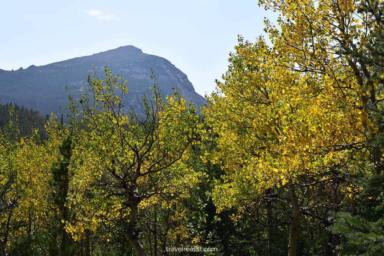
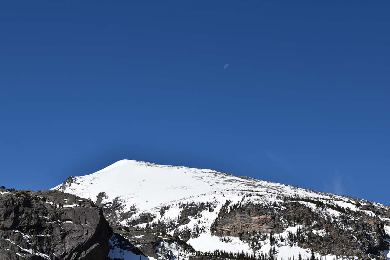
Rocky Mountain: A Land of High Elevation Trails
Rocky Mountain National Park Guide
Use our realistic Rocky Mountain Guide to plan your next adventure in this national park.
Rocky Mountain National Park is a very popular park. It has everything one could wish for from a mountainous park.
This post includes affiliate links that will earn us commission if you make a purchase via these links.
Sights & Places of Interest
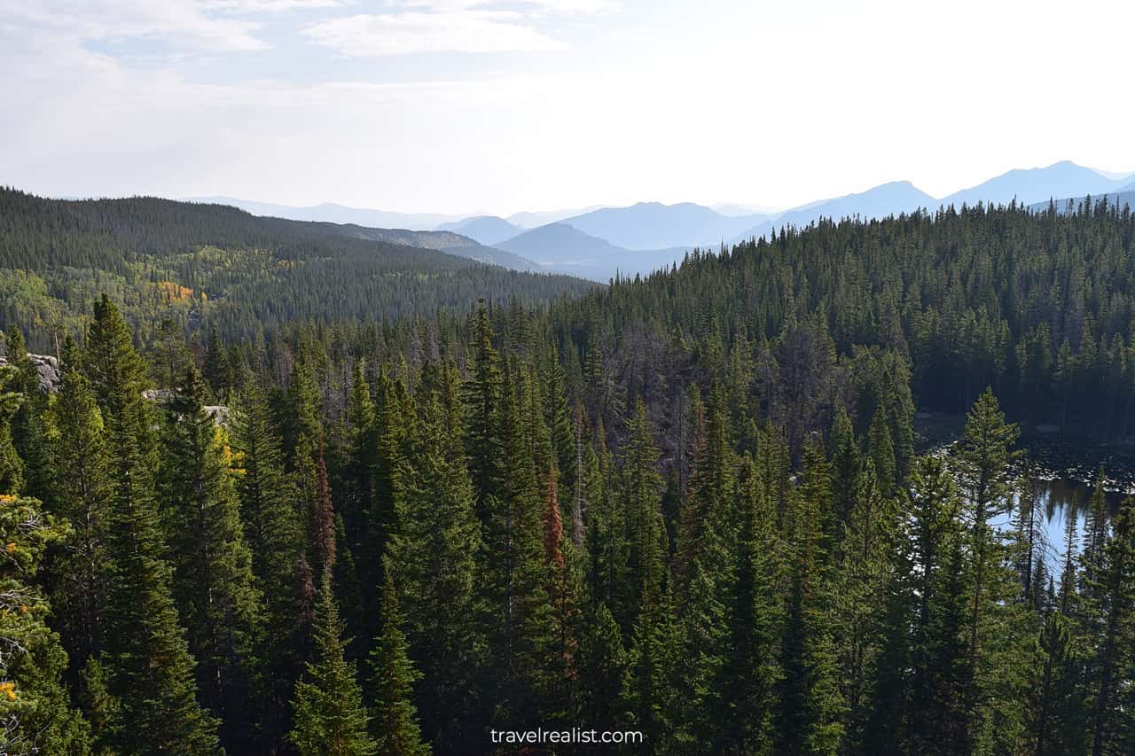
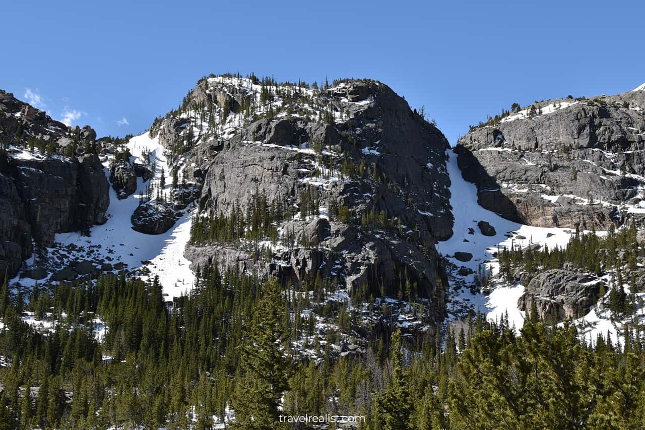
The park is massive and has several units. It is impossible to cover all of the park’s natural wonders in one day.
This Rocky Mountain Guide describes each park unit in detail. But the descriptions are different. Some units will have Rocky Mountain guided hikes. Others will follow scenic drives and wildlife spotting.
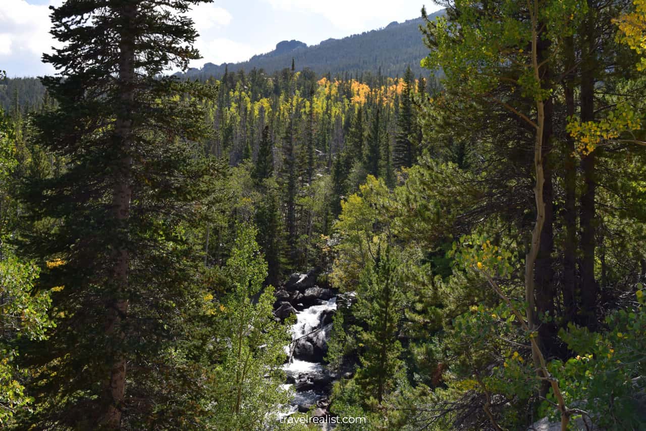
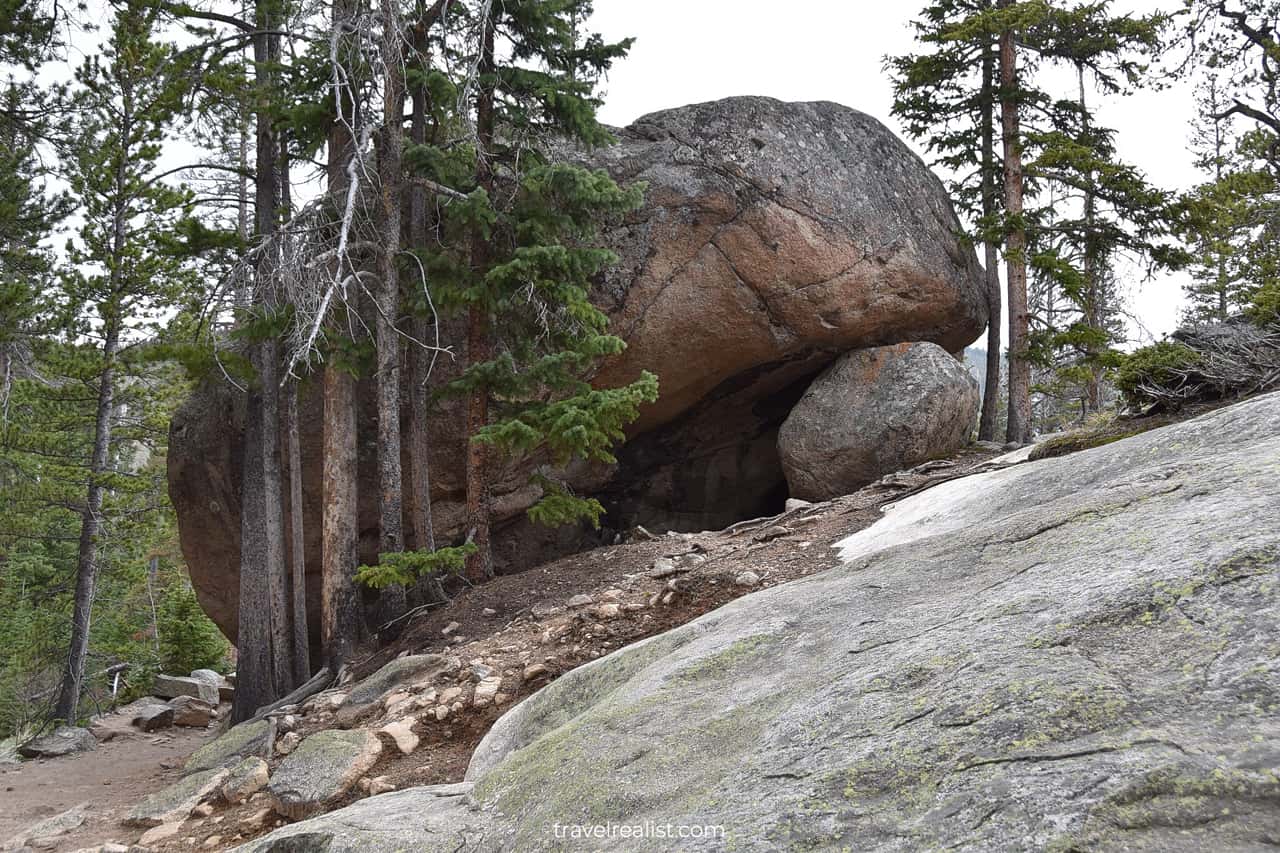
Bear Lake Corridor
The Bear Lake Corridor Trails have the winning combination of trail length, difficulty, and beauty based on the prior research. These trails are closest to Estes Park, CO. It makes them a great day trip activity.
If you arrive in the park around 8:30 a.m., the Bear Lake trailhead parking might be full. You would have to park about 3-4 miles (5-6 km) before the trailhead at the Park & Ride station. The park runs free shuttles to the trailhead.
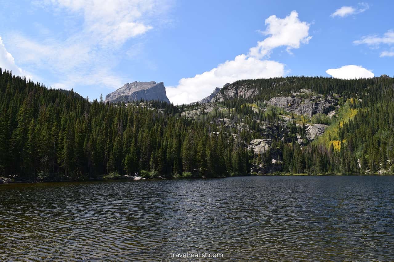
Bear Lake
Bear Lake is the place of interest closest to the trailhead. There is a short loop trail around the lake. It is flat and accessible. This trail is a great option for families with small children.
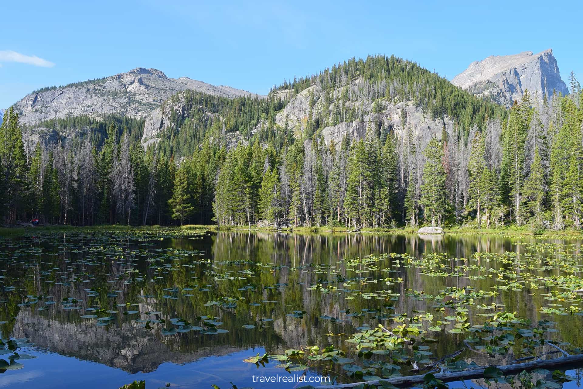
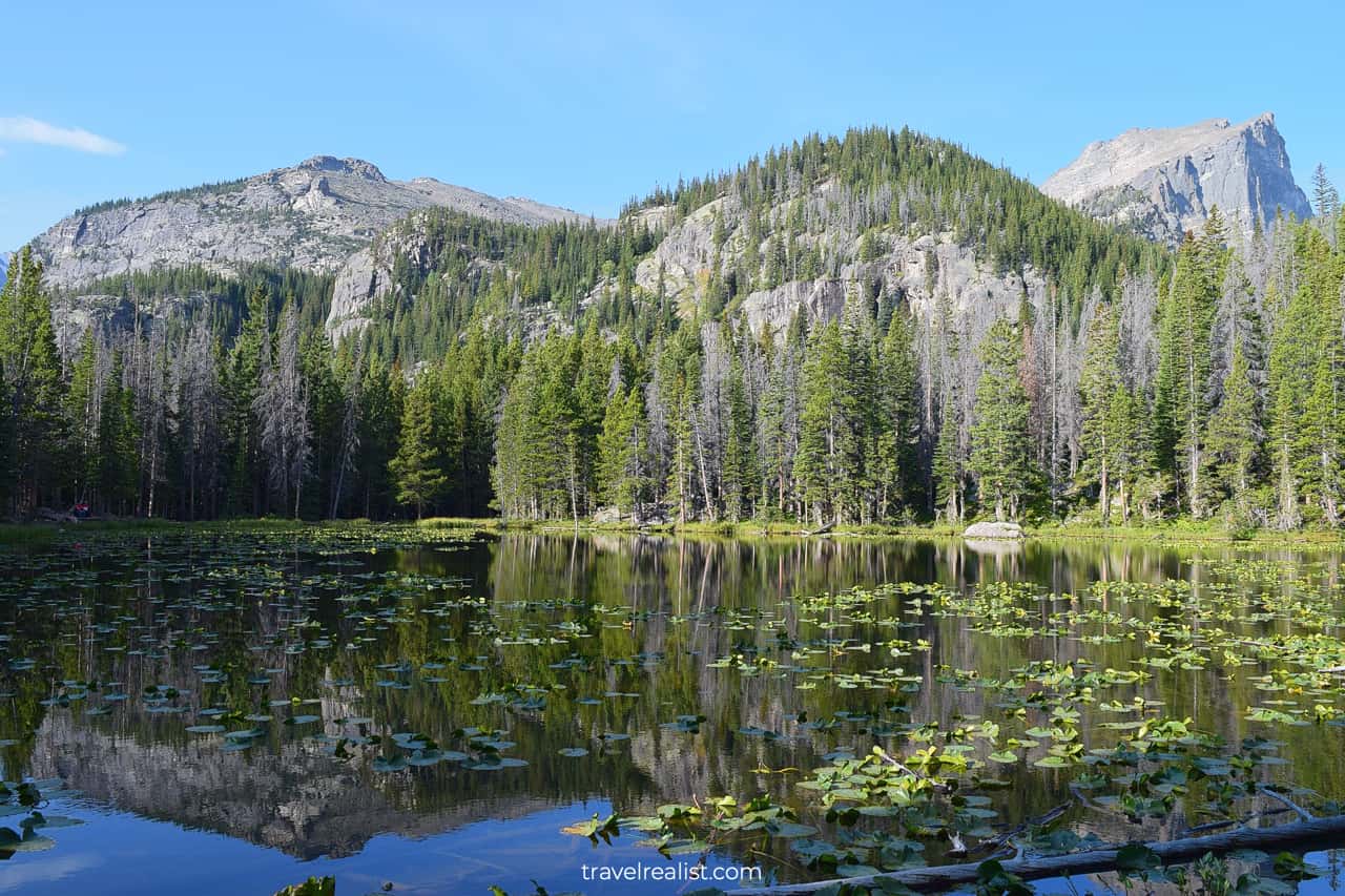
Nymph Lake
The rest of the sights in the Bear Lake Corridor involve elevation gain. But they are worth the uphill hike.
Nymph Lake would be your next stop on the trail. It is a small lake just 0.5 miles (800 m) from the trailhead. You will gain 225 ft (69 m) during these 0.5 miles.
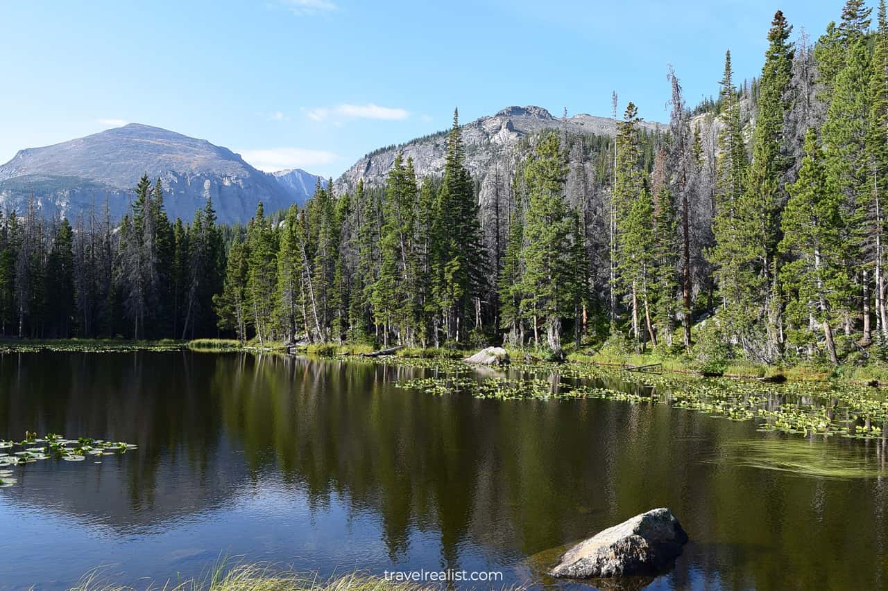
The lake is full of pond lilies. Mountain reflections and lilies make the lake very scenic.
You will reach a great viewpoint after hiking another five minutes uphill. It overlooks the Nymph Lake. You will also get the first clear view of the Rockies.
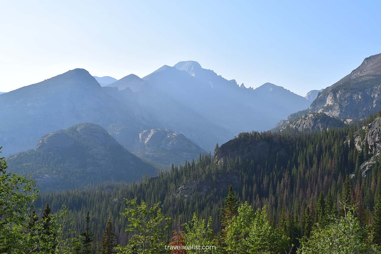
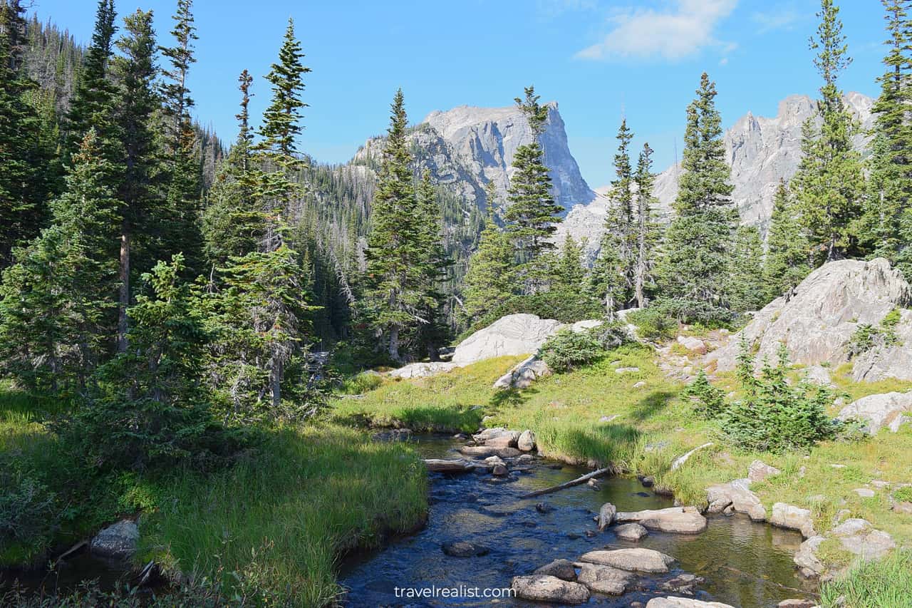
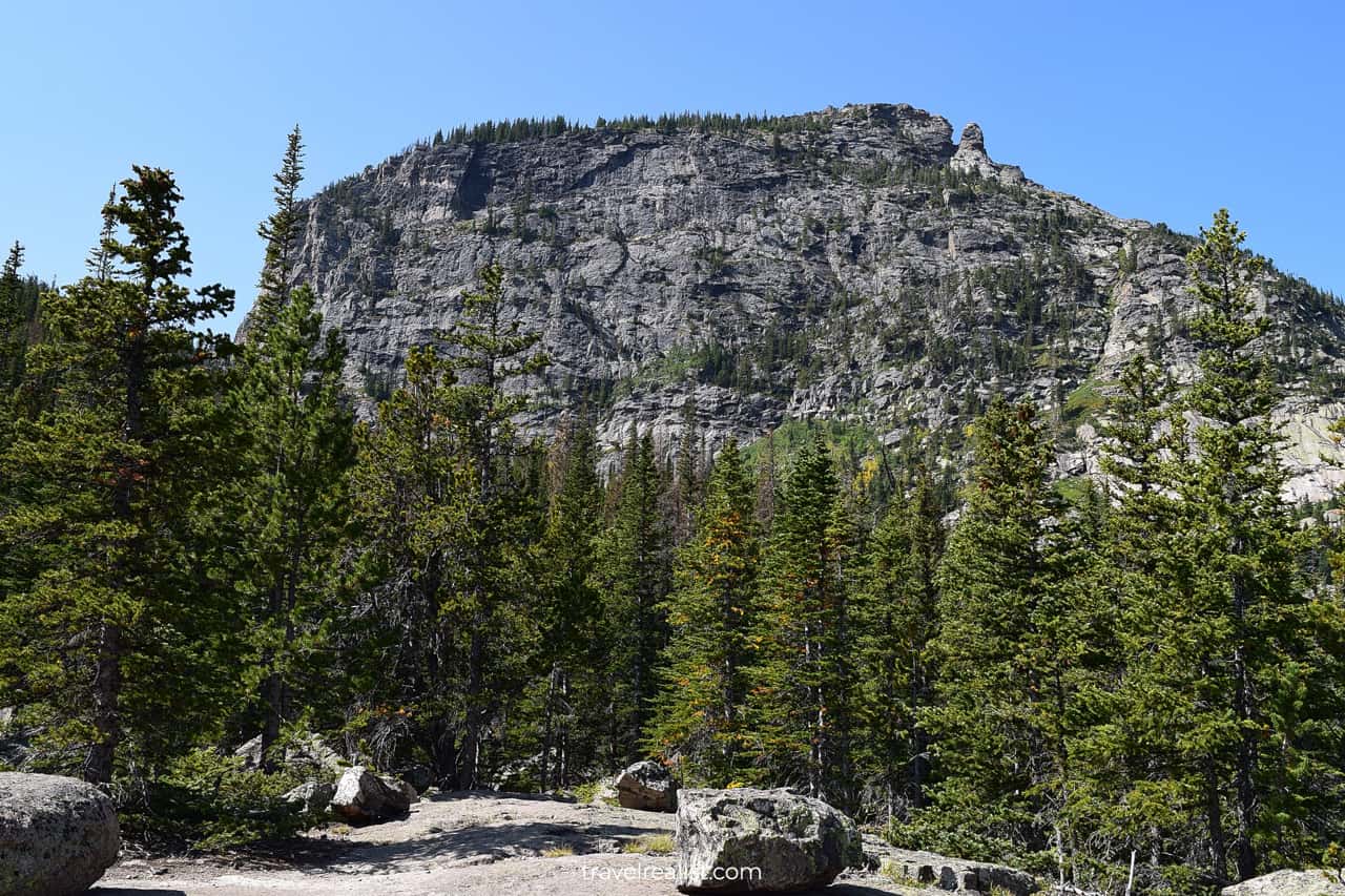
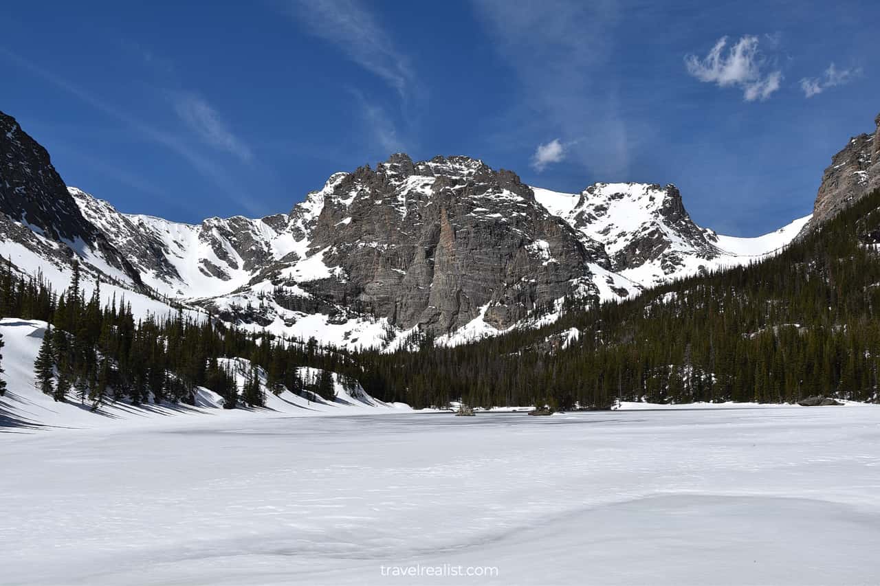
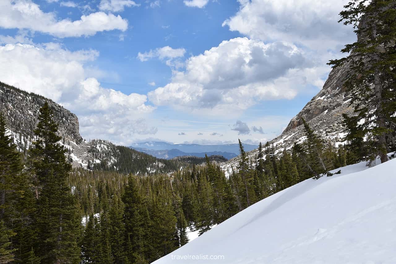
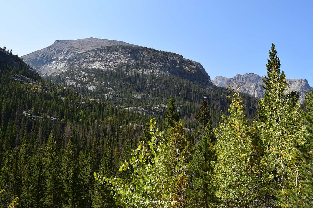
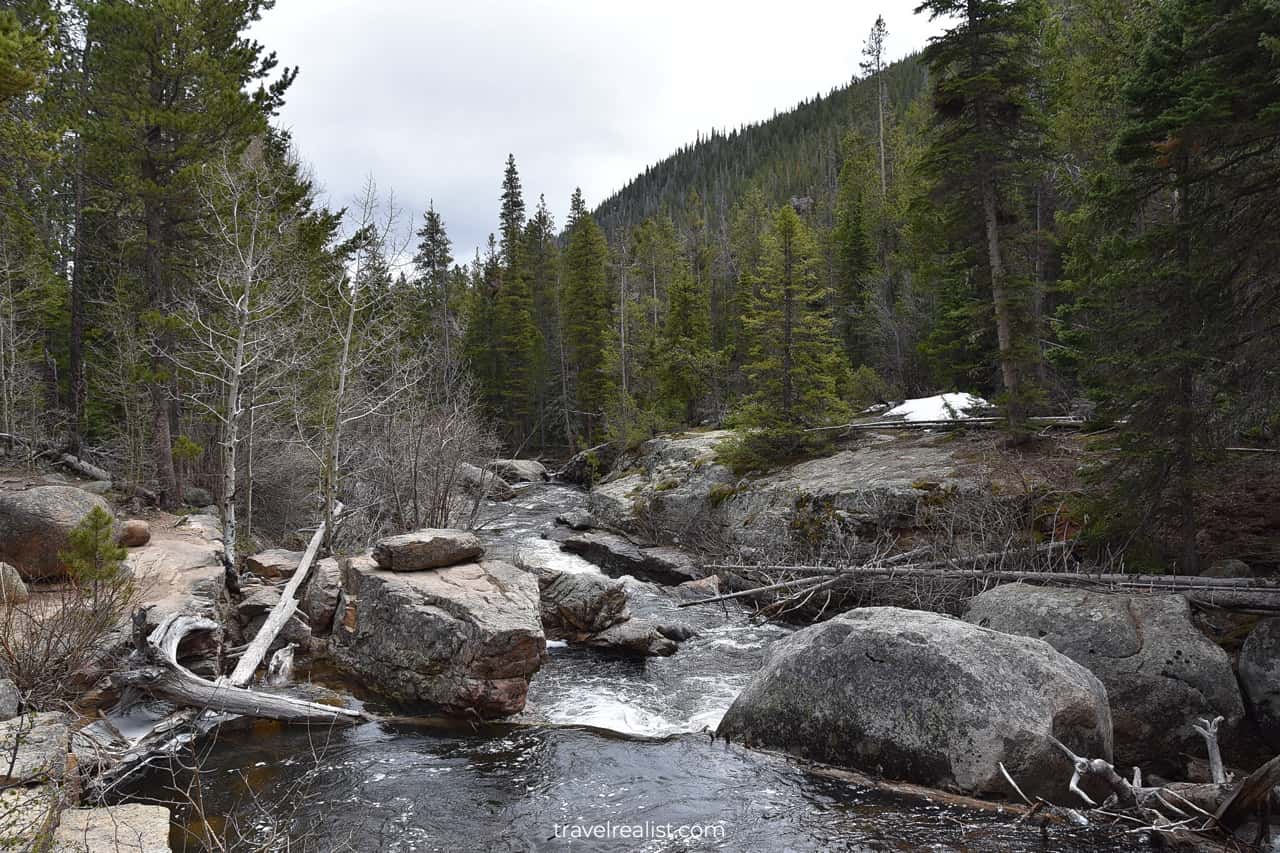
Glacier Gorge
The trail section between Nymph Lake and Dream Lake offers a look into the Glacier Gorge. It includes two mountain peaks.
- Storm Peak (13,326 ft / 4,062 m) is in the center.
- Thatchtop (12,668 ft / 3,861 m) is on the far right.
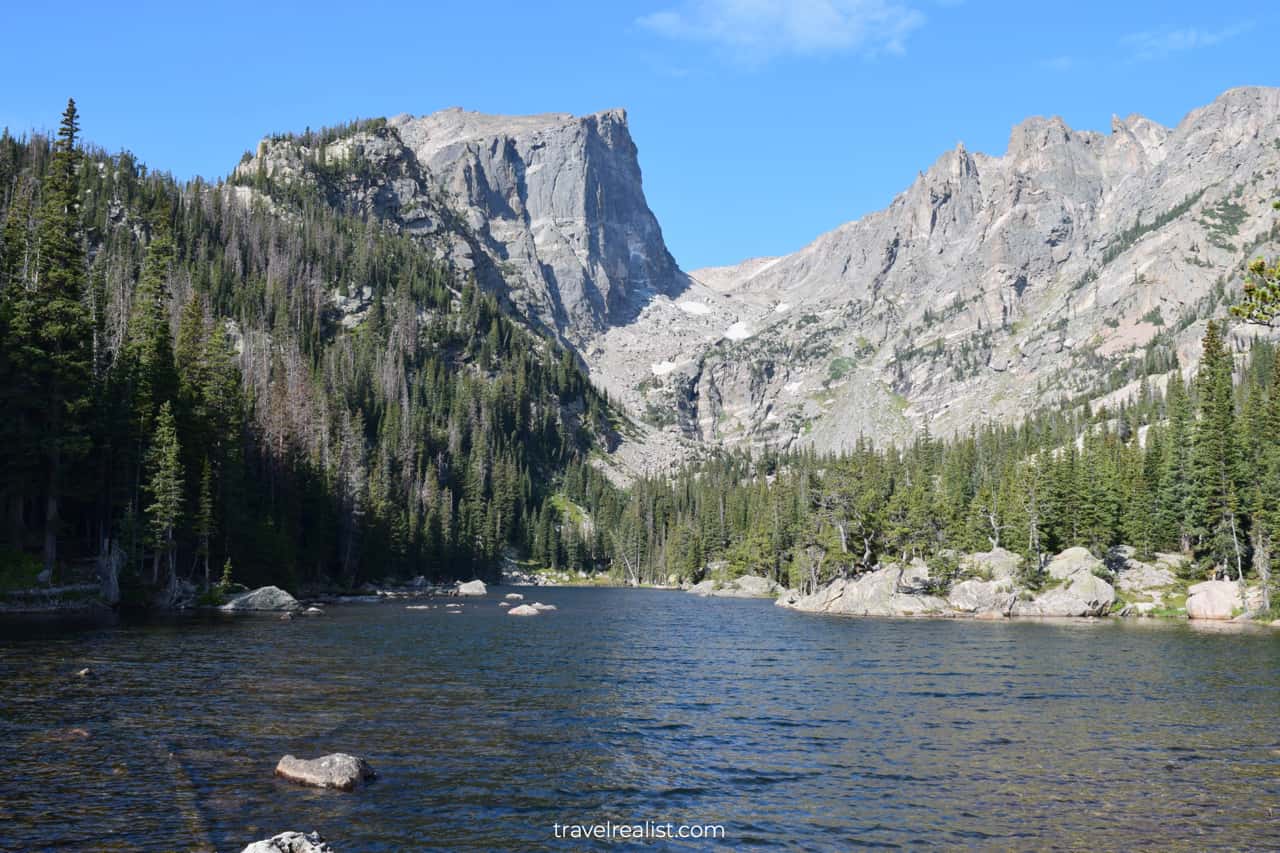
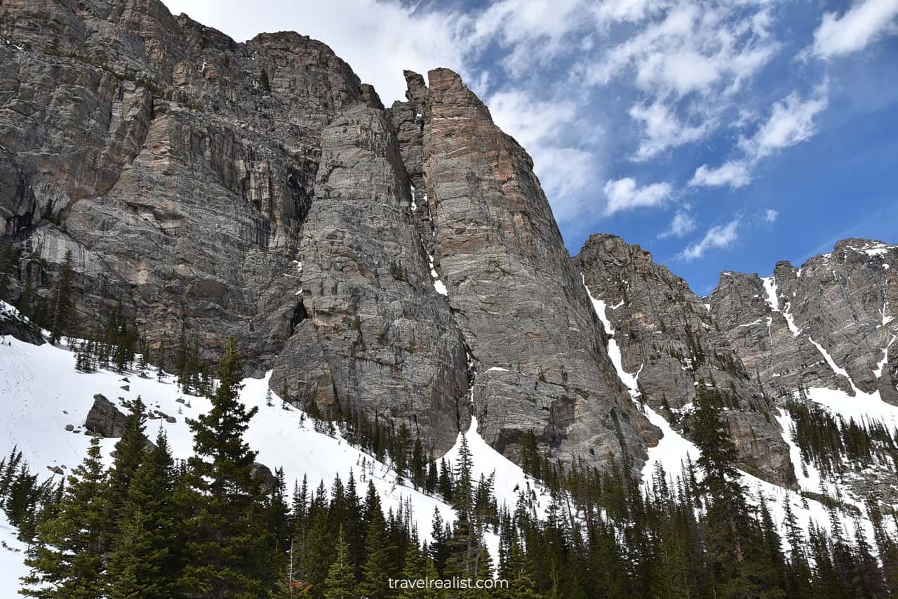
Dream Lake
You will reach Dream Lake after another 0.6 miles (1 km). You will gain about 200 ft (61 m) in elevation during this uphill section.
Pine trees and boulders surround this lake. You will likely see glacier and snow in the distance. This viewpoint also shows the gorgeous beauty of Hallett Peak (12,713 ft / 3,875 m).
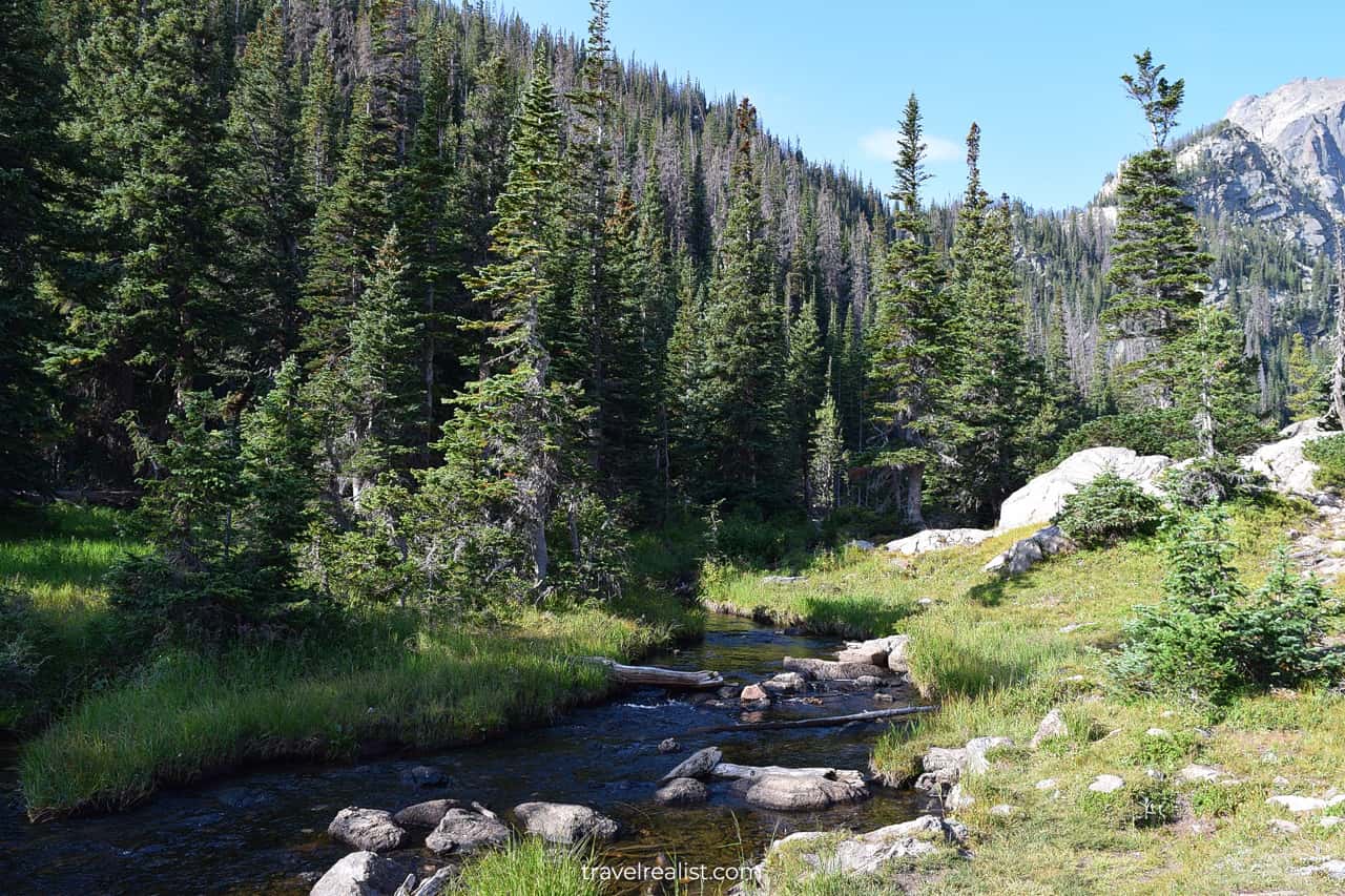
You need to take a quick turn to the Emerald Lake Trail for the best views of Dream Lake. Get ready to cross a creek connecting both lakes via a log.
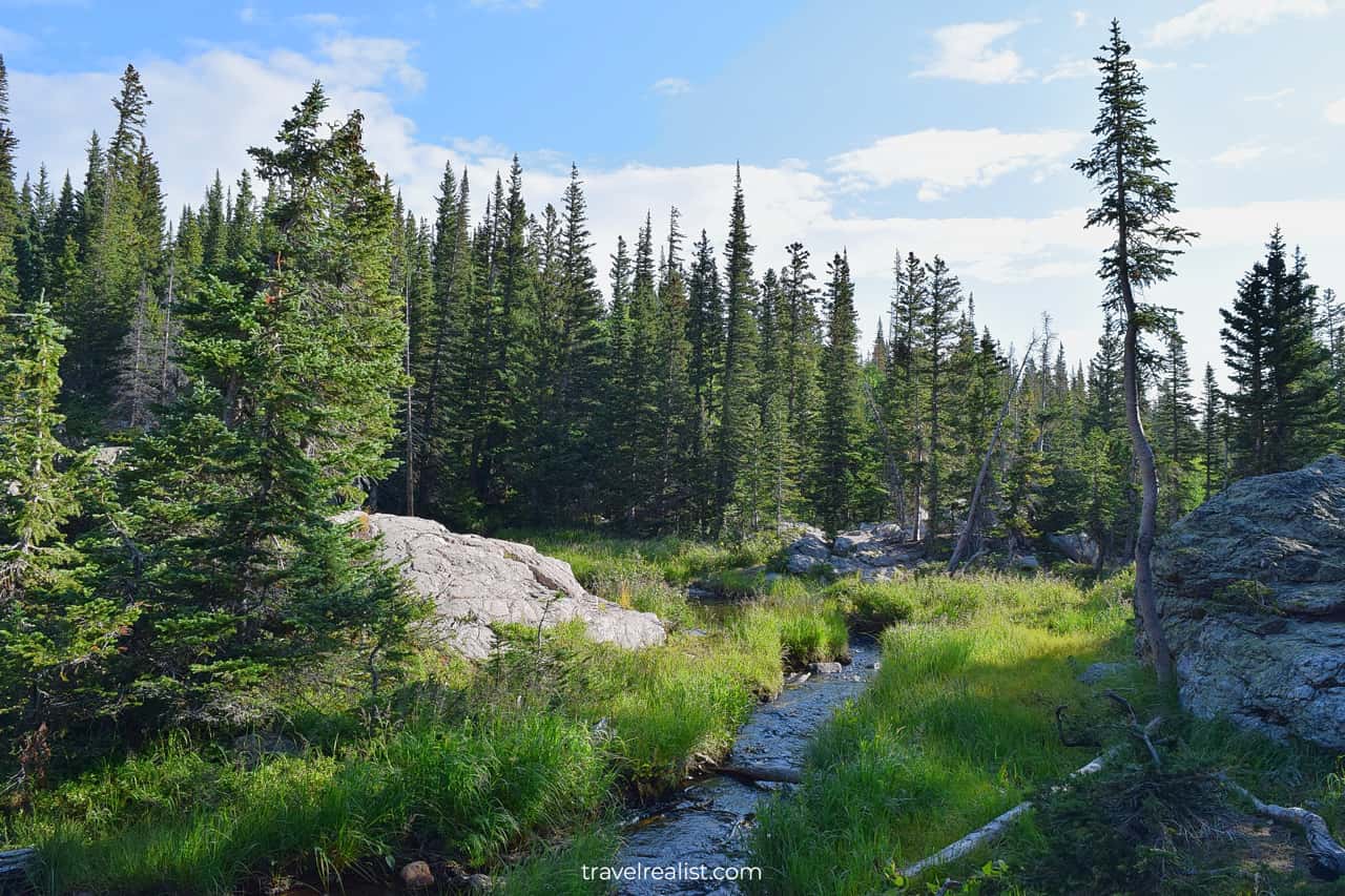
Even the creek crossing is scenic. You can get a good look at the alpine meadows.
There are two options after this viewpoint. You can continue on the Emerald Lake Trail further. It is an out-and-back hike. Or you could turn back and hike towards Lake Haiyaha.
The trail first ascends for about 0.5 miles (1 km). It is one of the highest elevation gains (300 ft / 91 m) on the entire hike.
On the plus side, the elevation revealed some of the best views of the Rockies.
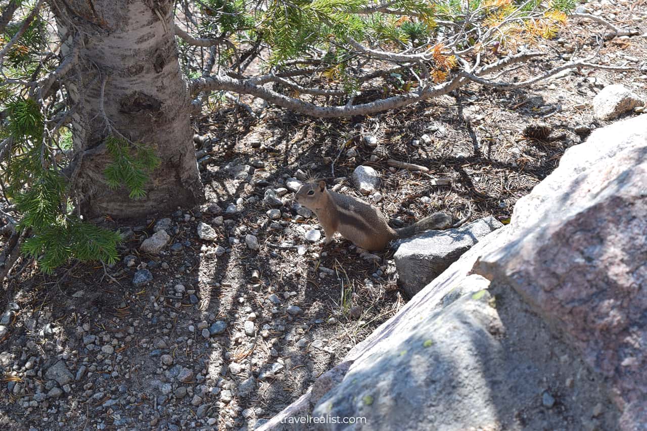
You will not walk this trail alone. Ground squirrels will follow your every step. This happens when hikers feed them. Follow the rules and keep wildlife wild.
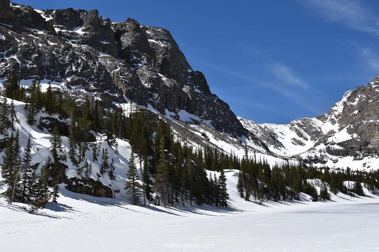
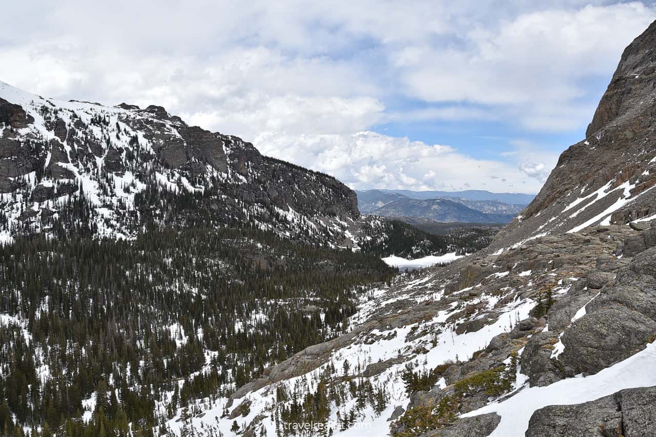
Lake Haiyaha
The trail starts to descend after that viewpoint. You will be hiking downhill when you reach Lake Haiyaha. It is a beautiful mountain lake with rocks, pine trees, and mountain summits.
Lake Haiyaha is at 10,240 ft (3,121 m). It is only lower than than The Loch and Sky Pond on this hike.
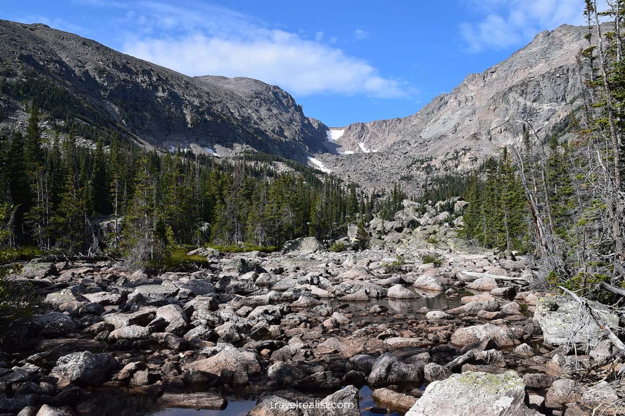
Haiyaha comes from the Native American language. It means “big rocks”. This name is very spot on.
You can jump and hike on the big rocks that surround the lake. But pace yourself. It is a strenuous activity at high altitude.
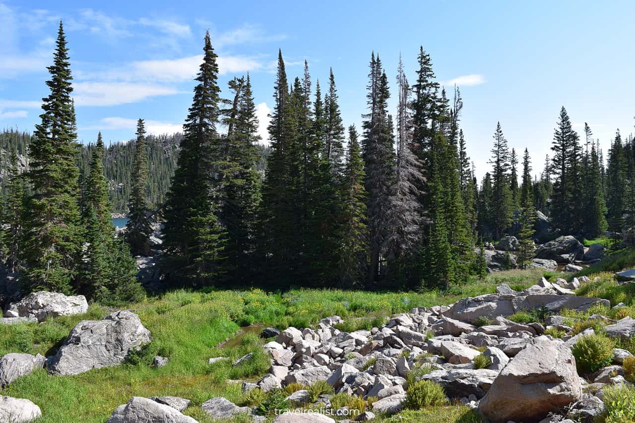
You will keep hiking downhill from Lake Haiyaha all the way to the Loch trail junction.
Think no further if you wonder what direction to take on this loop trail. Hiking counterclockwise from Bear Lake to Alberta Falls is the easier route. You will experience a slightly lower elevation gain.
Loch Valle
The Loch Trail Junction is a major milestone. You have five options:
- Hike west to The Loch, Timberline Falls, and Sky Pond
- Hike south to Mills Lake and Black Lake
- Hike the North Longs Peak
- Hike east to Alberta Falls
- Hike back to Bear Lake
The first three hikes are very strenuous. You might only be able to complete one of them during the day.
This section of the Rocky Mountain Guide will describe a hike to Sky Pond.
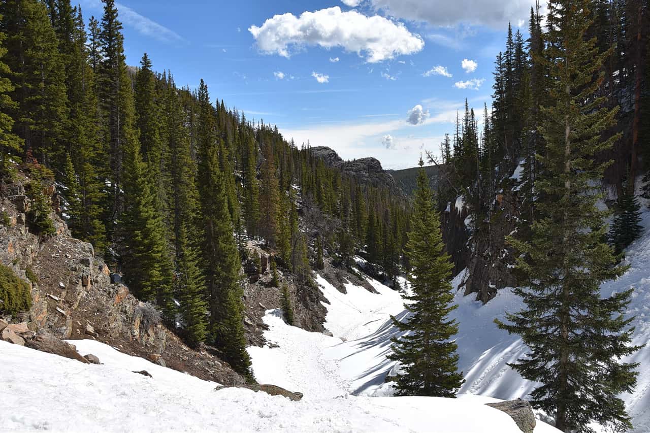
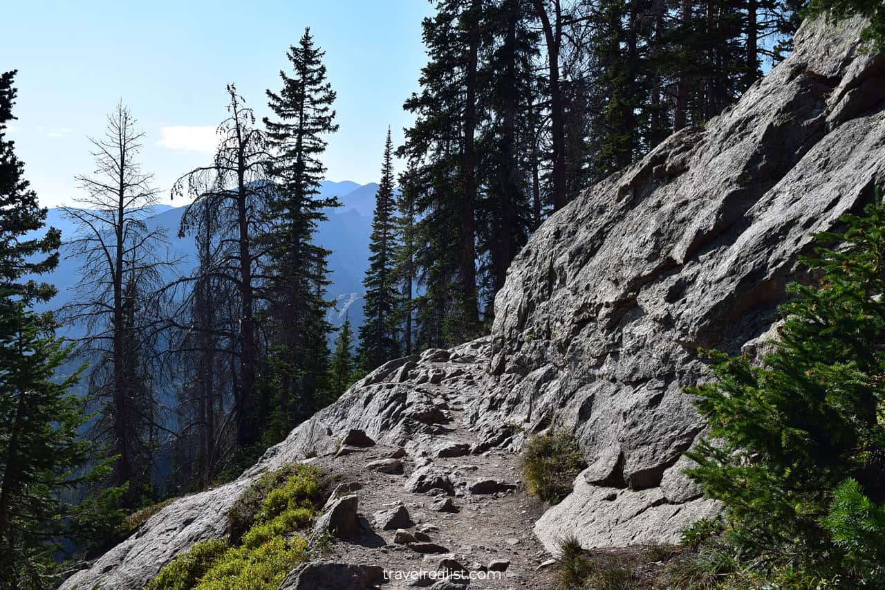
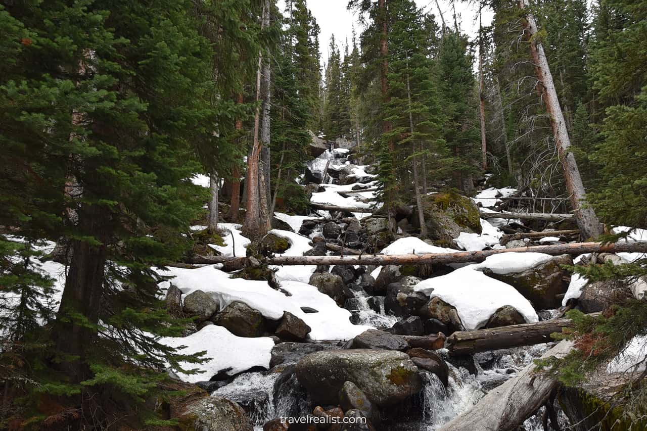
The trail starts to quickly gain elevation after the Loch Trail Junction. Expect snow and ice when hiking in spring and winter.
It is very challenging to hike in these conditions. The surface is slippery. And you are hiking at even higher altitudes. Pace yourself. And budget time to get used to the altitude.
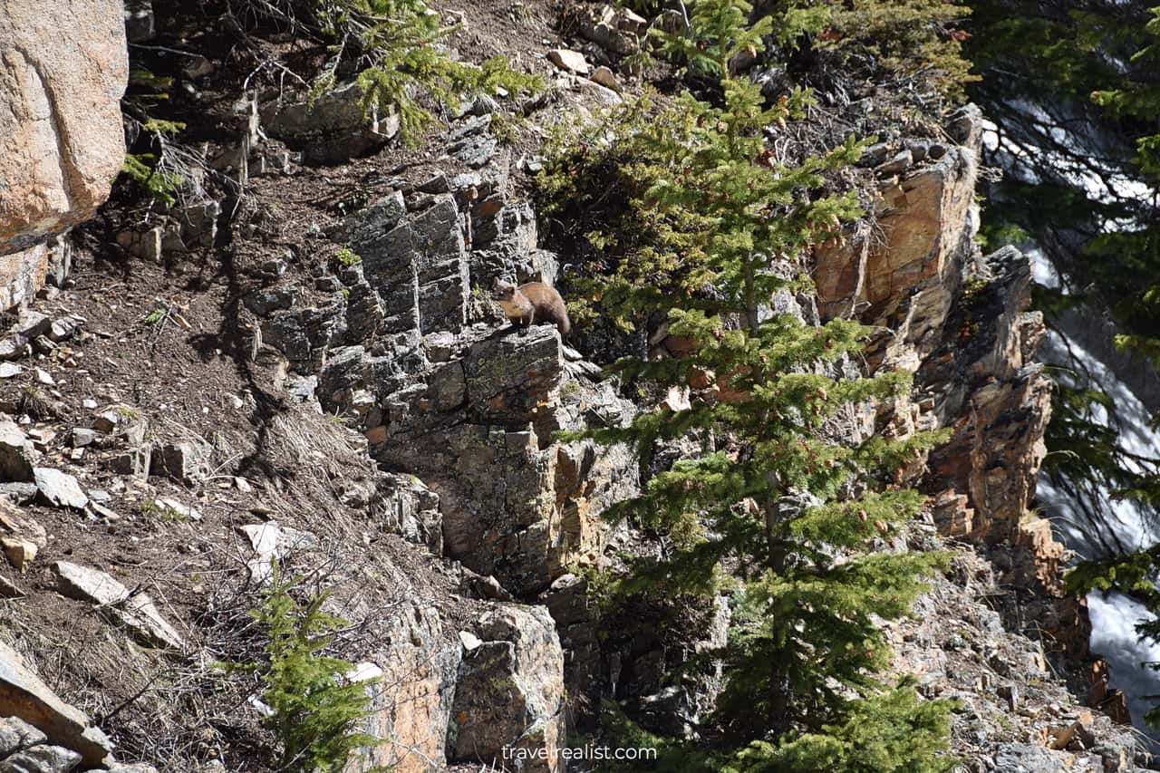
Do not forget to look around. You might have company on this challenging climb. See if you can spot an American marten.
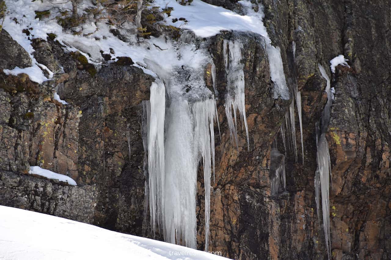
Hiking in the spring has some advantages. You can look at the impressive ice spikes.
Once you finish the climb you will be almost at the Loch.
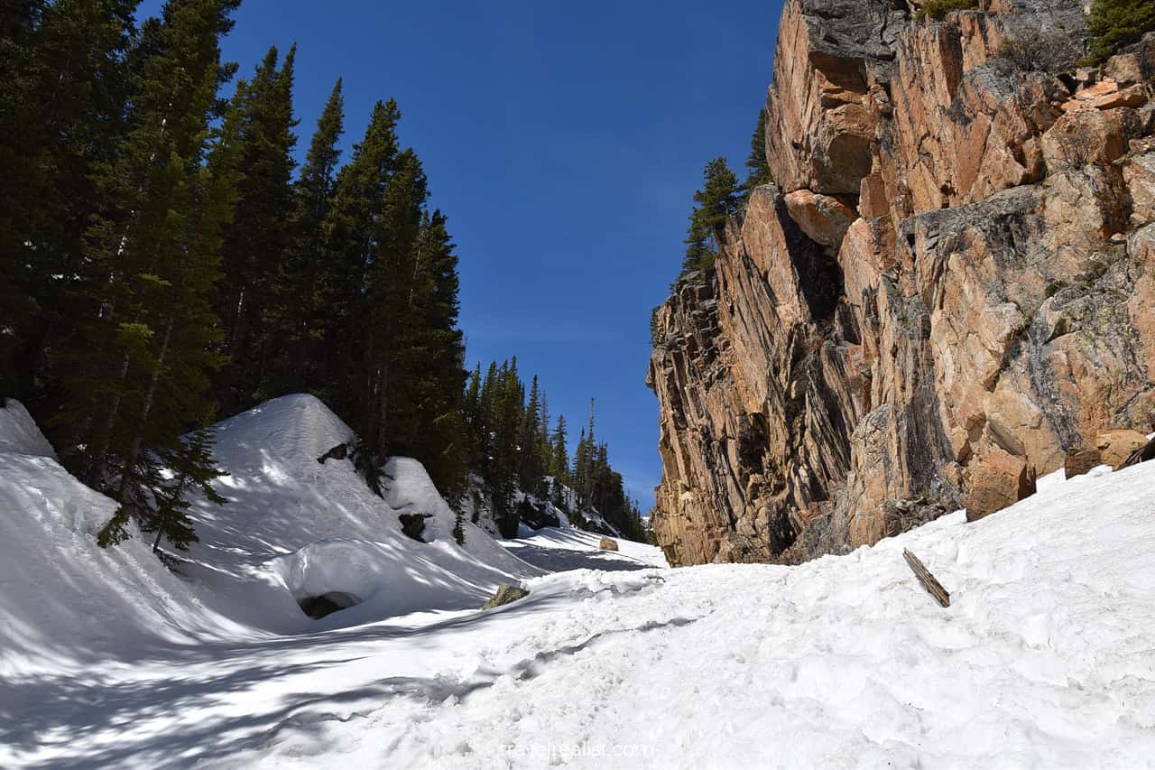
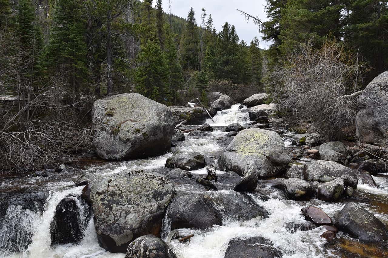
Glacier Creek
You just need to cross the Glacier Creek. Also known as Icy Brook, this creek flows from the lake. Large piles of snow and ice surround the creek in the spring.
The Loch
Ice will also cover most of the lake during colder seasons.
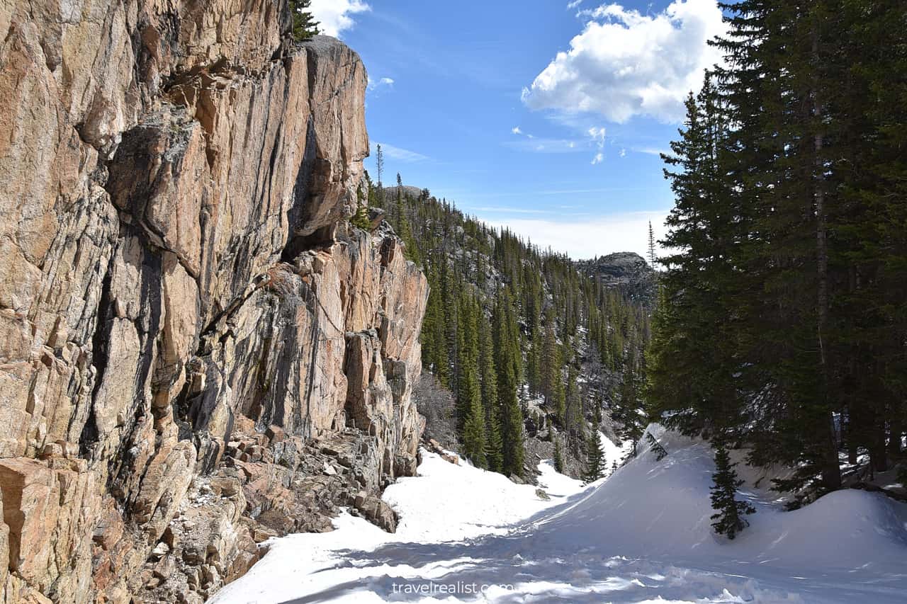
Ice presents another issue when hiking this trail. It is not often clear where the trail is. There will be footsteps all over the place. Some hikers proceed on ice. But hiking on the frozen lake is not a good idea during the shoulder seasons.
It is better to take your time to locate the trail. Offline maps could help with that. The trail to Timberline Falls is on the right shore of the lake.
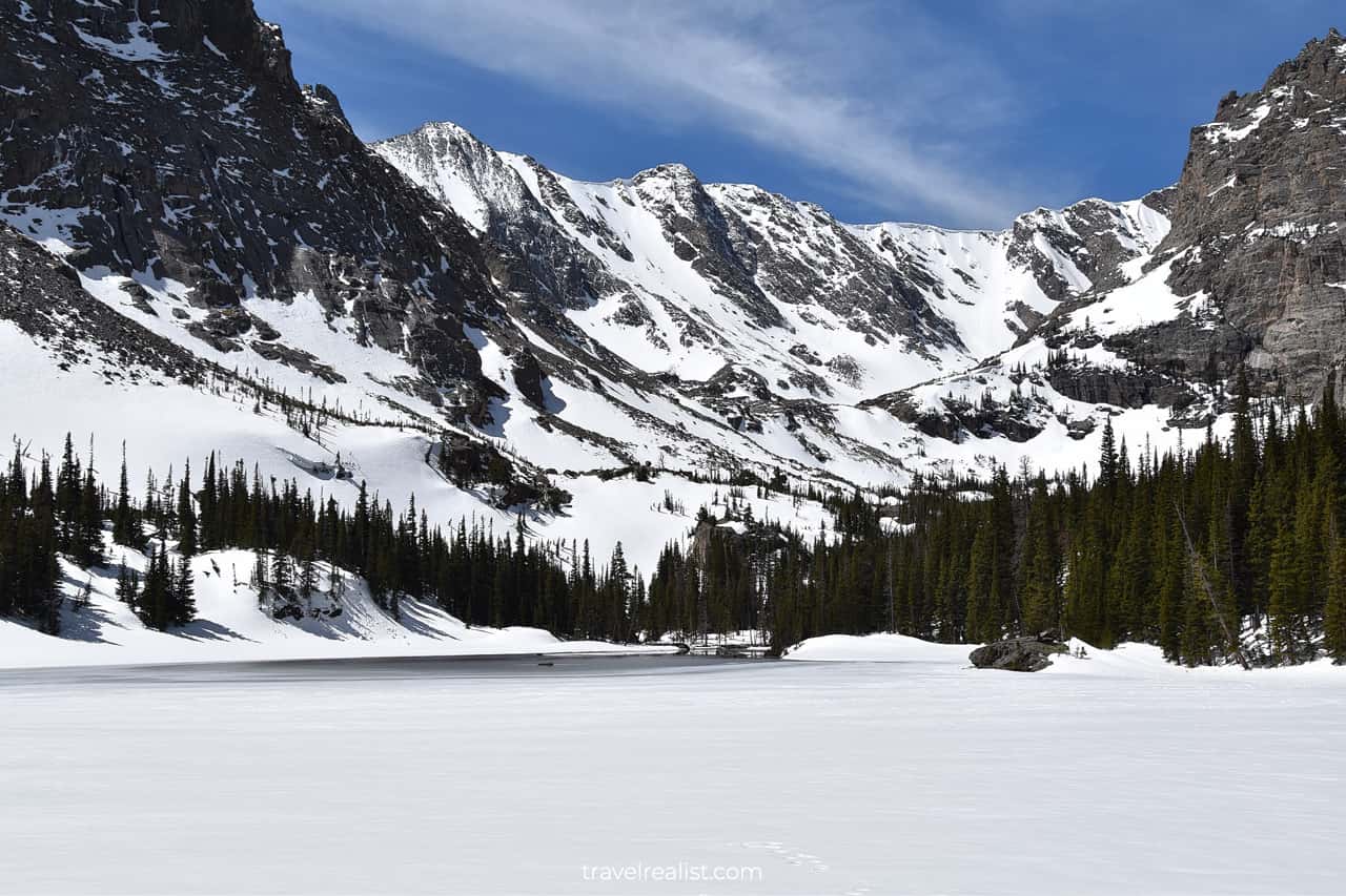
You will be able to confirm soon if you made the right decision. The ice at the western lakeshore and the Glacier Creek is the first to melt.
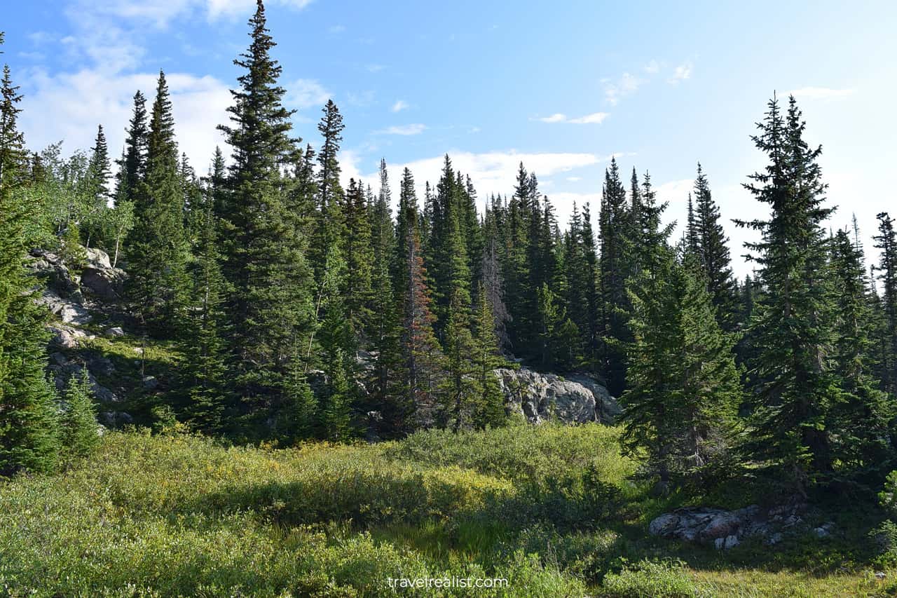
The next section of the trail proceeds through a forest. There is a moderate elevation gain.
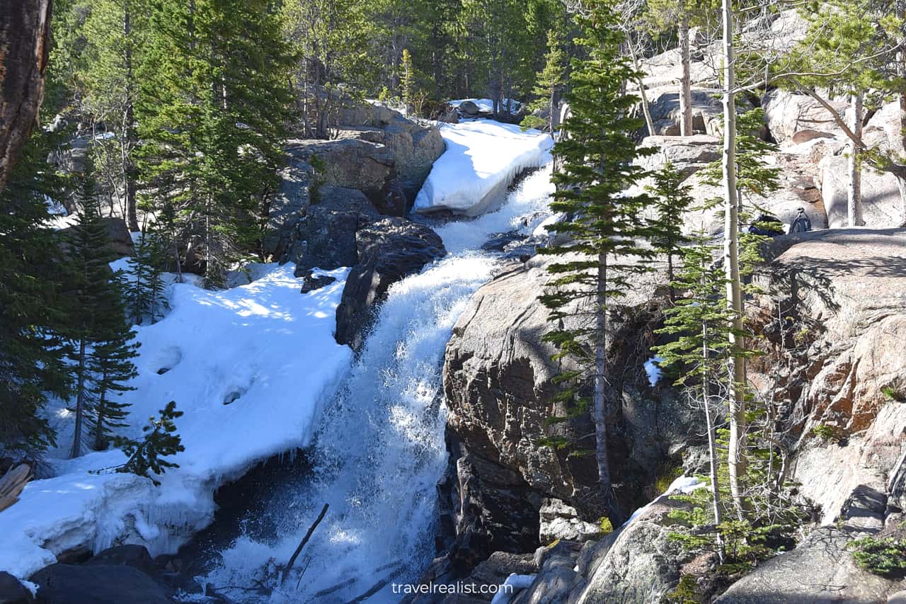
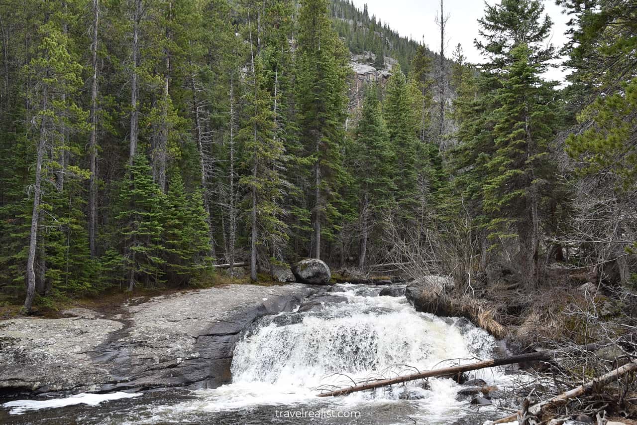
Timberline Falls
But things will change once you arrive at Timberline Falls. The trail will quickly gain elevation. You will be climbing on snow and ice rather than hiking from that point on.
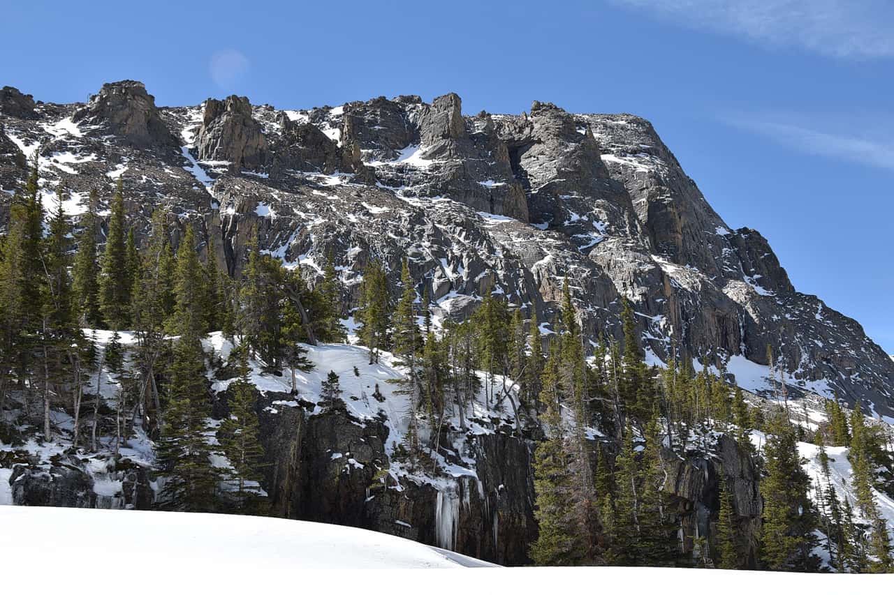
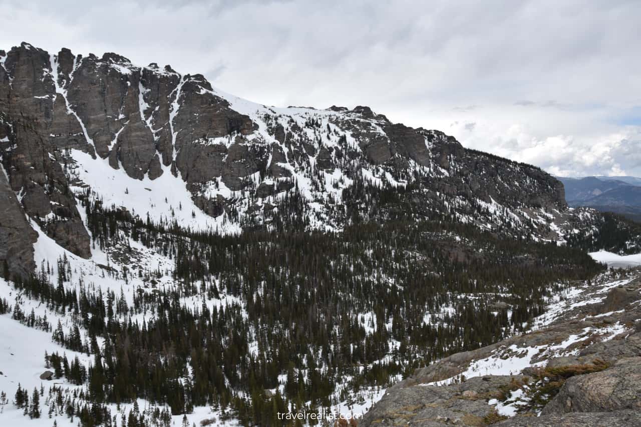
Once you reach the top of the climb, stop to catch your breath. The beautiful views of the Glacier Gorge will serve as your reward.
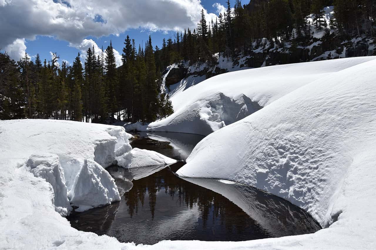
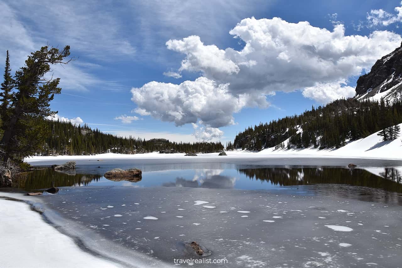
Sky Pond
The views of Sky Pond might be slightly less rewarding. The lake is barely visible in the spring. Snow and ice completely cover it.
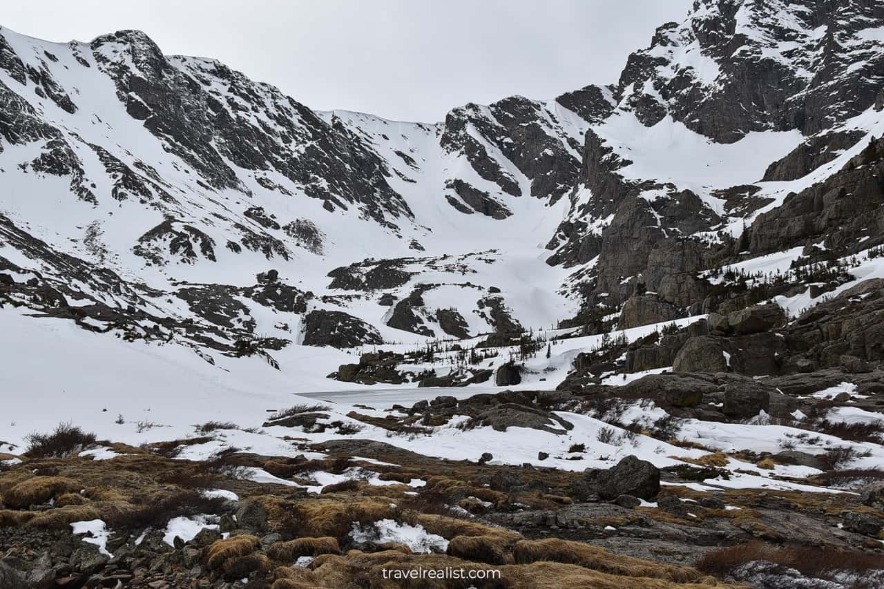
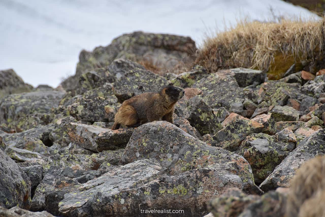
But you never know what you will see in the Rockies. Sky Pond is home to a few yellow-bellied marmots.
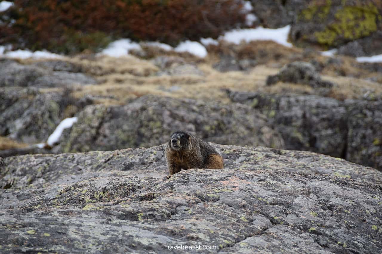
Like other animals, marmots pay attention to the hikers at first. But they soon lose interest if there is no food. Marmots soon continue on their path.
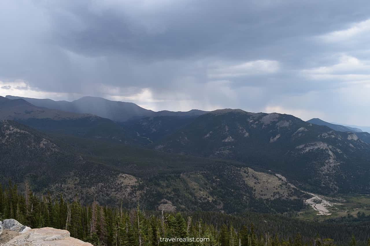
The weather in the Rockies is often unpredictable. Be ready for rapid weather changes when hiking. This is true for any season.
The Glacier Gorge could show a gloomier picture just a few minutes later.
East Glacier Knob
Sky Pond is an out-and-back hike. You will proceed through the same areas until the Loch Trail Junction. But the downhill hike makes it much easier to enjoy the views.
It is breathtaking how much the same areas change with seasons. This peak will look quite different in the spring.
You will continue to see snow and ice on the trail even at lower elevations. You would need to stay alert on the downhill hike. This is when most injuries take place.
You will go below the tree line just past the North Longs Peak junction. Enjoy this clear view of the Rockies. The rest of the trail to Alberta Falls is a walk in the forest.
Alberta Falls
Alberta Falls are in the final section of the trail. They are one of the most popular sights in the Bear Lake Corridor. You will run into other hikers at these falls during every season.
There is a simple reason. It is easy to reach Alberta Falls if you start your hike at the Glacier Gorge Junction Trailhead. This trailhead is on the shuttle’s route. You can take it to the Bear Lake Trailhead or the Park & Ride Station.
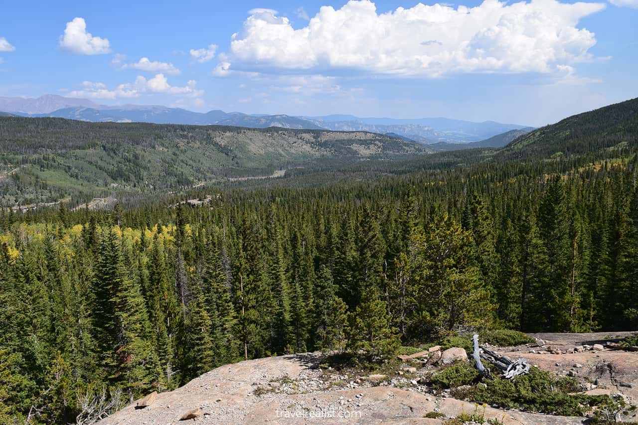
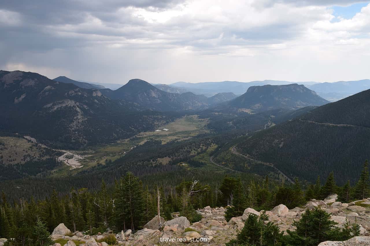
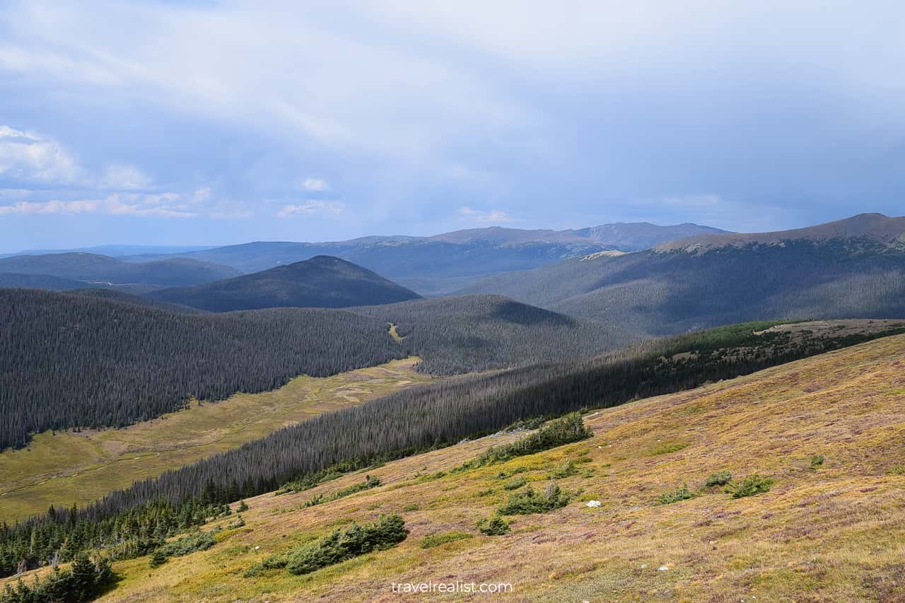
Trail Ridge Road
If you hiked to Sky Pond, you might not have the strength for other trails. But Rocky Mountain has a solution. There are two scenic drives in the park.
- Trail Ridge Road is a 48-mile (77-km) paved road through Alpine meadows.
- Old Fall River Road is a 11-mile (18-km) gravel road and a great place to spot elk.
The next sections of this Rocky Mountain Guide will describe the sights along the Trail Ridge Road.
Rainbow Curve
The Road starts at the intersection with the Fall River Road. It is a short drive from Moraine Park. The Trail Ridge Road quickly gains elevation.
Both Many Parks Curve and Rainbow Curve Overlooks provide great views of the Fall River Valley.
Forest Canyon
The weather in the park is unpredictable. It can be raining in one area. But it will be sunny just after a few miles.
Lava Cliffs
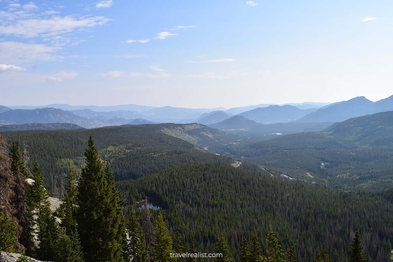
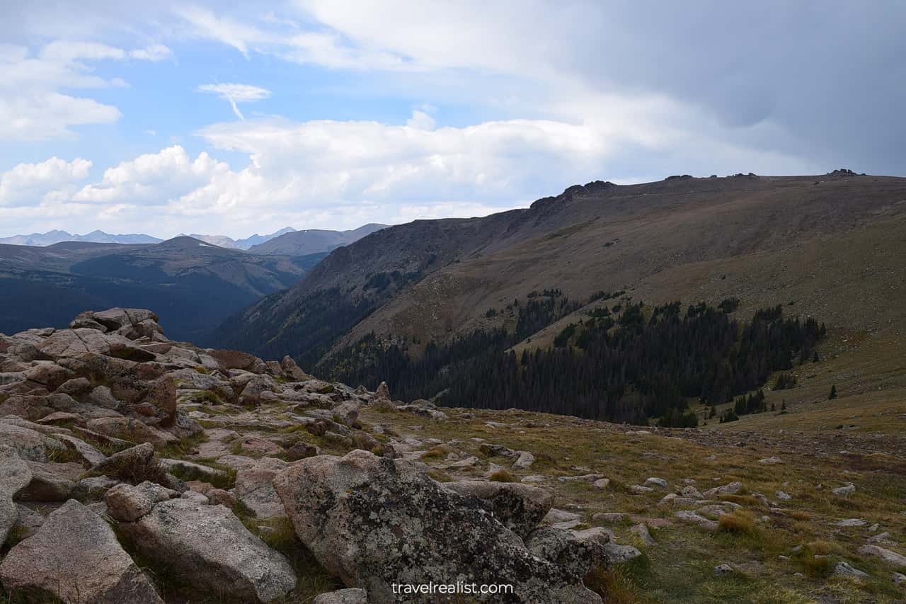
The landscape is very versatile. The Road starts in the evergreen forests. It continues through the Alpine meadows. And it reaches tundra at high elevations.
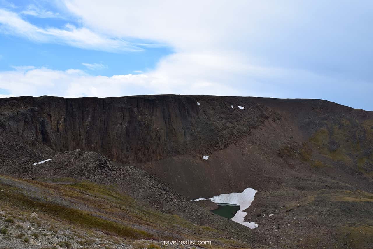
The Lava Cliffs Overlook provides a clear view at these impressive formations. Soon after this viewpoint you will pass the Highest Point on the Drive (12,183 ft / 3,713 m).
Alpine & Fall River Pass
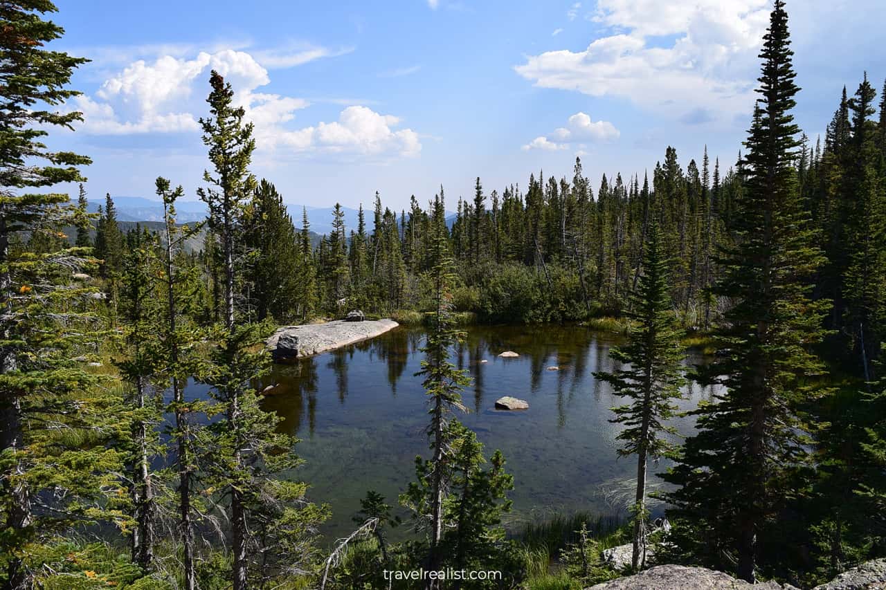
The Fall River Pass is home to the Alpine Visitor Center. It is a place where both of the park’s scenic drives connect. There are scenic meadows and creeks at this viewpoint.
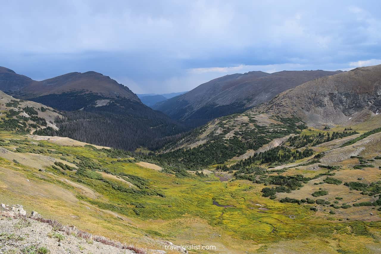
You will also find rocks and snow, no matter when you visit Rocky Mountain.
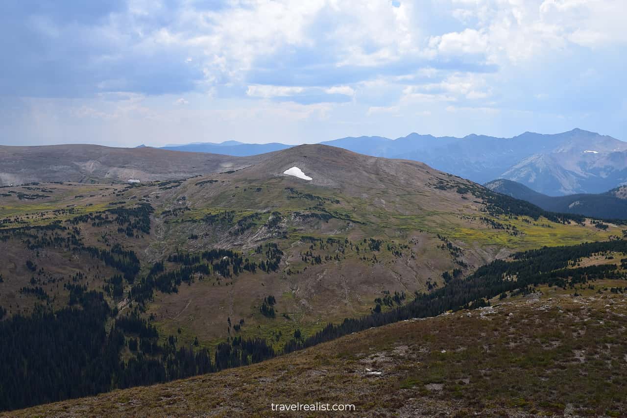
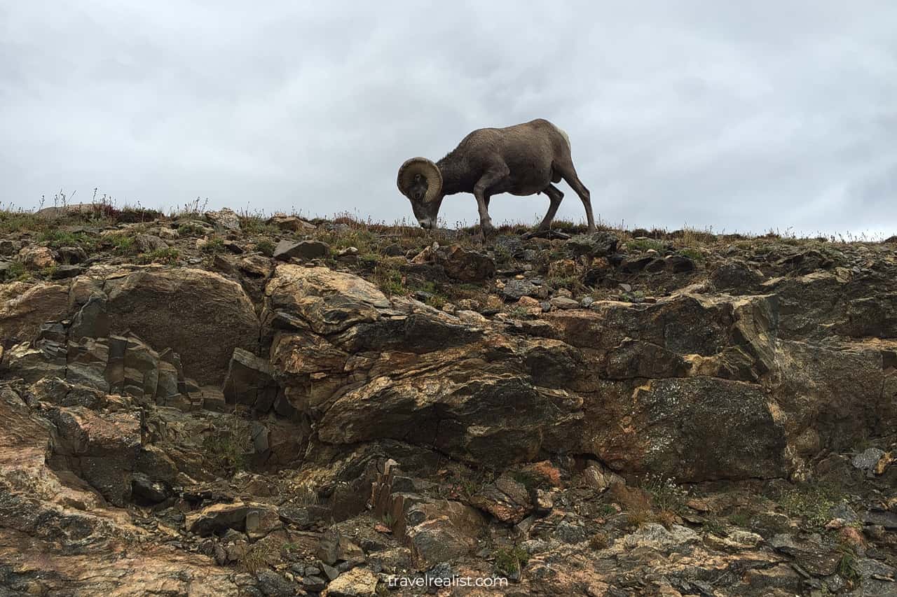
Milner Pass
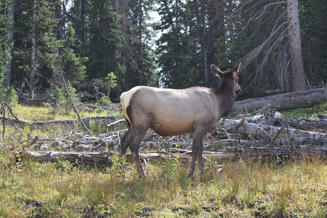
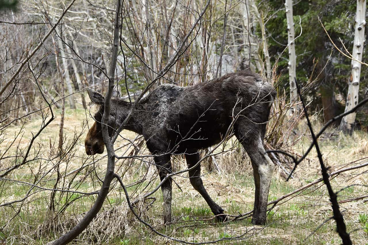
Once you pass the Continental Divide, you will arrive at Milner Pass. This is a great place to spot wildlife. Elk, moose, and bighorn sheep are regulars in Milner Pass. You can often see them from the shoulder of the road.
The Trail Ridge Drive continues via Timber Creek to Kawuneeche Visitor Center. This section of the drive is a little less scenic that the other areas.
Wild Basin
There is another unit of the park that deserves a mention. Wild Basin area is on the other side of the Continental Divide. It has several scenic waterfalls and trails.
Wild Basin will be the next section of this Rocky Mountain Guide.
The last 2 miles (3 km) of the road to Wild Basin parking lot are unpaved. But the road is in a good condition.
Lower Copeland Falls
Lower Copeland Falls are the closest attraction to the parking lot. You need to hike for just 0.3 miles (0.5 km) to reach them.
Upper Copeland Falls
Upper Copeland Falls are also just around the corner.
North St. Vrain Creek
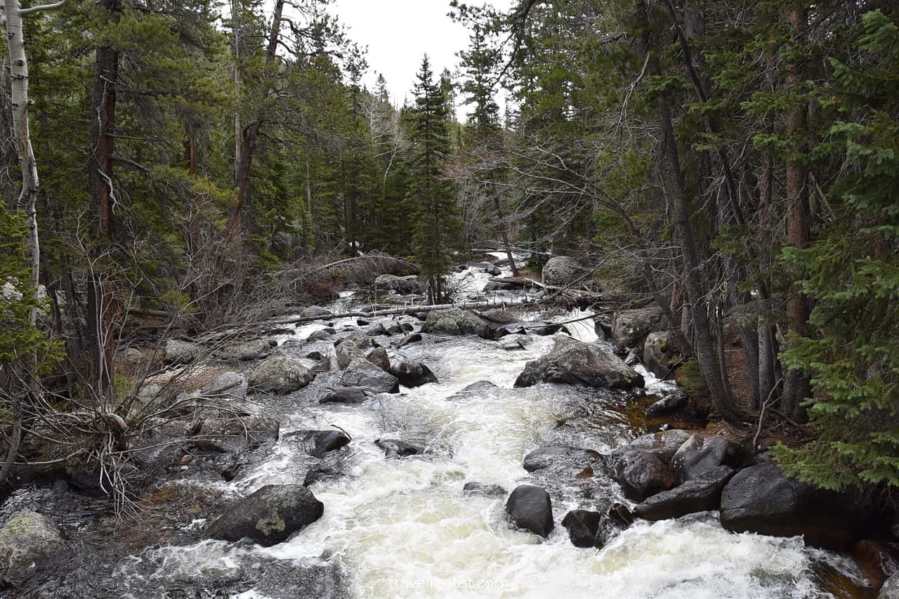
Once you pass the falls, you will be hiking along the North St. Vrain Creek for a while. The creek will be the main attraction of this section of the trail.
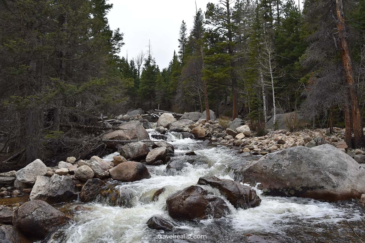
The trail does not have many milestones for 1.2 miles (1.9 km). You will only see large boulders and the creek.
But be on the lookout around Pine Ridge. This area has a campground and a few meadows. And it is a known wildlife spot.
Once you finish spotting wildlife, you have two options. You could continue along the same creek on the Thunder Lake Trail.
Cony Creek
Or you could turn towards Calypso Cascades at the next trail junction. In this case, you will follow the Cony Creek all the way to the falls.
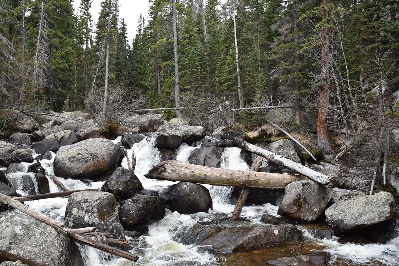
Calypso Cascades
Calypso Cascades are at higher elevation than the rest of the falls in Wild Basin. You can run into snow and ice on the trail when hiking in the spring.
But Calypso Cascades could be frozen. In this case, it would make little sense to hike to Ouzel Falls. You can continue on the Bluebird Lake Trail along the Ouzel Creek in the summer.
Continue with our Rocky Mountain Guide to learn more about ways to get to the sights, entrance requirements, and places to stay.
Getting to Rocky Mountain
Rocky Mountain is one of the easiest national parks to get to. The park is just an hour northwest of Denver and its sights. The park’s prime location attracts over 4 million visitors per year.
You can reach the park from Denver or from Grandby.
Where to Stay near Rocky Mountain
There are a lot of places to stay near Rocky Mountain National Park. But your lodging choice depends on how long you are comfortable driving to and from the trailhead.
Estes Park, CO is the prime location if you prefer to be close to the sights. The town is next to the Bear Lake Corridor, Wild Basin, and Alpine. But this location comes at a price.
There are options if you do not mind a longer drive. Loveland, CO and Fort Collins, CO have cheaper places to stay.
Entrance Requirements & Passes
Rocky Mountain National Park charges admission fees of $30 per vehicle. The park honors America the Beautiful annual passes.
It is best to purchase the pass ahead of your visit. Pass holders can use separate automated entrance lanes. This will save you precious time for hiking.
The park introduced measures to deal with overcrowding. You need an advance reservation to visit the park between Memorial Day Weekend and mid October. There are two reservation options.
- Park Access Plus reservation allows you to visit all areas of the park.
- Park Access reservation does not include the Bear Lake Corridor.
Each reservation costs $2 per vehicle. This fee is non refundable. And the annual pass does not cover it.

Takeaways: Rocky Mountain
Rocky Mountain National Park is an very beautiful park. It has it all: scenic drives, snowy summits, powerful falls, deep lakes, and wildlife.
It is impossible to cover this park on a day trip. You would have to make sacrifices and hard choices. This Rocky Mountain Guide aims to help you make these decisions easier.
The weather in the Rockies could play a role in your visit. It is unpredictable and changes often.
Altitude is also important. Do not be fooled by the duration of the trails. The hike from Bear Lake to Sky Pond and Alberta Falls takes 8.7 miles (14 km). But it would feel more like 20 miles (32 km).
You start at the altitude of 9,449 ft (2,880 m). And you will gain over 2,000 ft (600 m) during the hike. Insufficient amount of oxygen at higher elevations makes hiking challenging. You need to plan your route in advance. And give yourself time to get used to the altitude.
Take a look at our Rocky Mountain Video Guide and visit our YouTube channel for the latest videos.
Frequently Asked Questions
Summer and early fall are the best times to visit Rocky Mountain. The Trail Ridge Road will be open. And high elevation trails in the Bear Lake Corridor and Wild Basin will be free of snow.
You would need to plan ahead to visit Rocky Mountain
– Get an advance reservation for visits between the Memorial Day and mid October.
– Purchase America the Beautiful Annual Parks pass to use designated park holder entrance lanes.
The Bear Lake Corridor trails has some of the most scenic day hikes.
– The Bear Lake to Alberta Falls Loop covers the park’s iconic sights.
– The Sky Pond Trail brings you to the high altitude via the Loch and Timberline Falls.
Look into Wild Basin area of Rocky Mountain. Copeland Falls and Calypso Cascades attract fewer visitors than the Bear Lake Corridor.
– Make a plan of your hikes or scenic drives.
– Know your limits.
– Budget extra time to enjoy the park at high elevations.
It costs $30 per vehicle to drive on the Trail Ridge Road. You would also need to pay $2 non refundable reservation fee.
Safe realist travels!