Mount Evans: Scenic Byway to A Fourteener
This realistic Mount Evans Scenic Byway Guide helps you plan your next adventure on this scenic highway.
Mount Evans Scenic Byway is a mountain road in Colorado. It has been one of the best sights near Denver since its development in 1991.
This post includes affiliate links that will earn us commission if you make a purchase via these links.
Sights & Places of Interest
Mount Evans is a peak in the Rocky Mountains. It has an elevation of 14,271 ft (4,350 m). This elevation makes Mount Evans the 14th highest peak in Colorado.
Location and elevation also mean that this mountain is one of Colorado Fourteeners. As the name suggests, fourteeners are mountains above 14,000 ft.
There are 53 mountains of such height in Colorado. You need climbing experience to reach most of these peaks. But no climbing is necessary to get to Mount Evans.
You could also find Mount Evans under its possible new name, Mount Blue Sky. The renaming process started in 2022. It received support from the public officials in Colorado.
The U.S. Board of Geographic Names is the last step. If it approves the change, Mount Blue Sky will be the new name of this mountain.
A handful of mountains changed names over the years. Mount Denali, the highest peak in North America, is one of them. Mount McKinley was its former name.
As a result, a new name does not makes Mount Evans unique. But there is one thing that sets it apart. It is the highest mountain in North America that you can reach in a car.
Mount Evans Scenic Byway is the highest paved road in North America. The highway climbs over 7,000 ft (2,100 m) in just 28 miles (45 km).
This Mount Evans Scenic Byway Guide will now walk you through the main sights on the way.
1. Echo Lake
This Scenic Byway has a few sections. You could drive on some of them freely. Other parts of the Byway require both a fee and a reservation.
The section on Highway CO-103 from Idaho Springs to Bergen Park is free. Weather is the only thing that could stand between you and the views.
This highway may close after heavy snowfall in winter. Also beware the chain requirements in Colorado. You will not be able to drive on mountain roads, like Interstate Highway I-70, without them.
The State Highway “only” gets to an elevation of 10,700 ft (3,261). Most of this section goes through the forest.
There are just a handful of viewpoints in this part of the drive. Most of them will be next to the creeks and scenic vistas.
Echo Lake is one of the bigger sights on the way. It is a free park near Arapaho and Roosevelt National Forests. You can go on a hike around the lake. Or hike up the mountain for a bit.
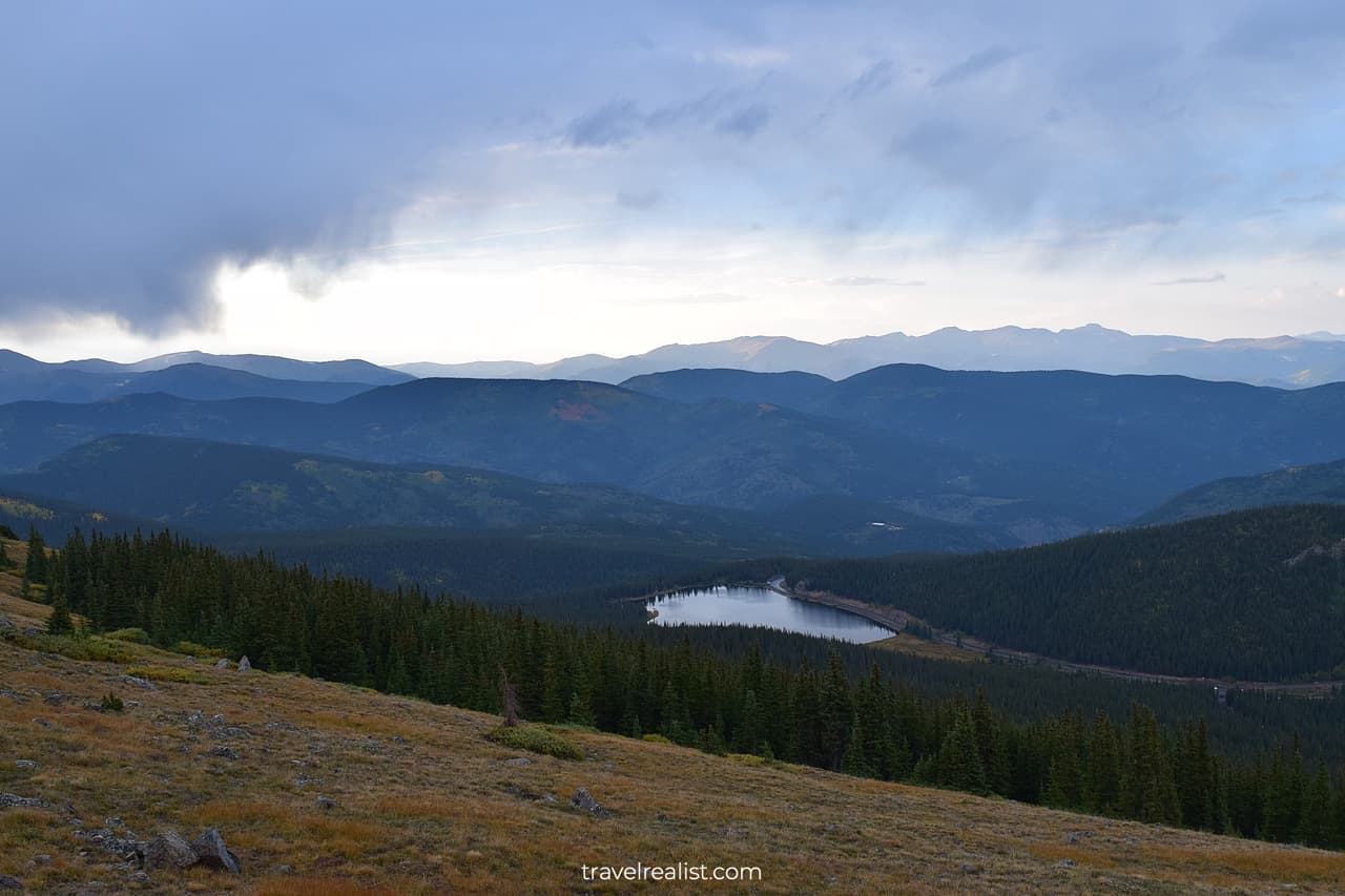
Highway CO-103 will bring you around Warrior Mountain, Chief Mountain, and Mestaa’ėhehe Mountain. You will arrive in Bergen Park if you drive this highway all the way east.
In this case, you would not even drive on the most picturesque part of Mount Evans Scenic Byway. You would need to make a detour to get the best views.
This section of the Byway requires a reservation. It will also be the focus of this Mount Evans Scenic Byway Guide.
2. Mount Goliath
You would check in at the entrance station. Prepare to spend some time in line. If you have a reservation, you can proceed further. You are about to drive on the highest paved road on the continent.
You will not see a change of scenery right away. The first few miles of the Byway after the entrance station also go through a forest.
You will need to drive to Mount Goliath Natural Area to get above the tree line. This Area has a Nature Center, a spacious parking lot, and two hiking trails.
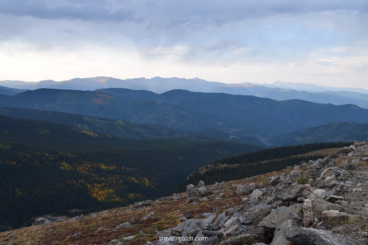
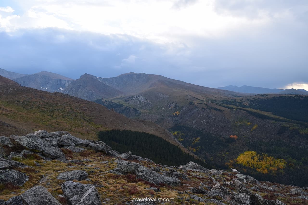
It is also one of the first spots on the Scenic Byway with a clear view of the Rockies. Take some time to enjoy the views. You will see Chief Mountain on the horizon. The view is better if it does not rain.
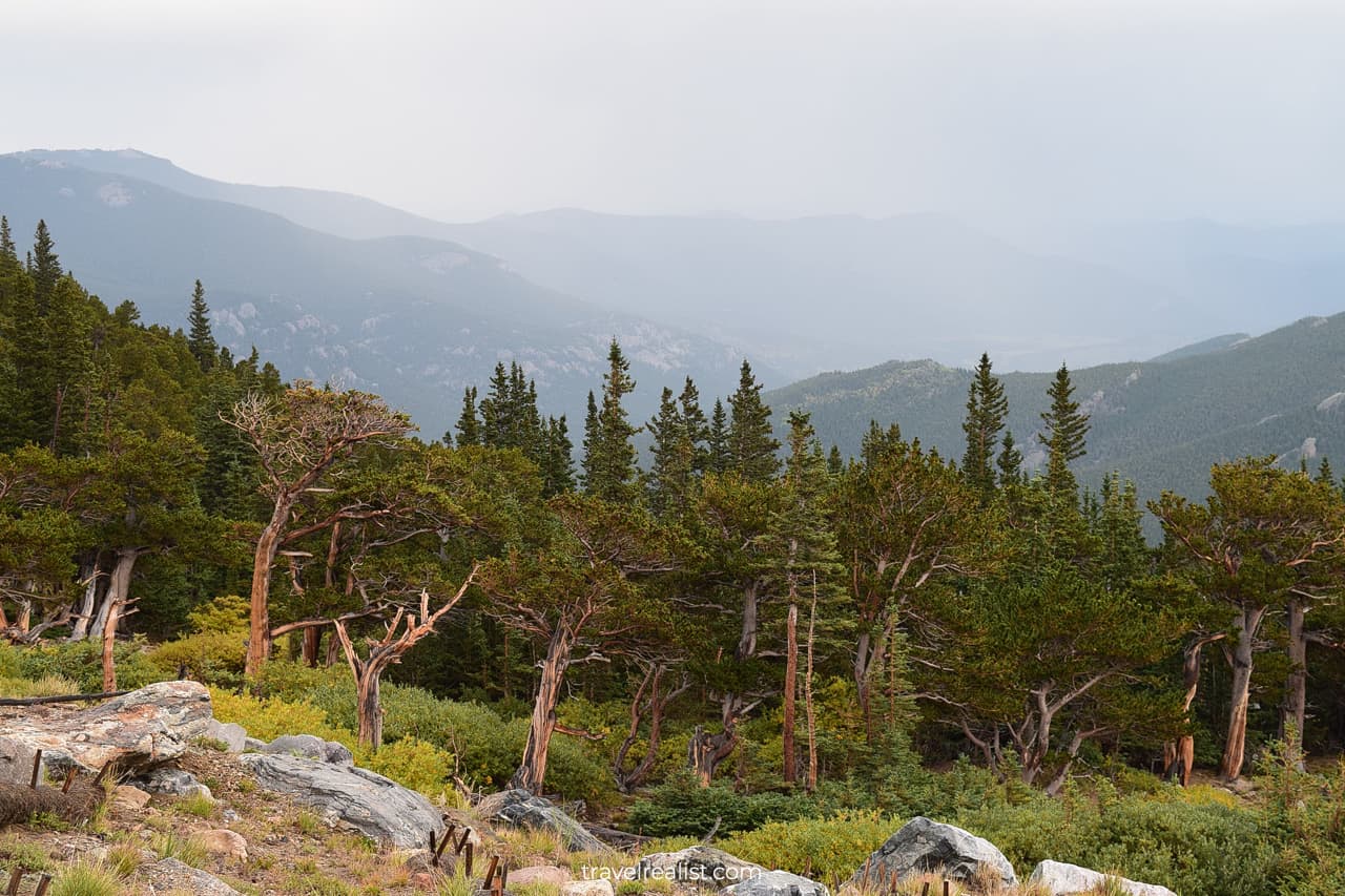
The landscape changes quickly as the byway climbs up the mountain. You will have a front row seat to this change.
There will be fewer trees and bushes the higher you drive. Even the bushes will disappear at some point. Meadows, creeks, and rocks will start to shape the landscape then.
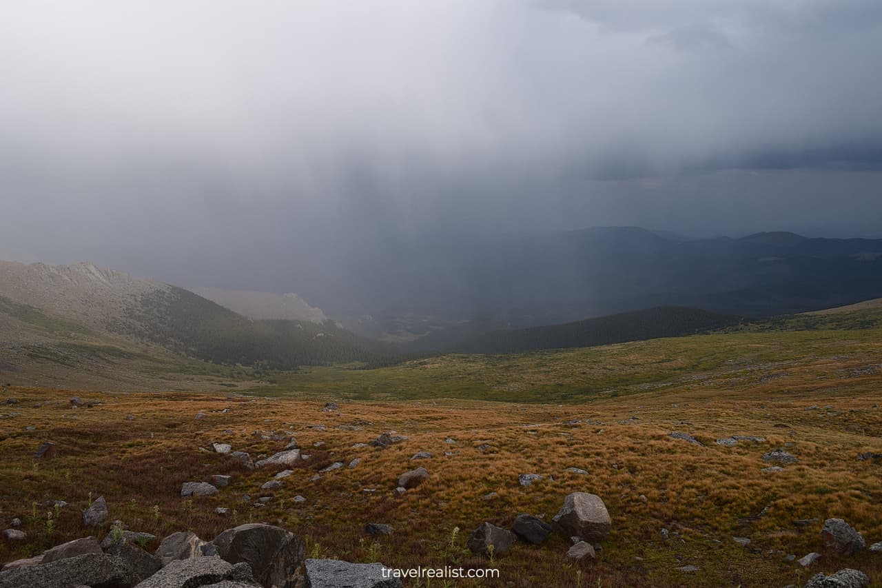
They would also give way to rocks over time. Rocks, snow, and ice will be the only things to see for miles near the summit.
3. Lincoln Lake
The Byway does not have any viewpoints between Mount Goliath and Summit Lake. One of the few pullouts is at the end of the M. Walter Pesman Trail.
You can drive this distance in 5 minutes. Or you could hike it in about an hour each way. The trail takes 2.3 miles (3.7 km) round trip with an elevation gain of 685 ft (209 m).
Hiking this trail is not the best idea if this is your first visit to Mount Evans. But many locals come to Mount Evans Scenic Byway to hike the M. Walter Pesman Trail.
This trail brings you from the mountain forest to Alpine meadows. It looks most like an area near Alpine Visitor Center in Rocky Mountain National Park.
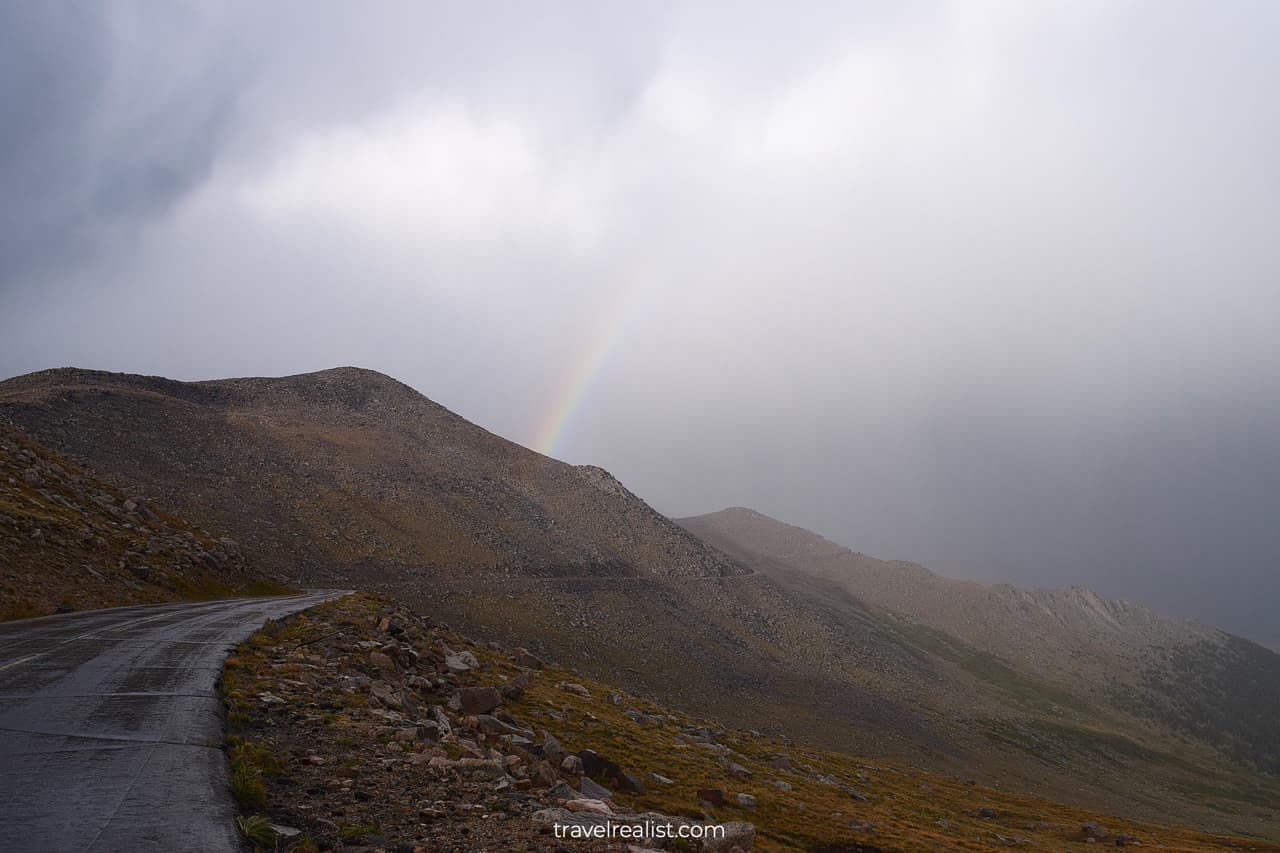
The lack of viewpoints does not mean subpar views. In fact, it will be just the opposite. You would want to stop at nearly every turn to capture the scenery. But you would need to know the limits of the Byway.
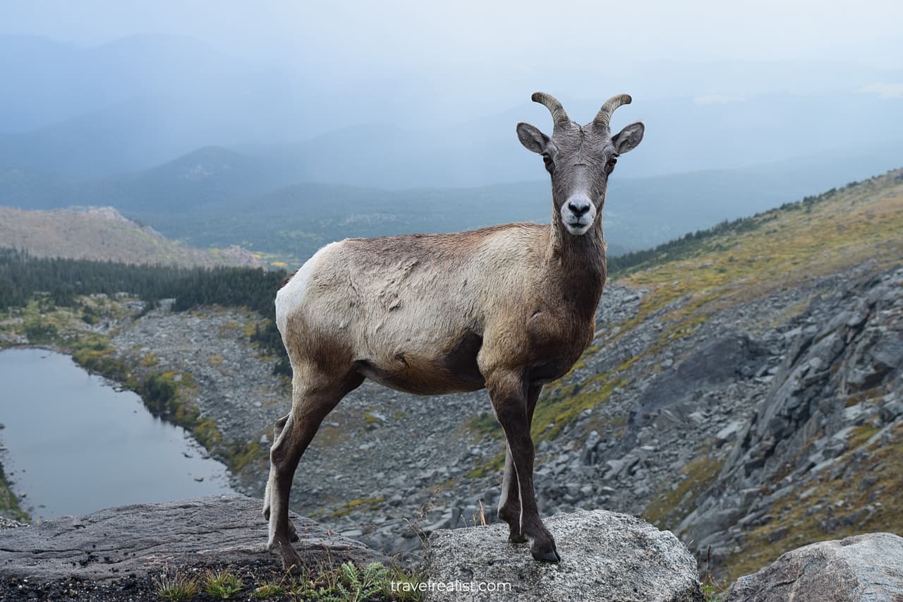
There is not even a pullout at Lincoln Lake. This lake is a great spot to enjoy rainbows and wildlife. You just need to be quick. A narrow road shoulder makes it dangerous for other cars to pass you.
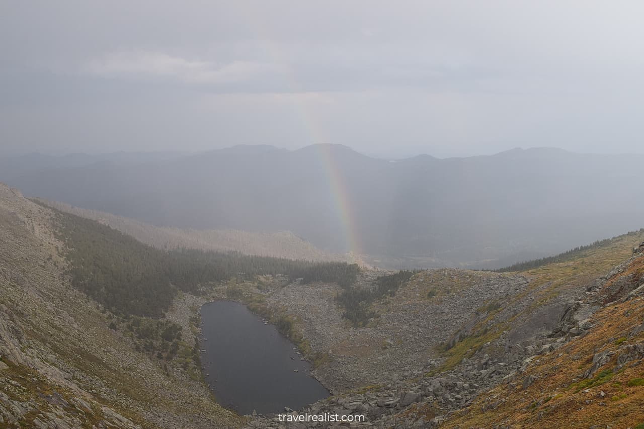
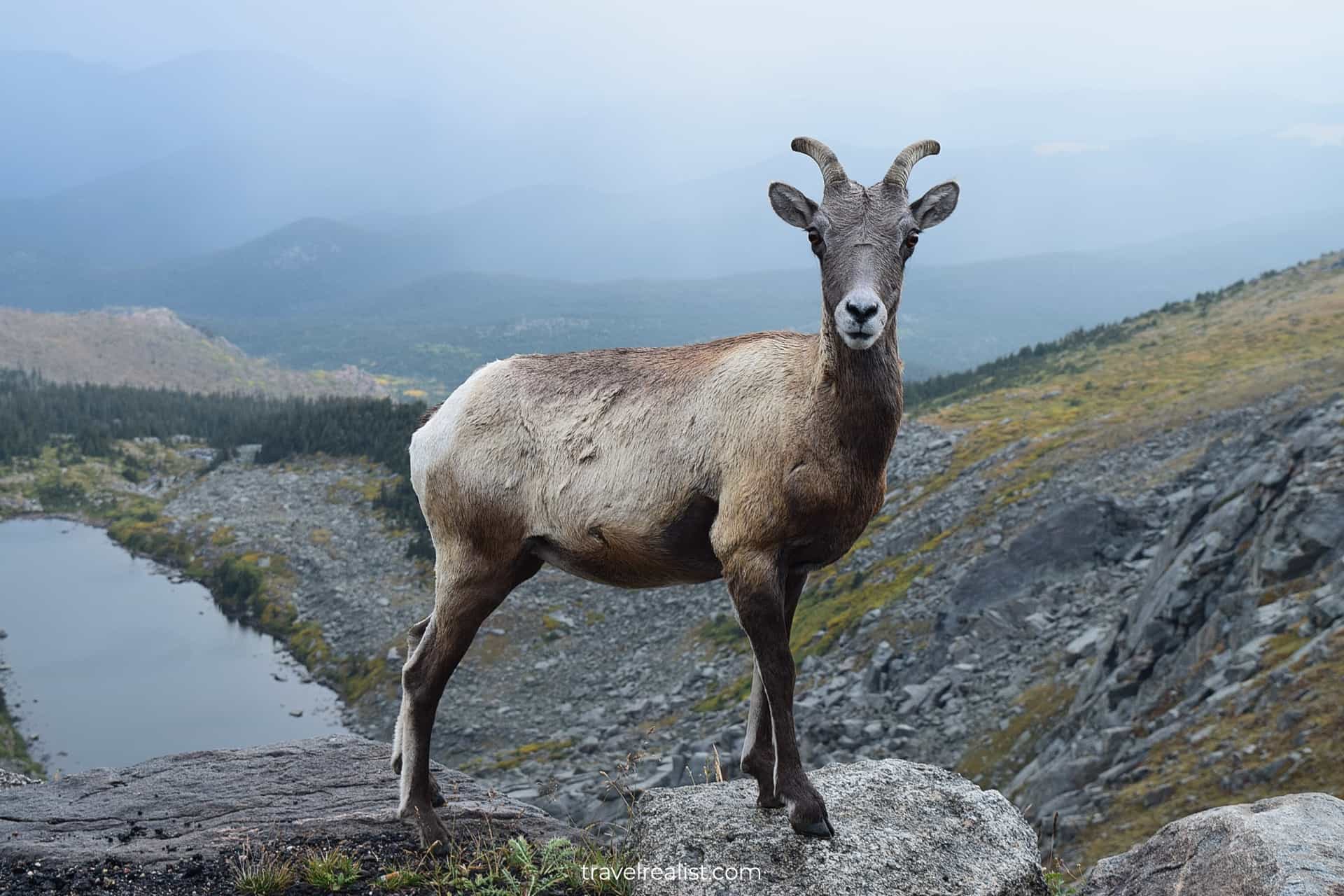
If you are lucky, you could view bighorn sheep or mountain goats near this lake. Be on the lookout for wildlife as you drive in this area of Mount Evans.
4. Summit Lake
You will reach Summit Lake in about ten minutes from Lincoln Lake. This time you will be able to stretch your legs at Summit Lake Park.
You might think that you have reached the summit of Mount Evans. But the name is misleading in this case. In fact, Summit Lake Park is the last stop before the Summit.
You will be near the summit at an elevation of 12,900 ft (3,932 m). But it will take you about 20 minutes to drive the last 5.4 miles (8.7 km) to the peak’s parking.
You would need to gain another 1,335 ft (407 m). A sizable elevation gain is one reason why the drive takes so long. 15 hairpin turns are another. Give way to cars driving downhill.
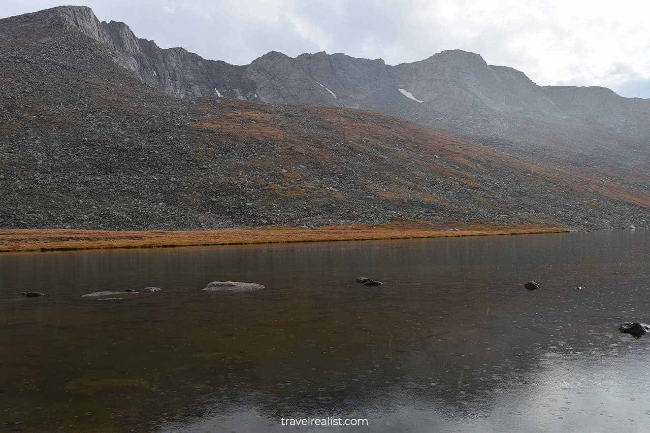
The Summit Lake will likely be your first proper stop since Mt. Goliath Natural Area. It is a good idea to explore this area more. There are two trails at this stop.
One trail is very short. It takes just 0.2 miles (0.3 km) round trip. You will get to the shores of Summit Lake.
The second trail is slightly longer. It brings you to the Chicago Lakes Lookout. This trail covers 0.5 miles (0.8 km) round trip. There is minimal elevation gain.
But hiking at 12,900 ft is not a walk in the park. You will likely feel the altitude. Take it easy while exploring Summit Lake.
Even if the altitude does not get to you, one thing will. You will certainly feel a large drop in temperatures. It will be cold and windy no matter when you visit Summit Lake Park.
Weather is the only counterargument for a longer hike in this area. But the scenery is worth getting out of the car for at least a quick photo.
5. Mount Evans Summit
Mount Evans Summit is the last stop on the Byway. You would need to hike the last 0.3 miles (0.5-km) to reach the Summit. You would have now reached the 14th highest fourteener in Colorado.
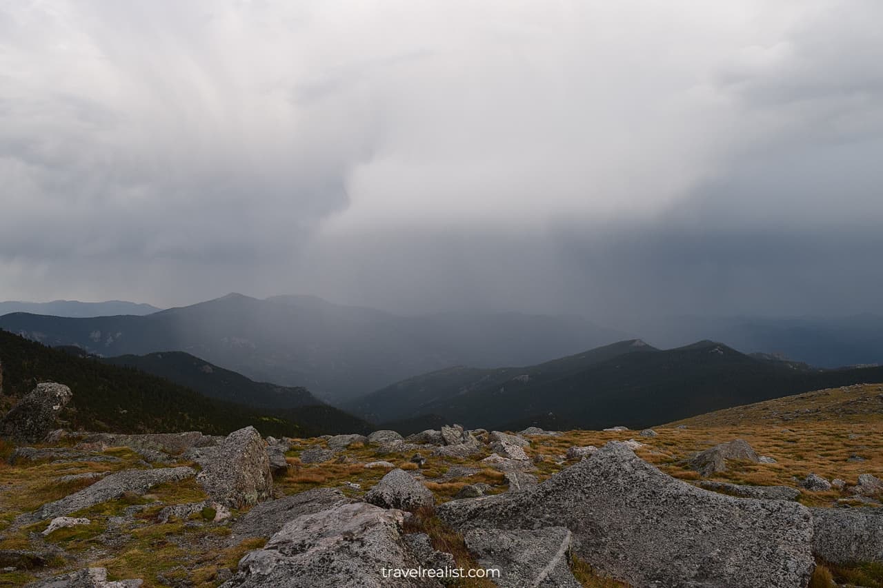
But this achievement comes at a price. The Summit will make you rethink your perceptions of weather. If you feel that the Summit Lake is unwelcoming, get ready for even harsher conditions.
- The temperature at the summit is often about 30 °F (15 °C) lower than at the entrance station.
- So if you start at 65 °F (18 °C), you can run into 35 °F (2 °C) at the Summit.
- But the real feel of the temperature will be even lower due to winds and precipitation.
- Winds will be strong. They could make it difficult to walk, stand, or talk.
- Rain or snow would complete the picture.
You should bring a windbreaker or a rainproof jacket. They will make your visit to Mount Evans a lot more enjoyable.
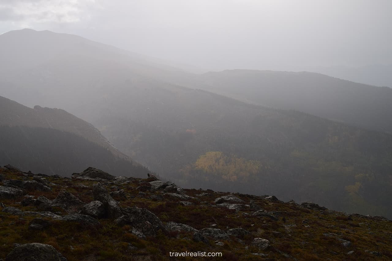
Take as much time as you can handle at the Summit. And get ready for the drive back.
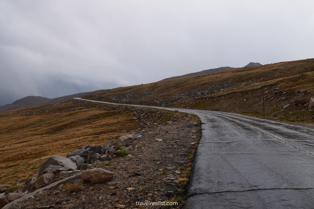
The return leg is not for the faint of heart. The road is narrow. And you will be driving right next to the cliff edge. The cars driving to the summit are in a better position.
Exercise extreme caution on the way back. And do not speed on this slippery road.
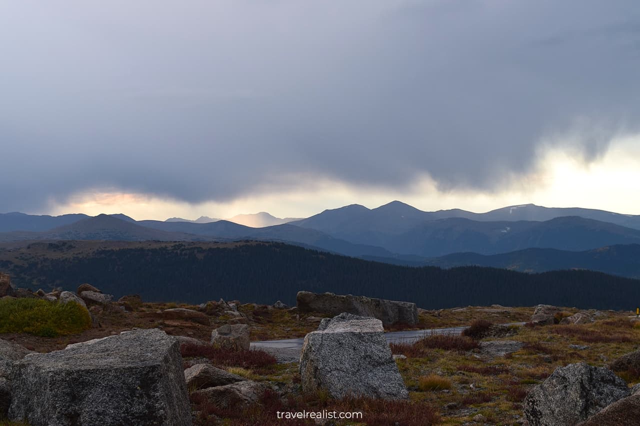
Continue with this Mount Evans Scenic Byway Guide. You will learn more about ways to get to the sights, entrance requirements, and places to stay.
Getting to Mount Evans
Mount Evans is a short drive from Denver. You can reach it in under two hours Colorado’s capital city and its sights. This location makes Mount Evans a great day trip.
If it is not obvious, you should fly to Denver Airport to visit Mount Evans from out of state. This is a airline hub. You can find cheap tickets to Denver from all over the United States.
The Scenic Byway is about two hours from Rocky Mountain National Park. It is also perfect addition to a long weekend in Denver.
Where to Stay near Mount Evans
There are a lot of places to stay near Mount Evans. But almost all of them require some driving.
If you approach Mount Evans from the east, look for affordable lodging in Lakewood or Denver. Denver Tech Center has plenty of places to stay that get you a good return on your spend.
If you are driving to Mount Evans from the west on the I-70, look into Silverthorne. This town is home to many great options.
Entrance Requirements & Passes
You can only reach the Summit between Memorial Day and Labor Day. The section of the Byway to Summit Lake is open for a few weeks after Labor Day. This makes summer the best and only time to visit Mount Evans.
Mount Evans charges differentiated admission fees. You will pay $15 per car if you would like to drive the highway all the way to the Summit. You can stop at any viewpoint with this ticket.
A $10 per car ticket will allow you to stop at Mount Goliath and Summit Lake. A $5 per car fee gets you to Summit Lake only.
Motorcyclists pay $3 or $6 depending on the number of passengers. The fee is the same regardless of your destination and stops. Lake Summit is the only exception with a fee of $5 per motorcycle.
This Scenic Byway is neither a National Park nor a Monument. But America the Beautiful annual pass gets you a free admission to Mount Evans.
The Byway’s popularity brought a few more requirements. You have to get a reservation in advance to drive the Byway.
Even if you have an annual pass, you have to pay a $2 reservation fee. This fee is nonrefundable if you cannot make it to Mount Evans.
Takeaways: Mount Evans Scenic Byway
Mount Evans is a unique way to explore the Colorado Rockies. You can drive on an paved road at an astonishing altitude, right below the clouds.
This scenic drive is well worth a three-hour round trip from Denver. Get an advance reservation and enjoy a beautiful drive.
You will get a chance to be on top of a fourteener without a long hike and climb. This experience is enough to go through the trouble of securing a reservation.
Take a look at this Mount Evans Scenic Byway Video Guide. And visit the YouTube channel for the latest videos.
Frequently Asked Questions
Mount Evans is the highest paved road in North America. It is one of the few Colorado fourteeners that you could reach in your car.
You can drive almost to the top of Mount Evans in your car. You need hike the last 0.3 miles from the parking lot to the summit.
You can only reach Mount Evans Summit between Memorial Day and Labor Day. Summit Lake remains opens for a few weeks after Labor Day. Exact dates depend on snow levels.
You cannot visit Mount Evans without a reservation. Get a reservation in advance to drive on this Scenic Byway.
Mount Evans Scenic Byway charges admission fees of $10 per vehicle. America the Beautiful annual pass covers this fee. There is also a $2 nonrefundable reservation fee.
You can reach the Summit of Mount Evans in an hour from Echo Lake. Viewpoints and trails will add more time.
Mount Evans and Pikes Peak are two scenic drives in Colorado. Mount Evans is about 150 feet higher than Pikes Peak. But Mount Evans Scenic Byway is only 25 feet higher.
Summer weekdays are the best times to drive on Mount Evans Scenic Byway. You can get a better weather and less crowds if you visit in the mornings.
Mount Evans Scenic Byway is 28 miles long.
Safe realist travels!


