The Scalp: A Hike to the Ancient Glacial Valley
Shankill to Scalp, Ireland Guide
Use our realistic Shankill to Scalp, Ireland Guide to plan your next day trip to this geological formation.
Shankill is a southern Dublin suburb that is home to several trails in the foothills. The Scalp, its most well-known formation, is an ancient narrow chasm.
This post includes affiliate links that will earn us commission if you make a purchase via these links.
Sights & Places of Interest
Inspired by the trail description with detailed map and picture markers, we hiked the Scalp Loop trail from Shankill. This hike covers about 8 miles (13 km). Its elevation gain is 1,613 ft (491 m). Google only provides an approximate route outline.
Our Shankill to Scalp, Ireland Guide follows our exploration path.
Shankill
Shankill is a peaceful suburb of Dublin, Ireland. Whenever one mentions Shankill in Ireland, one can never be certain about the reaction. It is easy to explain.
For most people Shankill is synonymous to the Shankill Road in Belfast, Northern Ireland. The Shankill in Belfast was in the epicenter of the Troubles. This conflict between the Irish Republican and Ulster Loyalist paramilitaries lasted nearly 40 years. And it brought multiple hostilities to the Shankill.
Compared to its well known homograph, Shankill in Dublin has far lower recognition. Most people have not even heard of it. And they are missing out: Shankill is a gateway to a day hike in the Irish woods.
Our hike started with a foggy city walk. Thanks to the sidewalks, we easily got through the first part of the route. But everything changed once we crossed the M11 Highway. The Lordello Road and Ferndale Road are narrow and lack sidewalks. With cars passing by you need to exercise additional caution.
Rathmichael Wood & Carrickgollogan Forest
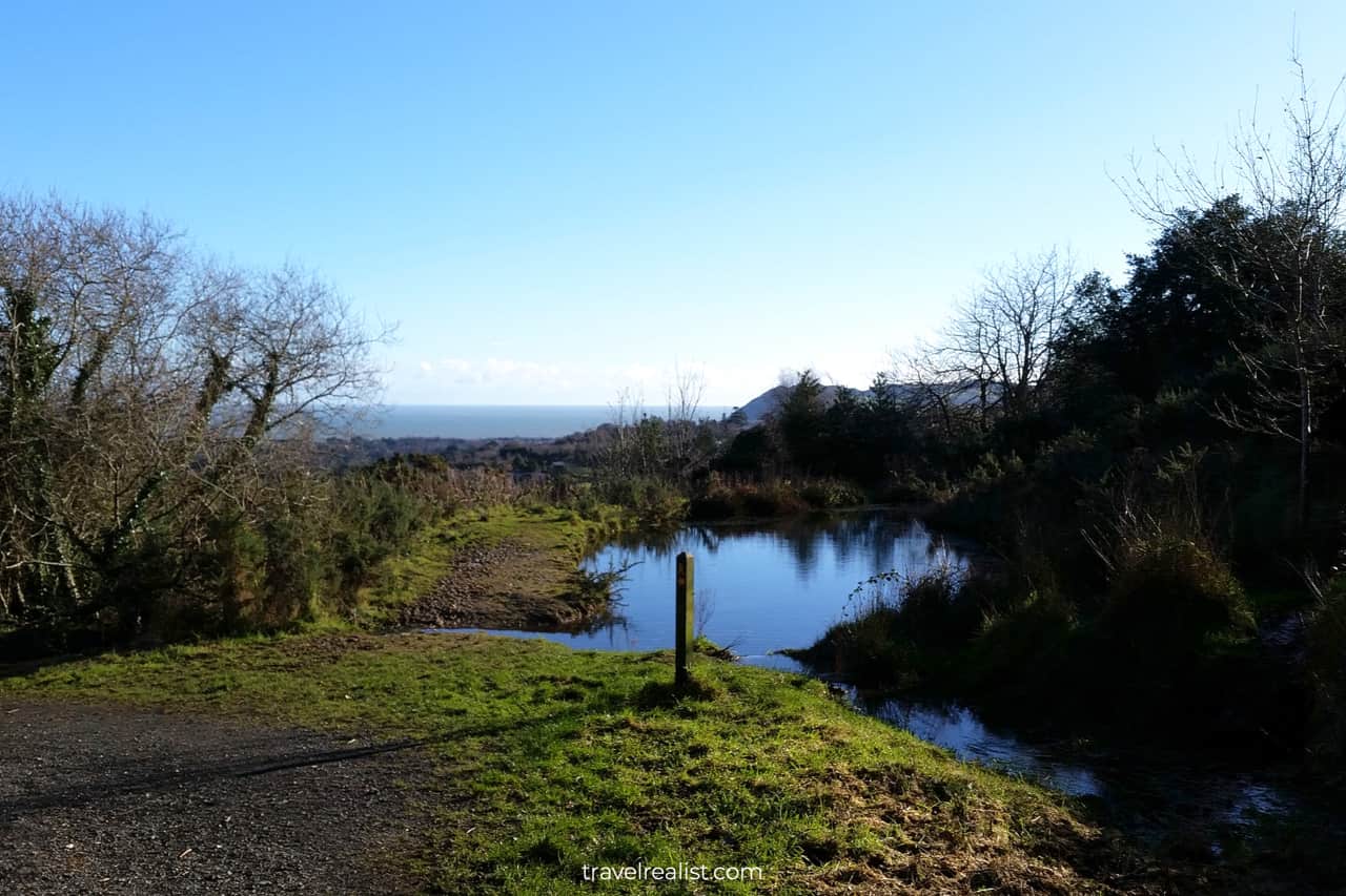
The hike became more pleasant once we entered the Rathmichael Wood and Carrickgollogan Forest. These forests are quite small. You can pass through each of them in minutes. But they provide some shade and rain cover.
Ballycorus Lead Mines Chimney
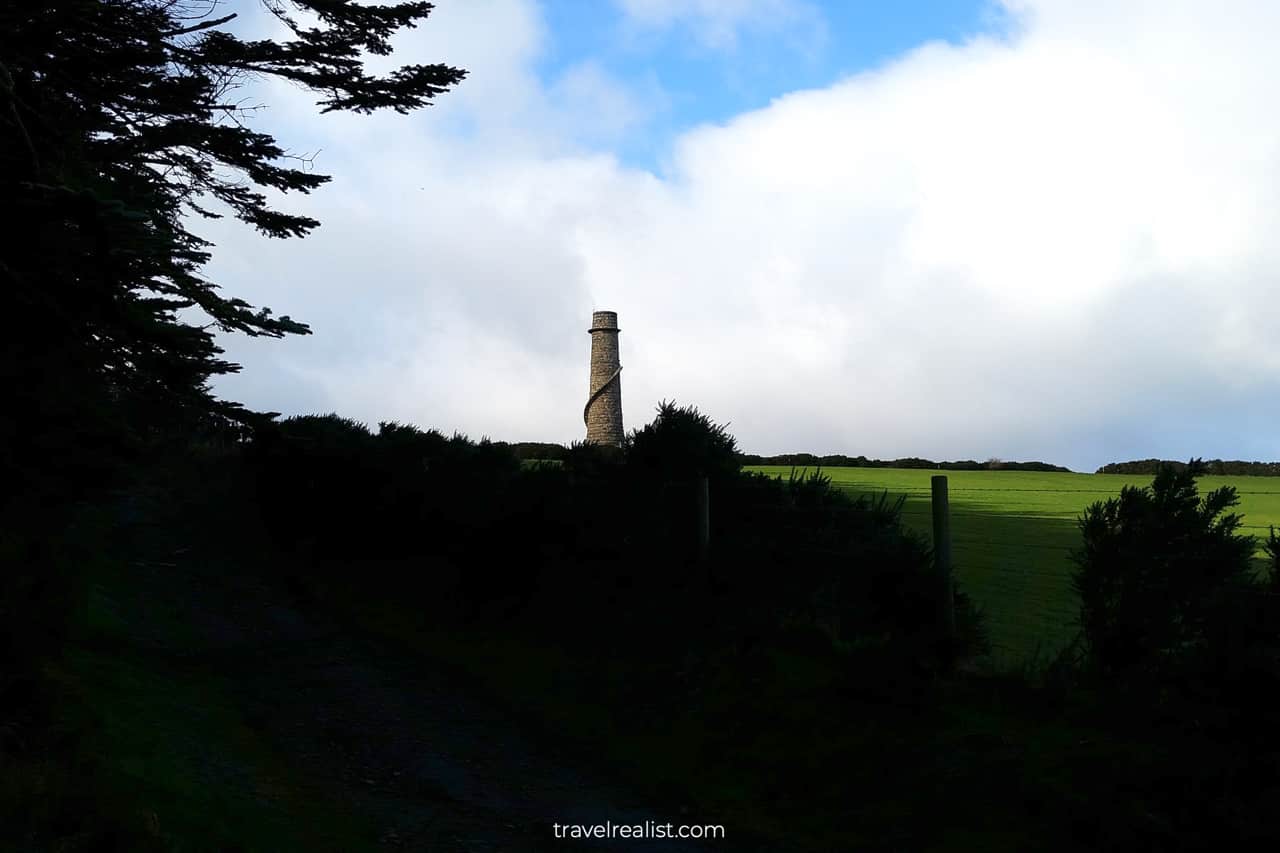
Soon we noticed the Ballycorus Lead Mines Chimney. As the name suggests, the chimney was part of the mining operations back in the 19th century. Nowadays, the structure is a historical landmark. We took some time to explore the tower up close.
Barnaslingan Forest
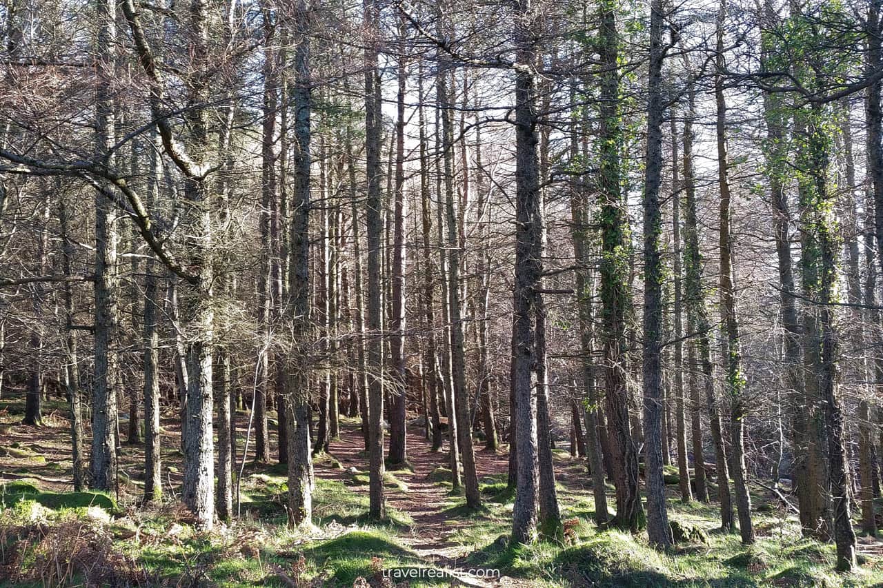
Another 0.4 miles (600 m) later we entered the Barnaslingan Forest. Compared to other forests on this hike, Barnaslingan Forest had more trees. It resembled hikes in Rocky Mountain National Park and Pacific Northwest.
Wicklow Mountains
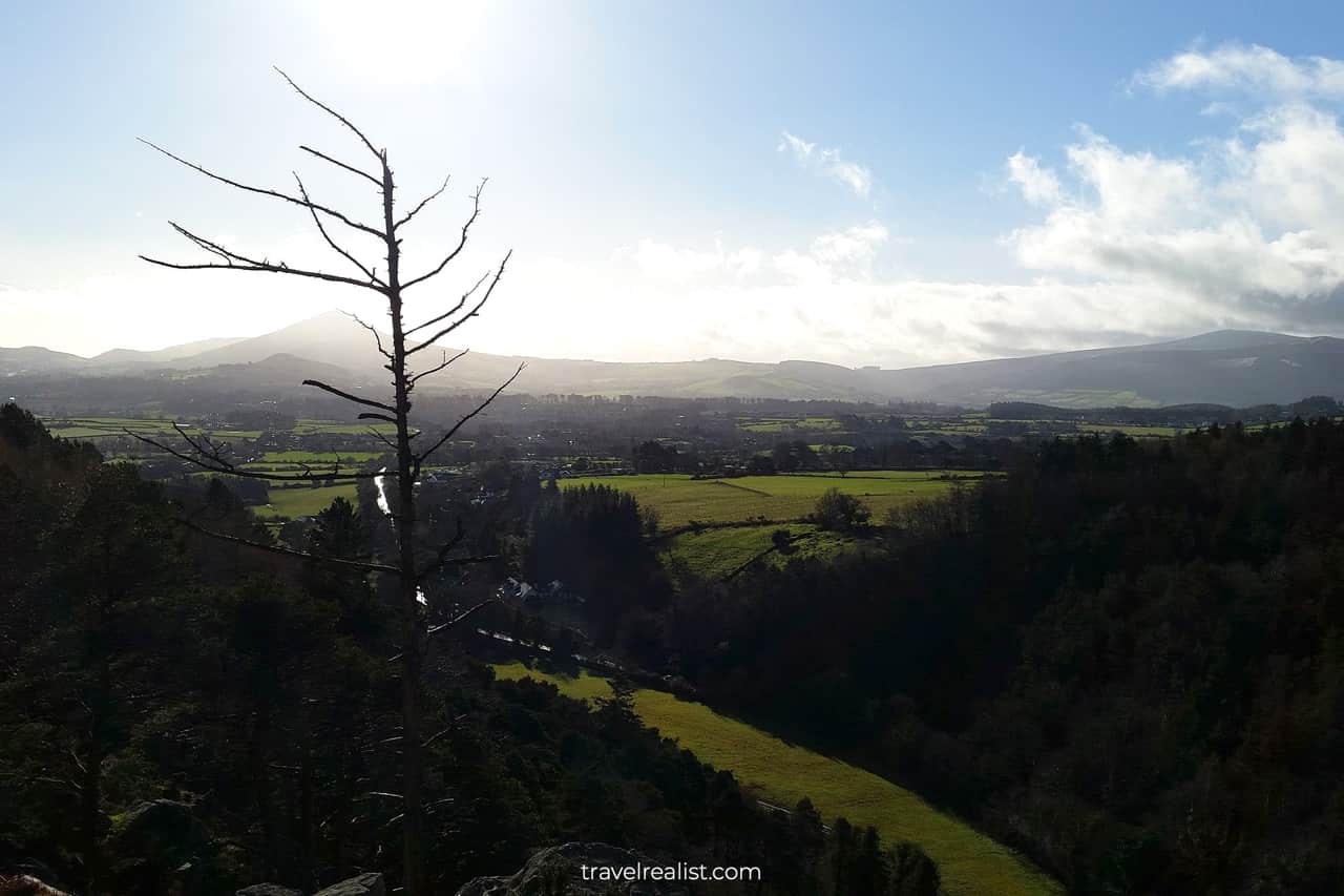
The forest trail brought us to the viewpoint. We were very lucky that the fog dissipated by the time we arrived. We could enjoy the great views of the Scalp and Wicklow Mountains in the distance.
The Scalp
The Scalp is a narrow valley formed during the Ice Age. Both sides of the Scalp have sharp drops and exposed boulders. You can see the geological forces at work at the Scalp. The Scalp Viewpoint marked the westernmost point on our hike.
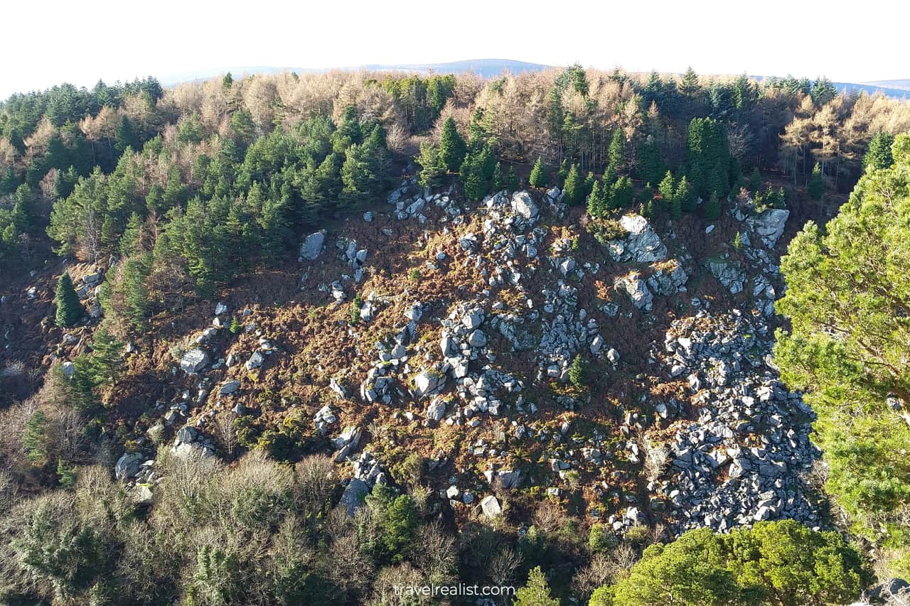
After a picnic stop while admiring the Scalp views, it was time to turn back. This time, we followed the Murphy’s Lane towards the Carrickgollogan Hill. The hill is 906 ft (276 m) tall.
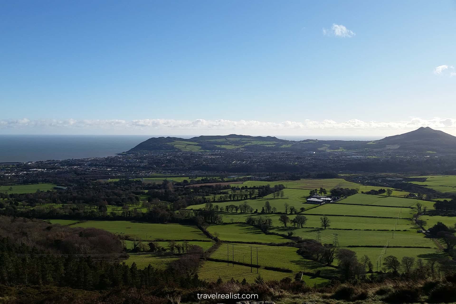
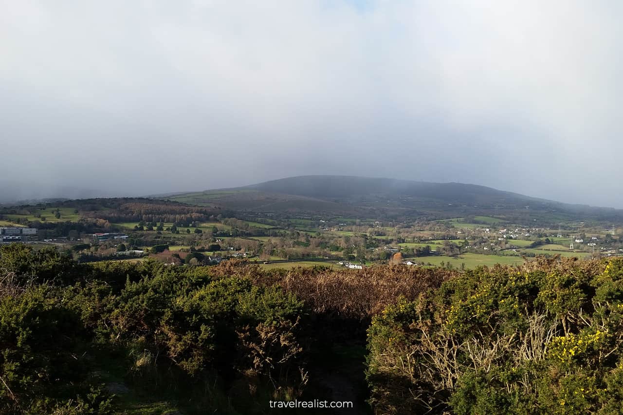
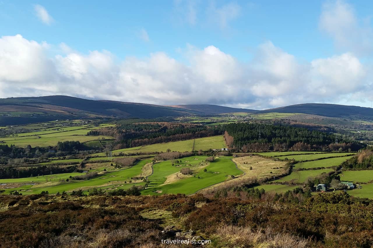
Its summit is a great spot for panoramic views of the Dublin Mountains, Bray and Killiney. Here is a look from the summit west towards the Barnaslingan Wood and Dublin Mountains.
Carrickgollogan Hill
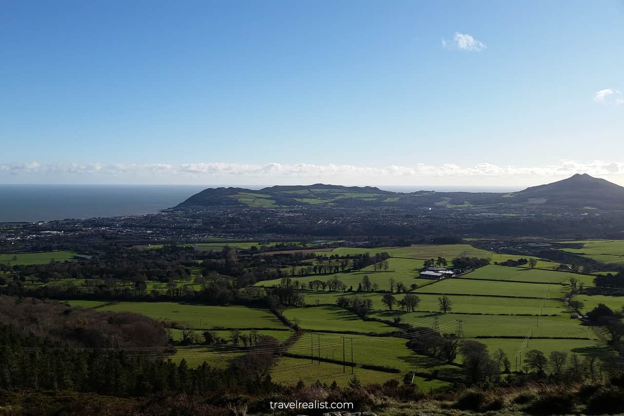
The views from the top of the Carrickgollogan Hill are breathtaking. You can expect to see lots of green fields and golf courses south of the hill. The town of Bray in County Wicklow, Bray Head, and Sugarloaf Mountain are also on full display.
Killiney and Howth
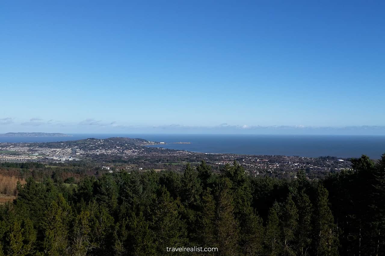
A view to the northeast revealed the seaside villages of Killiney and Howth. The Irish weather had another say on our route that day. While it was sunny, strong winds forced us to finish the summit exploration early.
The winds subsided as we returned to the main trail. But so did the views. We continued our hike through the Carrickgollogan Forest before rejoining the original path at the Rathmichael Wood.
Killiney Beach
Instead of finishing our hike in Shankill, we decided continue with the city walk to Killiney. During our exploration of Killiney, Dalkey, and Dún Laoghaire, we had to skip the beach.
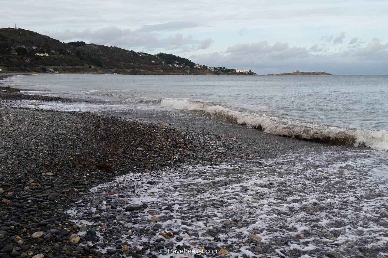
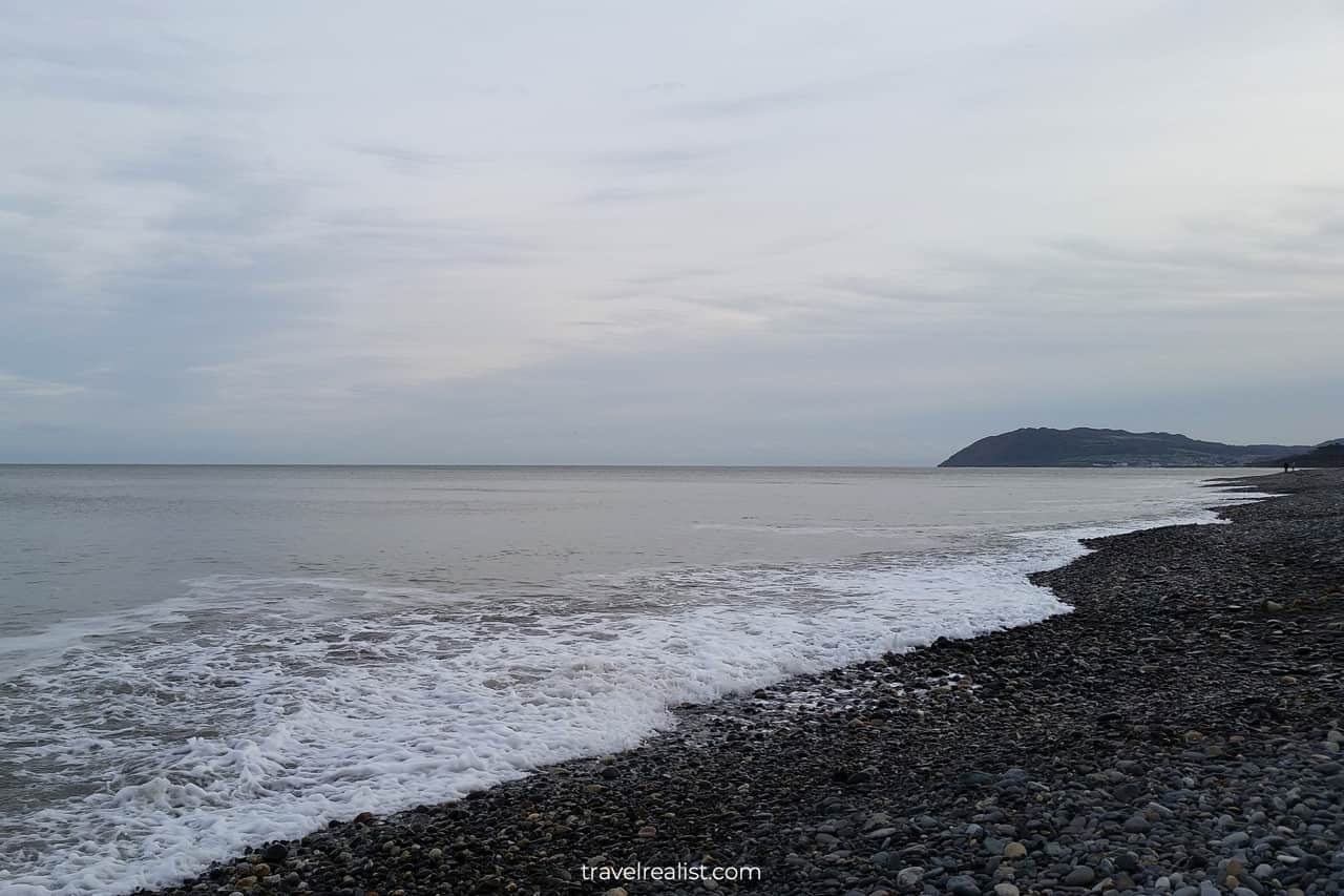
Today was the time to fill that gap. Killiney Beach is a narrow pebble beach, just behind the DART train line. But it provides amazing views.
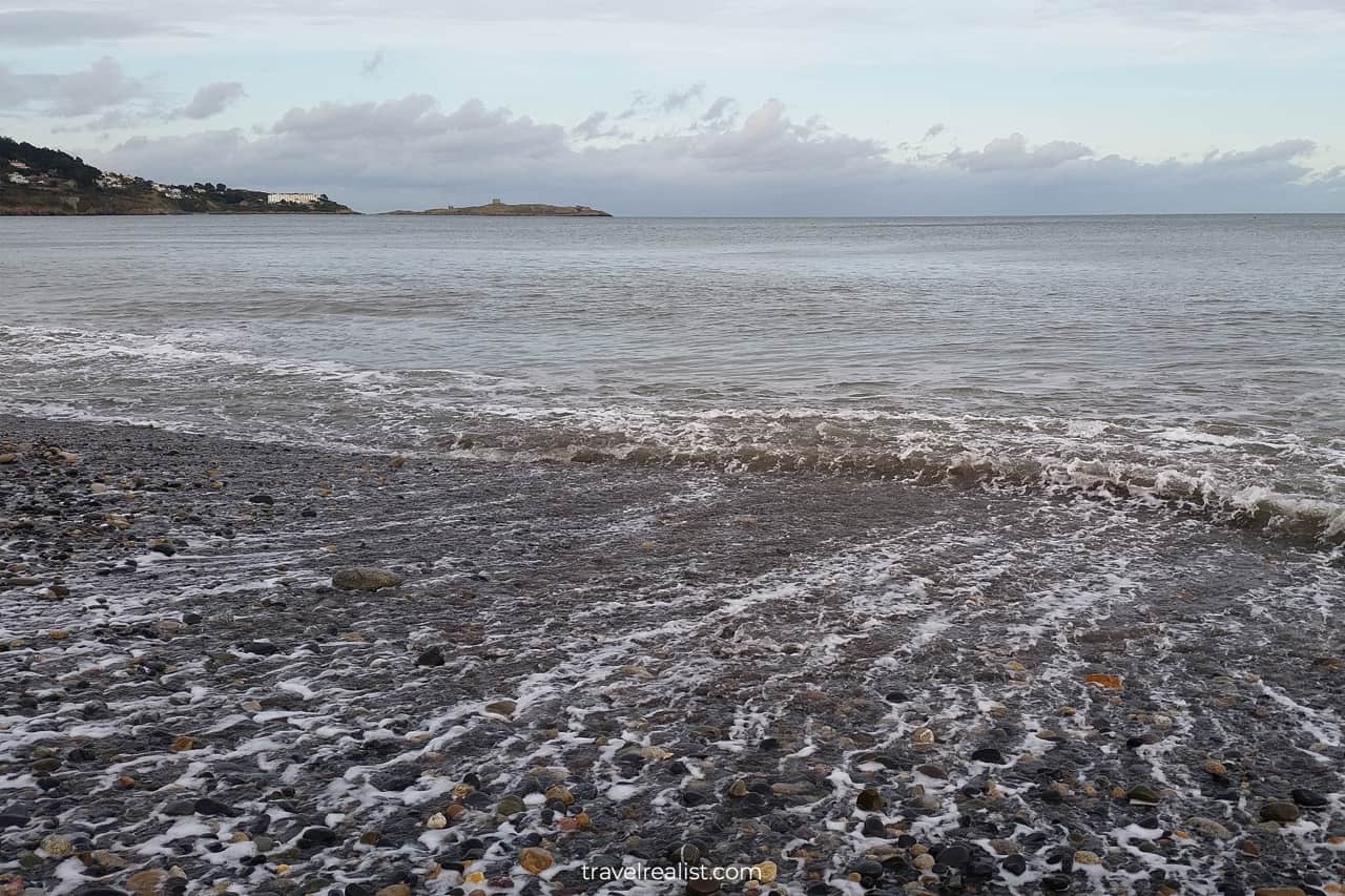
We could clearly see the Obelisk in Killiney Hill Park and Dalkey Island. The breaking waves of the Irish Sea marked a peaceful conclusion to our day hike to the Scalp. With the Killiney DART station nearby, we caught our train back to Dublin.
Continue with our Shankill to Scalp, Ireland Guide to learn more about ways to get to the sights, entrance requirements, and places to stay.
Getting to Scalp
There are several ways to the get to the Scalp from Dublin. Both public transport and a private car are viable options.
As usual, consider getting a Leap Card to save on every public transport ride. Fares are €2 each way for DART, Luas, or bus but are subject to change.
- DART: Shankill is third to last station of the southbound DART route. It takes about 40 minutes to reach Shankill from central Dublin. Budget another 30 minutes to walk to the forest trails.
- Luas: You can reach the Scalp Loop trail from Brides Glen, the southernmost Green line station. A tram ride to the station takes 50 minutes. It takes another 30 minutes to get to the trails.
- Bus: Dublin bus #145 could bring you to Shankill in about 45-60 minutes, depending on traffic. Budget about 20 minutes to reach the trails.
- Car Rental: spares you from walking on somewhat unsafe streets with no sidewalks. However, small car parks are the trade-off. You could try your luck parking at Rathmichael Wood Car Park or Carrickgollogan Car Park.
Where to Stay
There are just a couple of places to stay in relative vicinity of the Scalp. You could look into Bray properties for more options.
However, there are a lot more places to choose from in Dublin. Therefore, it is more likely that you will find a place that fits your budget and criteria in the city center.
Entrance Requirements & Passes
The Scalp Loop is a free hike. You can enjoy all of the sights and attractions along the way free of charge. You can enjoy the Scalp Loop during any time of the year.
Takeaways: Shankill to Scalp
Shankill to Scalp Loop is a moderate hike through the woods in the southeastern part of Dublin County. If you use public transport, the route consists of two parts.
The city part is quite comparable to the rest of Dublin day trips, like Malahide or Howth. But the forest part is fairly unique. The Scalp valley and Carrickgollogan Hill offer fantastic views on sunny days.
This hike might fail to make the cut if you only have a couple of days in the Dublin area. It takes nearly a full day to get to Shankill, complete the hike, and get back to Dublin.
There are lots of other easier-to-get-to day trip destinations around Dublin. However, if you embark on the Shankill to Scalp hike, follow detailed instructions and exercise extreme caution on Lordello and Ferndale roads.
Take a look at our Scenic Hikes around Dublin Video Guide and visit our YouTube channel for the latest videos.
Frequently Asked Questions
Shankill in County Dublin is located south of Dublin, near County Wicklow.
Shankill to Scalp is a moderate hike through the Irish woods. It covers about 8 miles (13 km) at an elevation gain of 1,613 ft (491 m).
There are several key milestones on the Scalp Loop trail:
– Three forests: Rathmichael, Carrickgollogan, and Barnaslingan Woods.
– Ballycorus Lead Mine Chimney.
– Scalp valley’s steep slopes and exposed stones.
– Carrickgollogan Hill with panoramic views of Howth, Killiney, Shankill, Bray, Wicklow, and Dublin Mountains.
Most trails at Carrickgollogan Wood and Barnaslingan Wood are moderate. Unless you have a car, budget for additional 2-3 miles (3-5 km) to get to the trails.
Safe realist travels!


