Ramapo Mountain State Forest: Hikes to Castle Ruins
This realistic Ramapo Mountain State Forest Hikes Guide helps you plan your next adventure in this scenic park.
Ramapo Mountain State Forest is a hilly forest in New Jersey that is also as a wildlife sanctuary. This park is a great place to reconnect with nature while exploring the early 20th century structures.
This post includes affiliate links that will earn us commission if you make a purchase via these links.
Sights & Places of Interest
Few people heard about Ramapo Mountain State Forest. It is not a national park, monument, or even a state park. There is little information on its operating hours, entrance requirements, and trails.
Still, you will not regret a decision to spend a few hours in this forest. Ramapo Mountain is a true hidden gem in Northern New Jersey. It has 30 miles (48 km) of well maintained hiking trails and bike routes.
You will find stone water towers and even castle ruins in Ramapo Mountain. This Ramapo Mountain State Forest Hikes Guide lists what you could see on its hiking trails.
1. Castle Loop Trail
You should take the Castle Loop Trail if you only have time for one hike in Ramapo Mountain State Forest. This trail brings to all of the main sights in this forest.
You will see Van Slyke Castle ruins, Ramapo Water Tower, and Ramapo Lake. Amazing views of the Wanaque Ridge and Wanaque River will round up your hike.
- Length: 3.1-mi (5-km) loop
- Trailhead(s): Ramapo Mountain State Forest Upper Lot
- Elevation gain: 462 ft (140 m)
- Difficulty: Moderate
- Marker: White
You could explore the Castle Loop Trail in any direction. This Ramapo Mountain State Forest Hikes Guide follows a counterclockwise hiking path.
1.1. Water Tower Viewpoint
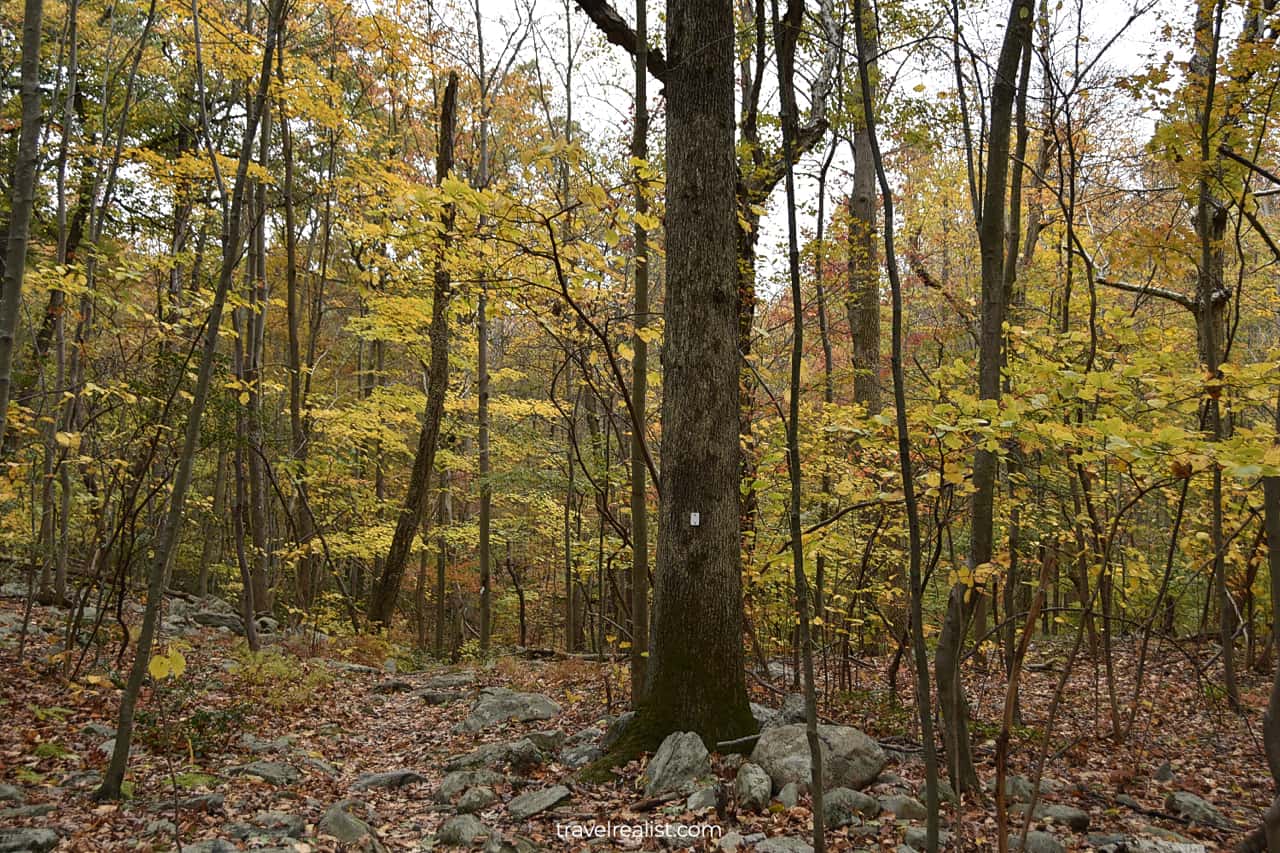
You could start your hiking adventure once you locate the white trail markers on the trees. The first section of the trail goes next to Skyline Drive.
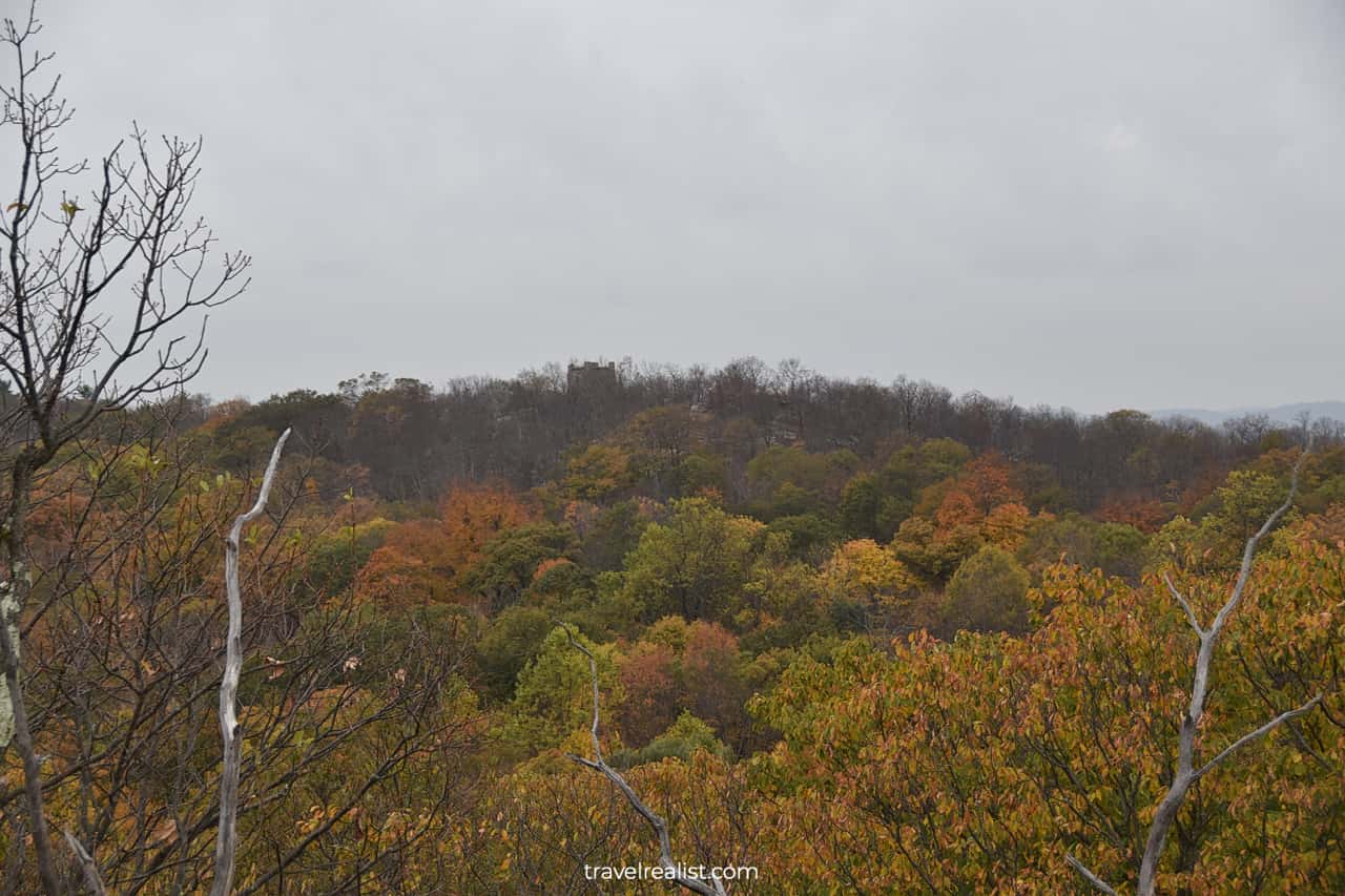
You will arrive at a viewpoint a few minutes into the trail. You might notice Ramapo Water Tower on a hill if you look close enough. It is one of your destinations on the Castle Loop Trail.
1.2. Deer Ledge Road
The trail goes downhill after the viewpoint. You will be hiking in a forest. The terrain will be quite rough and rocky terrain. As soon as you reach the end of the ascend, you would need to start hiking up.
This ascend is the most challenging part of the Castle Loop Trail. Most of the elevation gain takes place during this section of this Ramapo State Forest hike.
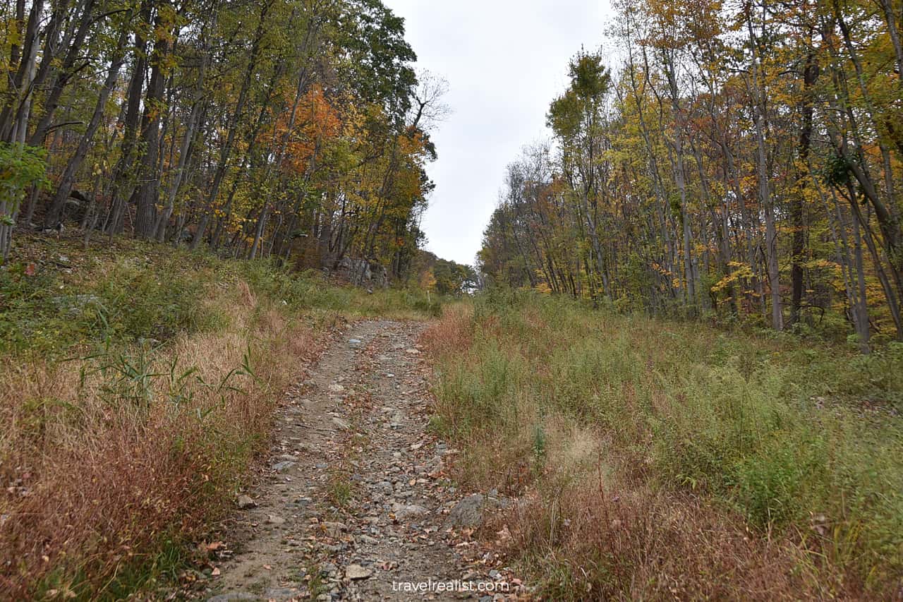
The Castle Loop Trail intersects Deer Ledge Road. This service roads connects Skyline Drive with the western boundary of the park.
The road makes it easier to navigate the uphill hike. You could take Deer Ledge Road all the way to the Wanaque Ridge Trail.
1.3. Wanaque Reservoir Viewpoint
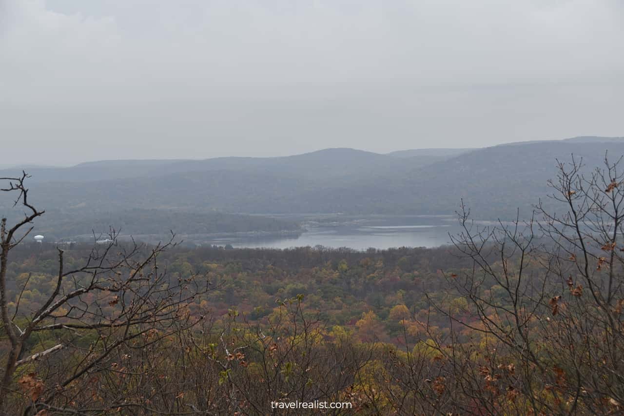
You will arrive at another viewpoint almost as soon as you reach the top of the hill. This vista also faces west, just like the first viewpoint on the trail.
You will get a clear view of the Wanaque Reservoir. It is a large human-made lake on the Wanaque River. The mountains surround the reservoir from nearly all sides. They house Wyanokie High Point hiking area.
1.4. Ramapo Water Tower Ruins
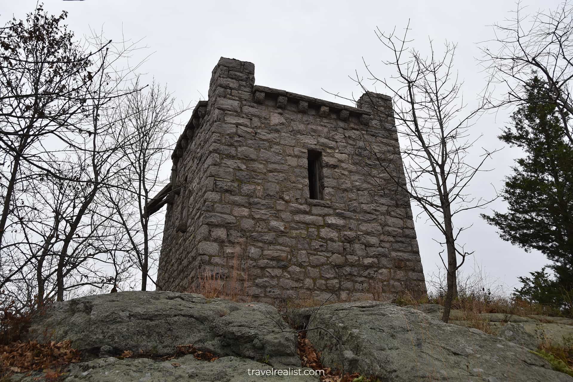
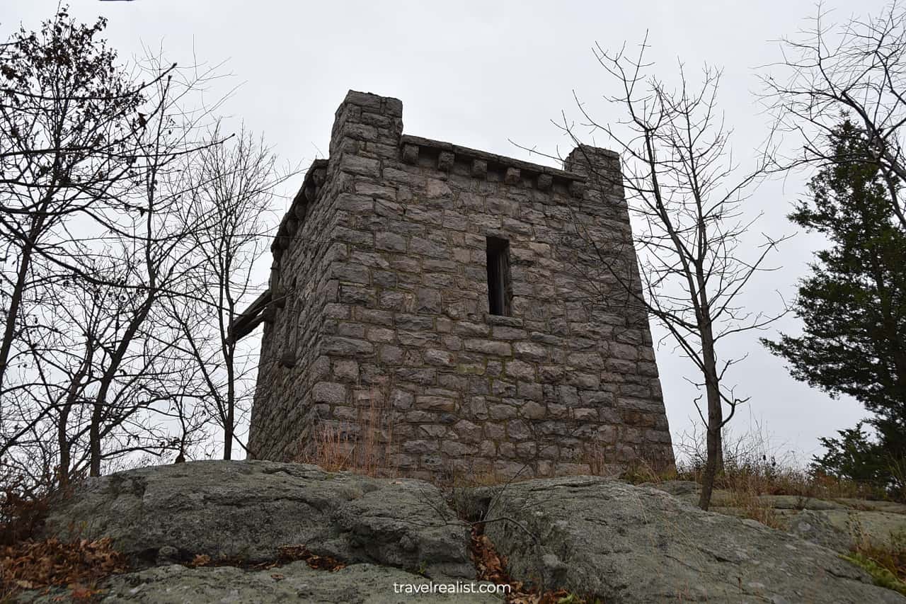
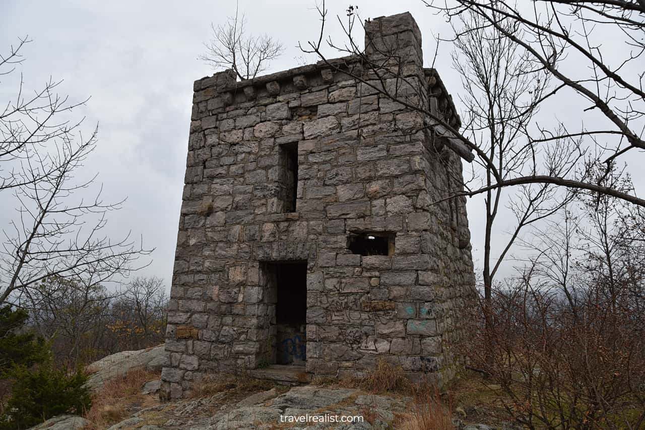
The Ramapo Water Tower is few hundred feet (meters) from the Wanaque Reservoir Viewpoint. It is an impressive stone structure.
This is probably the last thing you expected on a hike in a state forest. It is surreal to think that this water tower is in New Jersey and not in a castle in Ireland.
The exterior of the tower is in a good condition aside from a few graffitis. Sadly, the interior has been vandalized. You would not want to go inside this structure.
1.5. Manhattan Skyline Viewpoint
Once you are ready to continue on the Castle Loop Trail, you are in for even more surprises. But it will not be the castle ruins just yet.
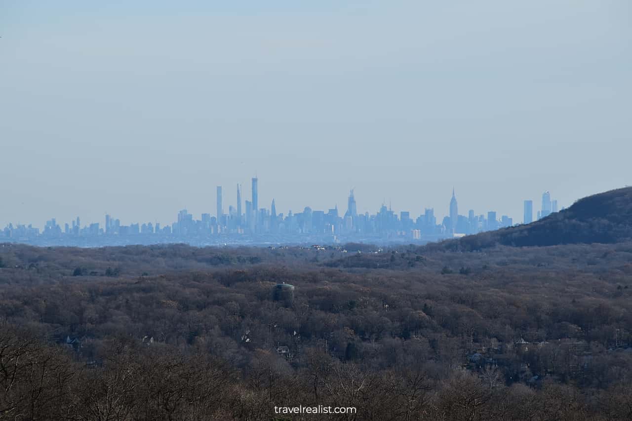
Instead, you could use the elevation gain of the trail to your advantage. The next viewpoint has clear views of the Midtown Manhattan skyline.
You could see the Empire State Building, Central Park Tower, 111 West 57 Street, One Vanderbilt, and 432 Park Avenue. 4 out of the tallest 5 buildings in NYC are visible from this viewpoint.
1.6. Van Slyke Castle Ruins
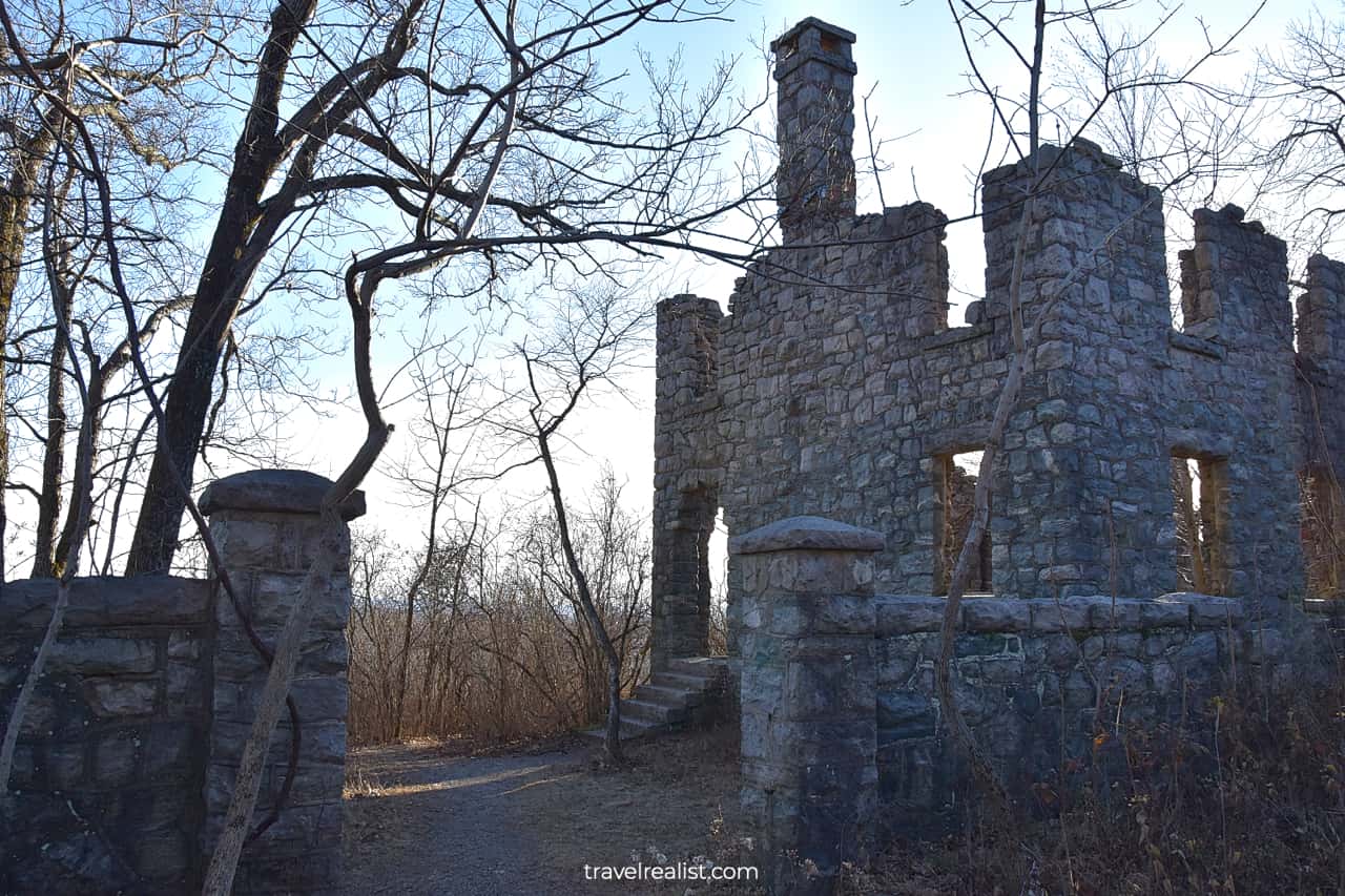
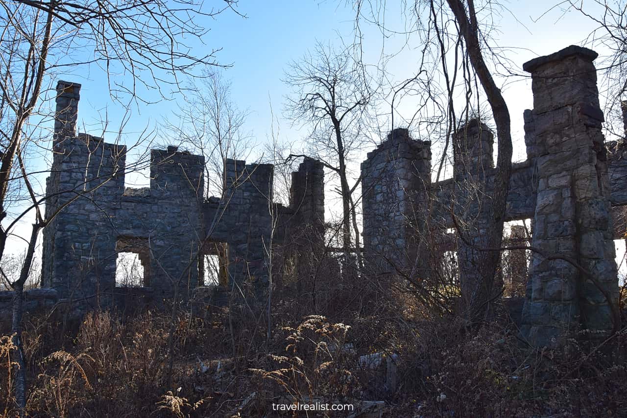
The Castle Loop Trail cannot stop surprising its hikers. You will arrive at the Van Slyke Castle ruins just moments after the Manhattan Skyline Viewpoint.
The Castle is a historic mansion on a hill. It was destroyed by fire and vandalized in the late 1950s. The castle ruins are in a worse shape than the nearby Water Tower.
Be careful when you wander around these ruins. Overgrown bushes attract snakes. Uneven surfaces and lose stones pose risks of ankle injury. Wear sturdy hiking boots to be on the safe side.
1.7. Ramapo Lake
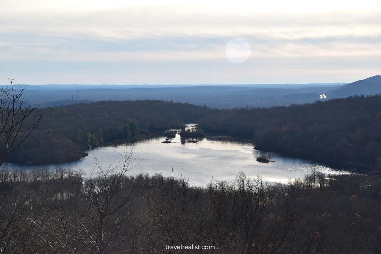
You will get a first look at Ramapo Lake after passing through the Van Slyke Castle gates. All islands will be on full display. This area looks just like Blue Ridge Parkway and Shenandoah National Park in Virginia.
The Castle Loop Trail will start to quickly loose elevation. You will reach the lake level in just 0.3 miles (0.5 km). The elevation change of this section is about 262 ft (80 m).
2. Ramapo Lake Loop Trail
The Castle Loop Trail joins the Ramapo Lake Loop Trail at the lake level. It could be a good idea to take at least part of this loop path.
There are two viewpoints on the Ramapo Lake Loop Trail. One is on the western shore of the lake. The other is almost directly opposite of it.
- Length: 2.6-mi (4.2-km) loop
- Trailhead(s): Ramapo Mountain State Forest Lower Lot
- Elevation gain: 33 ft (10 m)
- Difficulty: Easy
- Marker: Blue
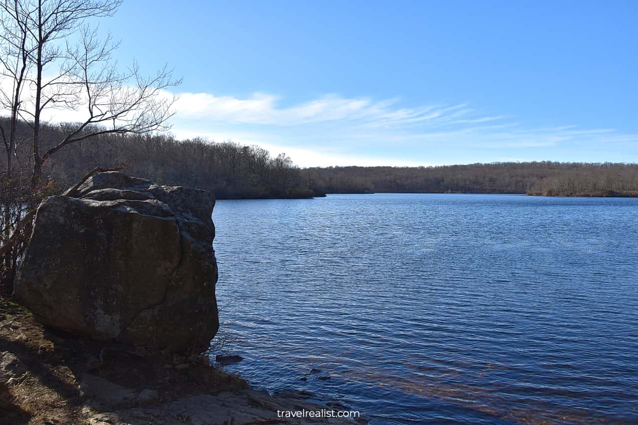
The Ramapo Lake Loop Trail is a great accessible trail. This wide paved path has little elevation gain. You could finish the entire loop in less than an hour at a leisurely pace.
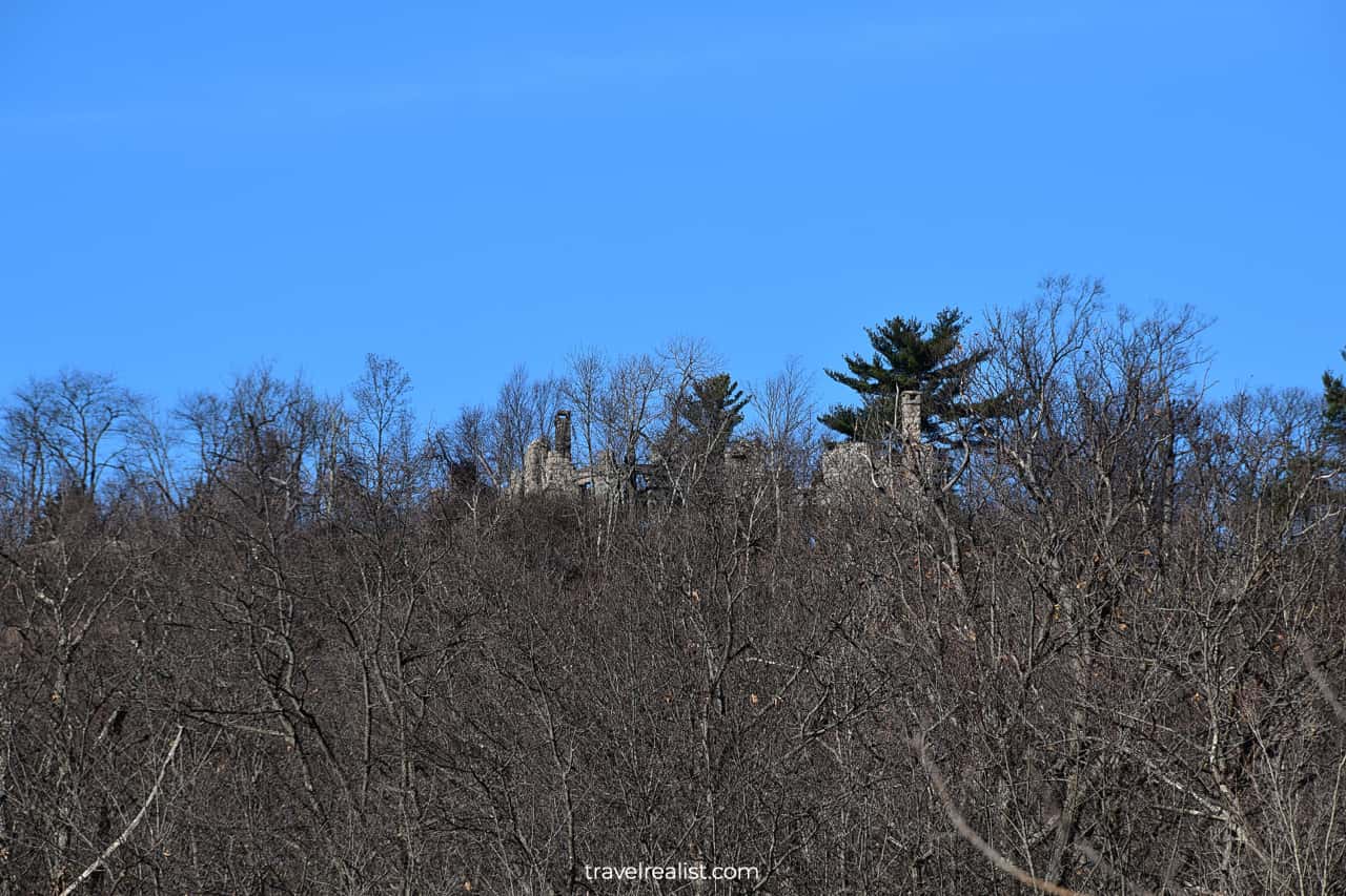
The viewpoints display boulder and islands. You could also catch a glimpse of the Van Slyke Castle ruins. But the view will be obstructed due to the trees. You might not even see the castle in the summer.
3. Wanaque Ridge Trail
If the Ramapo Lake Loop Trail is too easy for your liking, take the Wanaque Ridge Trail instead. This trail covers follows Ramapo Lake for a bit before going to the mountains.
- Length: 3-mi (5-km) loop
- Trailhead(s): Ramapo Mountain State Forest Lower Lot
- Elevation gain: 698 ft (213 m)
- Difficulty: Moderate
- Marker: Orange
The Wanaque Ridge Trail brings you a bit closer to the same name reservoir. There are two viewpoints on this trail. Both give you a different look at Van Slyke Castle and Water Tower.
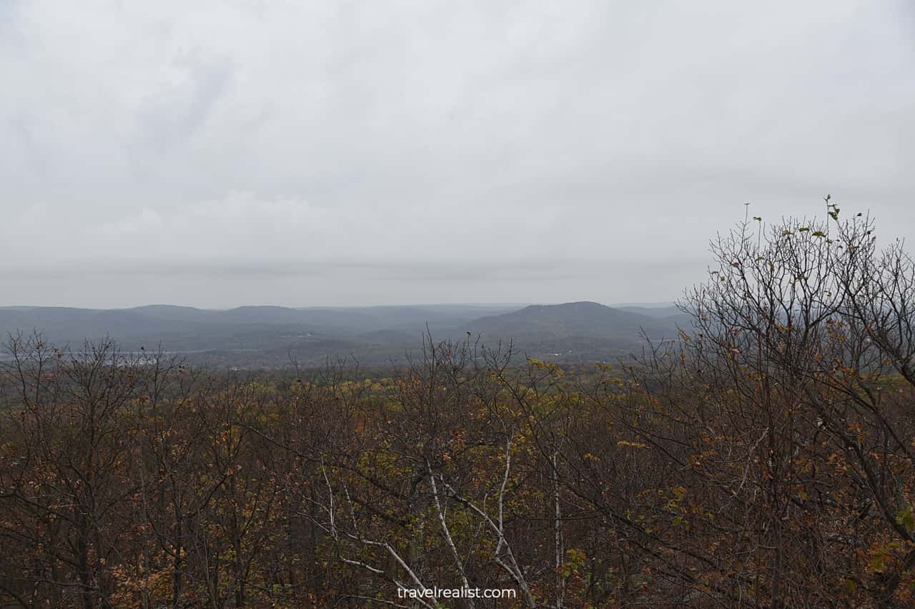
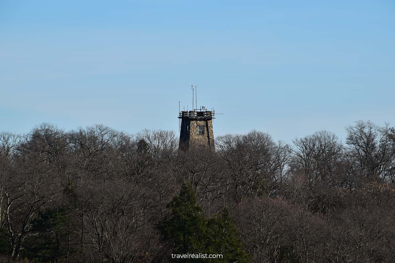
The viewpoints will also reveal another tower in Ramapo Mountain State Forest. This tower is on private property. The owners transformed it into a living space.
In a way, it might be a better setup than the vandalized Van Slyke Castle and Ramapo Water Tower. At least, this tower could live to see the light of day for longer.
4. Cannonball Trail
You will return to the southernmost point of Ramapo Lake when you complete the Wanaque Ridge Trail. This is another crossroads. You could take the Ramapo Lake Loop Trail around the lake.
But there is a better idea. Take the Cannonball Trail. It will is the fastest way to the Upper Parking Lot. You will cut through the state forest.
The Cannonball Trail is the longest trail in the park at 4.8 miles (7.7 km) each way. But you would only need to take part of this trail to the trailhead parking lot.
- Length: 2.5-mi (4-km) out-and-back path (each way)
- Trailhead(s): Ramapo Mountain State Forest Upper Lot
- Elevation gain: 328 ft (100 m)
- Difficulty: Moderate
- Marker: Red with a red dot
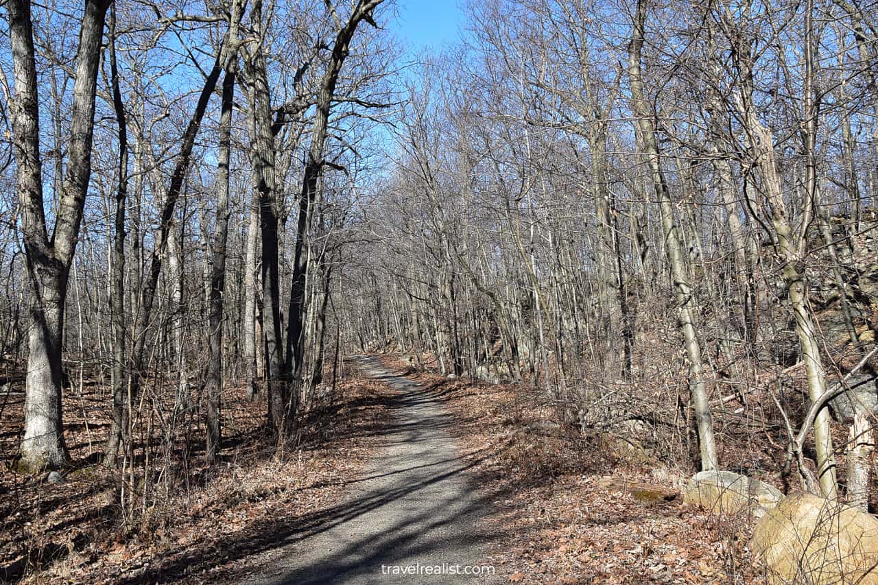
You will be gaining elevation as you are hiking from the lake to the Upper Parking Lot. But most of the Cannonball Trail looks like an unpaved country road.
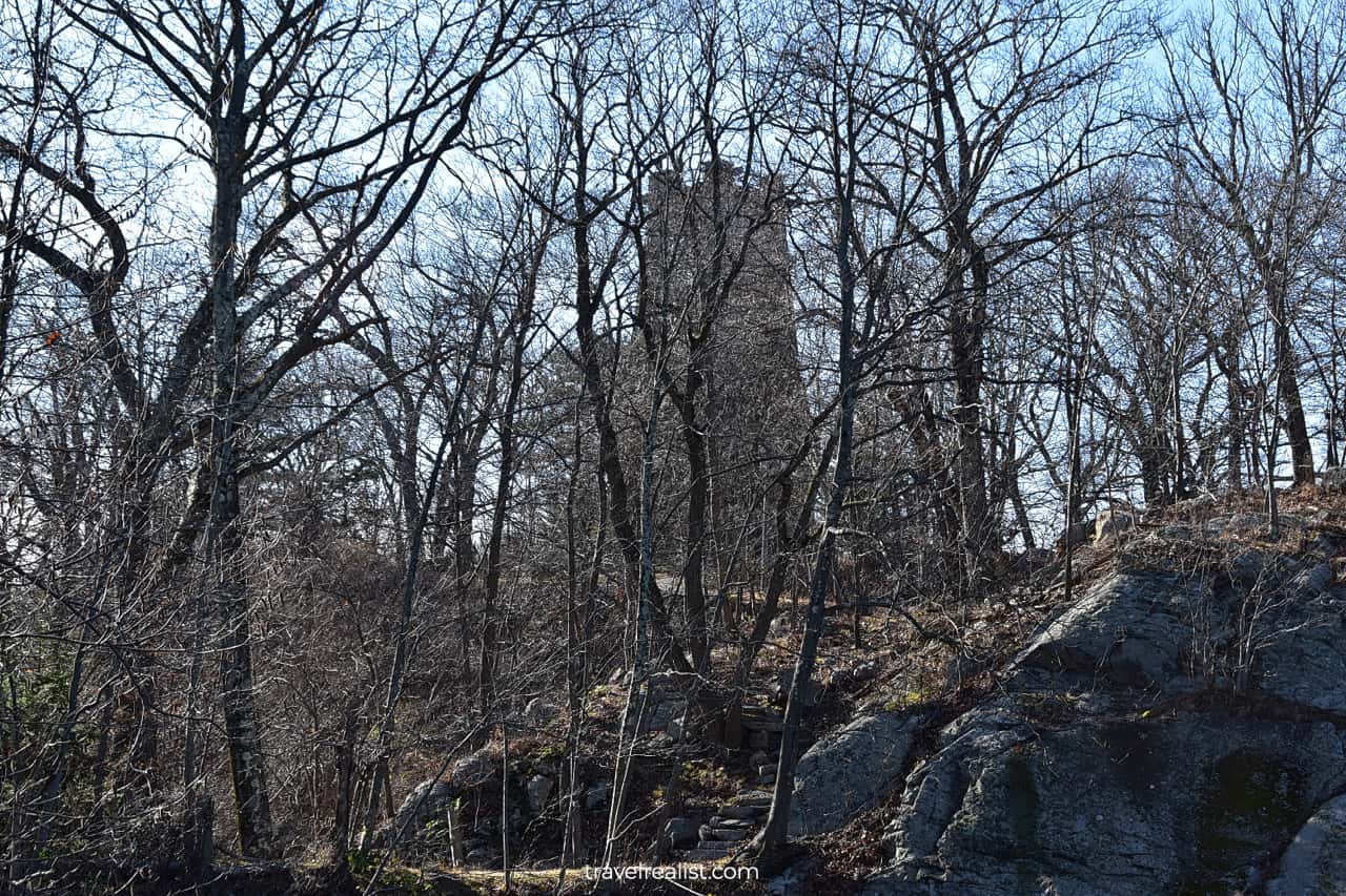
Remember the private tower you saw on the Wanaque Ridge Trail? You will be hiking quite close to it. You might even see its outline through the forest in the winter or late fall.
Yet, the return leg of the Castle Loop Trail could bring you even closer to this tower. But you will not be missing much since the area is fenced off.
5. Tamarack Loop Trail
There is one more trail to explore if you are feeling adventurous when you return to the parking lot. This is one of the shortest of the Ramapo Mountain State Forest Hikes.
- Length: 1.2-mi (2-km) loop path; another 0.6-mi (1-km) loop to Todd Hill
- Trailhead(s): Ramapo Mountain State Forest Upper Lot
- Elevation gain: 196 ft (60 m)
- Difficulty: Moderate
- Marker: Purple; green for Todd Loop Trail

The Tamarack Loop starts on the other side of Skyline Drive. It is not the most scenic trail in this forest. But it brings you to two lakes.
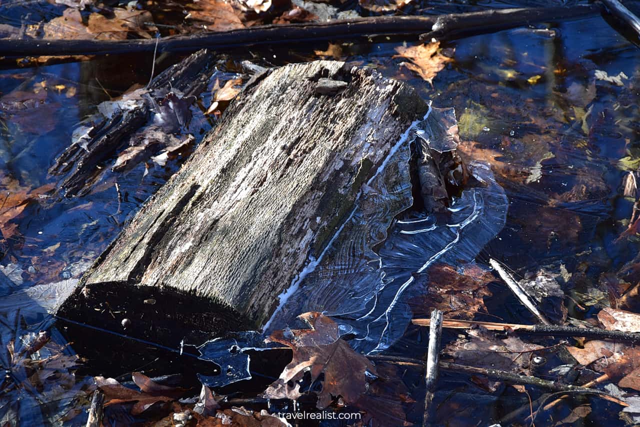
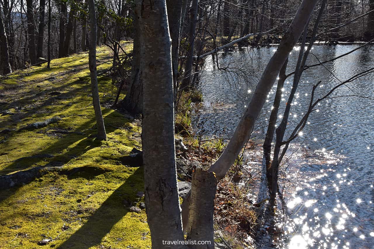
You could see the remnants of the former boy scout camps at Lake Tamarack and Todd Lake. The lakes might be partially frozen if you visit the forest in the winter. Enjoy the moss covered lakeshores.
You could head to the Todd Hill to a final viewpoint in the forest. This additional 0.6-mi loop should mark an end of a long day of hiking in Ramapo Mountain.
Continue with this Ramapo Mountain State Forest Hikes Guide. You will learn more about ways to get to the sights, entrance requirements, and places to stay.
Getting to Ramapo Mountain State Forest
Ramapo Mountain State Forest is in Northern New Jersey. The forest is in Wanaque, New Jersey on the way to Ringwood State Park and New York state line.
You could access Ramapo Mountain State Forest from Interstate Highway I-287 and Skyline Drive. There are two parking lots, lower and upper.
The main, Upper Trailhead Parking Lot is at 265 Skyline Dr, Oakland, NJ 07436. The Lower Parking Lot is a mile (1.6 km) closer to Interstate Highway.
Both parking lots are poorly marked. It is easy to miss them as you are driving on Skyline Drive. But there are no opportunities to make a u-turn for a few miles. It is better to be alert as you approach the forest.
You could easily reach Ramapo Mountain from NYC Area. Out-of-state visitors could use the area airports as a gateway to the state park.
Newark Liberty (EWR) airport is just 40 minutes from the trailhead parking. LaGuardia (LGA), John F. Kennedy (JFK), and New York Stewart (SWF) airports are all around an hour away.
You might find it difficult to reach the Ramapo Mountain hiking trails via public transport. But you could try boarding ShortLine Hudson Bus.
It brings you from Port Authority Bus Terminal in NYC to Rt 202 & Navajo Way stop. A bus ride is about 70 minutes long and $10.55 each way. You would need to walk to the trailhead for almost an hour.
A rental car helps you avoid taking the roads without walkways. You could also choose to visit Ringwood Manor up north or drive to Waterloo Village and Delaware Water Gap.
Where to Stay near Ramapo Mountain
A couple of places to stay are within a short drive from Ramapo Mountain. Holiday Inn Express Haskell-Wayne Area, an IHG Hotel is the closest hotel to the state forest. It is less than 10 minutes away.
Hilton Garden Inn Wayne is another solid choice. You could be hiking the trails in under 20 minutes from this property.
You would have to look for places to stay further away if these hotels do not work out. Hackensack, Mahwah, and Parsippany-Troy Hills have a lot of options. The same is true of Newark and West Orange.
You could also choose to stay in NYC if Ramapo Mountain is just a day trip on a longer itinerary. This way, you could visit Central Park, Lower Manhattan, and Statue of Liberty.
Keep in mind that the bridges and tunnels that connect Manhattan with New Jersey are all toll roads. You would have to pay an extra convenience fee for your car rental company to process these payments.
Entrance Requirements & Passes
Ramapo Mountain State Forest is open from dawn to dusk every day of the year. You could hike the trails in this state park free of charge.
Make sure you stay on the designated trails. Leave no trace as you take the Ramapo Mountain State Forest hikes.
Takeaways: Ramapo Mountain State Forest Hikes
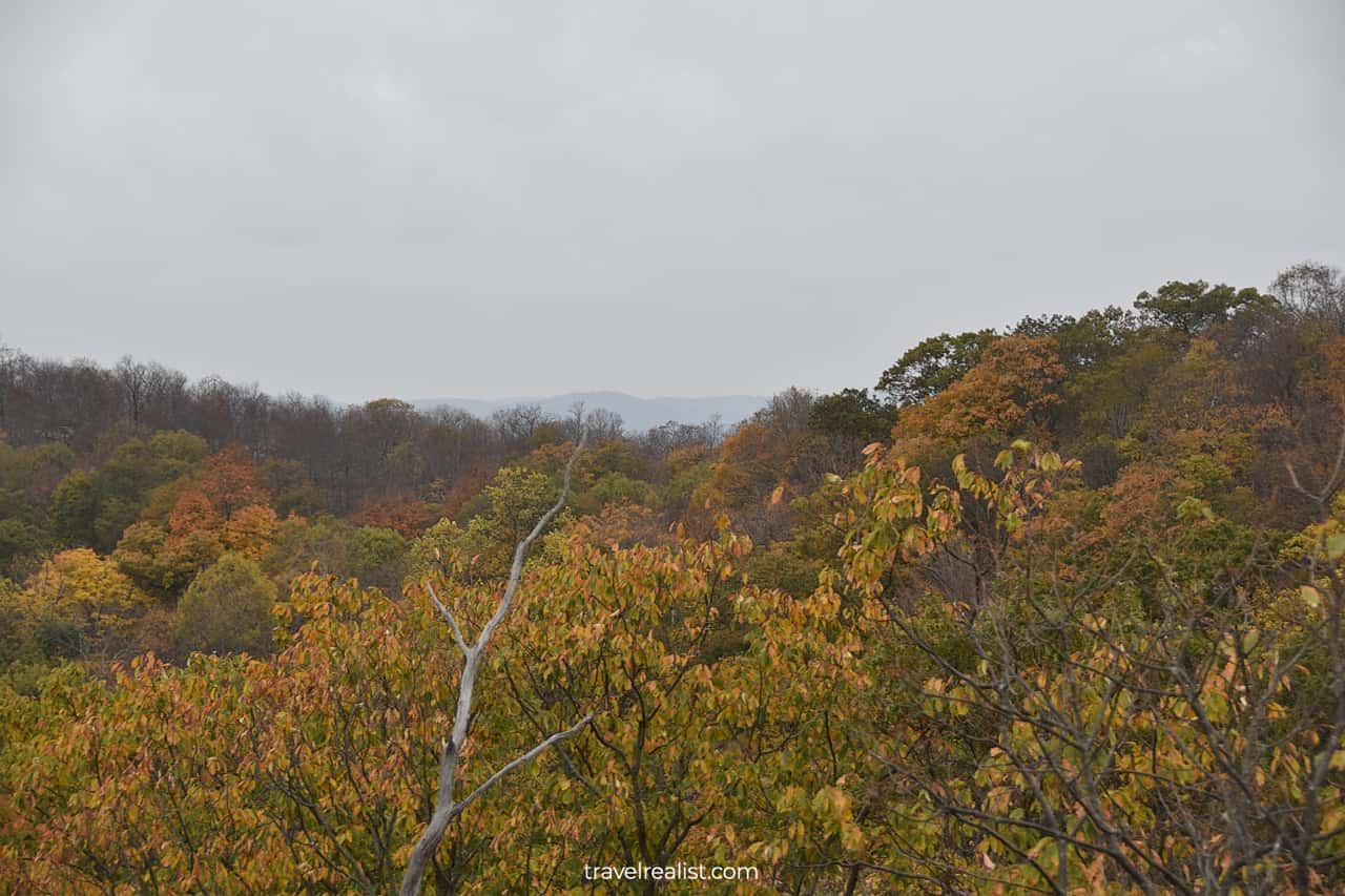
Ramapo Mountain State Forest is a great hiking destination for a day trip in New York City Area. Almost 30 miles (48 km) of trails give you plenty of options to explore the Northern New Jersey landscapes.
Ramapo Lake, Wanaque Reservoir, ridges, and valleys make your hike scenic. But the Water Tower and the Van Slyke Castle ruins ensure that it is both entertaining and memorable.
The ruins are in a far from perfect condition. They are covered in graffitis and garbage. This leaves a bitter aftertaste to a hike in Ramapo Mountain State Forest.
But this free forest has another surprise up its sleeve. You will get amazing views of Midtown Manhattan right from a forest viewpoint. It makes this destination well worth a visit.
Take a look at this Ramapo Mountain State Forest Video Guide. And visit the YouTube channel for the latest videos.
Frequently Asked Questions
Ramapo Mountain State Forest is in Northern New Jersey. The forest is just north of Interstate Highway I-287. Both trailhead parking lots are on Skyline Drive.
A drive on State Highways NJ-4 and NJ-208 is the fastest route to the park from the George Washington Bridge.
It is free to hike and bike in Ramapo Mountain State Forest.
There are 30 miles of hikes in Ramapo Mountain State Forest. The 3.1-mi Castle Loop Trail is the best hike in Ramapo Mountain.
This trail brings you to the Van Slyke Castle ruins and the Ramapo Water Tower. Amazing views of Ramapo Lake, Wanaque Reservoir, and Midtown Manhattan round up the list of attractions.
Ramapo Mountain State Forest is a great day trip destination for hikes near NYC. There are plenty of things to do:
– Explore the Ramapo Water Tower
– Walk among the Van Slyke Castle ruins
– See skyscrapers of Midtown Manhattan right from the state forest
– Admire Wanaque Reservoir and Ridge from a viewpoint
– Take a stroll around Ramapo Lake
Van Slyke Castle dates back to 1910. This mansion was built to look like a castle.
The Van Slyke Castle Trail, or Castle Loop Trail, is 3.1 miles long.
Van Slyke Castle is a former mansion in Wanaque, New Jersey. The mansion was vandalized in the 1950s and has been in ruins since. You could hike to the Van Slyke Castle ruins in Ramapo Mountain State Forest.
Safe realist travels!


