Sequoia Hiking Trails: Walk on Snow to The Largest Tree
This realistic Sequoia Hiking Trails Guide helps you plan your next adventure in the Sierra Nevada Mountains.
Sequoia National Park is a world famous park in California. It is not a coincidence that the park bears the name of the largest trees in the world. This park is one of the few places you could still see live sequoias.
This post includes affiliate links that will earn us commission if you make a purchase via these links.
Sights & Places of Interest
Almost everyone comes to Sequoia National Park to see the giant trees. But few people realize that Sequoia offers you a lot more than beautiful groves.
To begin with, there are two national parks in this region. You could visit them at a price of one. Sequoia National Park, Kings Canyon National Park, and Sequoia National Forest make up a large protected area.
It looks like a patchwork quilt on a map, much like Redwood National and State Parks in Northern California. Large parts of the park have almost no sequoia trees.
These trees grow in a few groves. The rest of the parks and national forest protects meadows, foothills, canyons, and mountains. This diverse landscape offers you various hiking trails.
1. Foothills
Foothills are the first thing Sequoia visitors see in the park. This area is right to the Kaweah River and the town of Three Rivers. There are no sequoia trees at Foothills.
The Foothills Visitor Center does not have many trails either. It just marks a start of a long ascend to the Sierra Nevada mountains. The Generals Highway is a 32.5-mi (52-km) road through the park.
Most of the Foothills hiking trails are long and near Potwisha, Buckeye Flat, and South Fork Campgrounds. The first two campgrounds are on the Generals Highway. But South Fork is further away.
You need to exit the park, return to Three Rivers, and drive on an unpaved road to reach South Fork. This requires a lot of dedication just to hike the Lady Bug and Garfield Grove Trails.
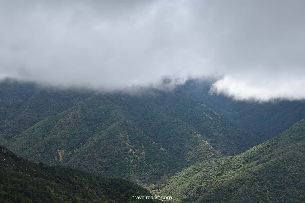
If this is not your cup of tea, you could still enjoy the views of the Foothills. Just keep driving on the Generals Highway. As you climb up the mountain, you might get lucky and see clouds over the Foothills.
2. Potwisha: Marble Falls Trail
Potwisha is the next stop on the Generals Highway after the Foothills Visitor Center. You would have already gained 364 ft (111 m) over 2.8 miles (4.5 km).
But you would still be in the Foothills area. Potwisha is the start of the Marble Falls trail. This 6.3-mi (10-km) out-and-back trail involves 1,499 ft (457 m) in elevation gain.
This waterfall has a series of cascades. They are quite nice. But you might not want to spend over 2.5 hours hiking on a trail that has no sequoias.
3. Giant Forest
In this case, you should keep driving on the Generals Highway. The highway will continue gaining elevation. Get ready for countless hairpin turns.
The section between Potwisha and Giant Forest is just under 13 miles (21 km). But it involves 4,350 ft (1,326 m) in elevation gain. You would need almost 40 minutes to cover this distance.
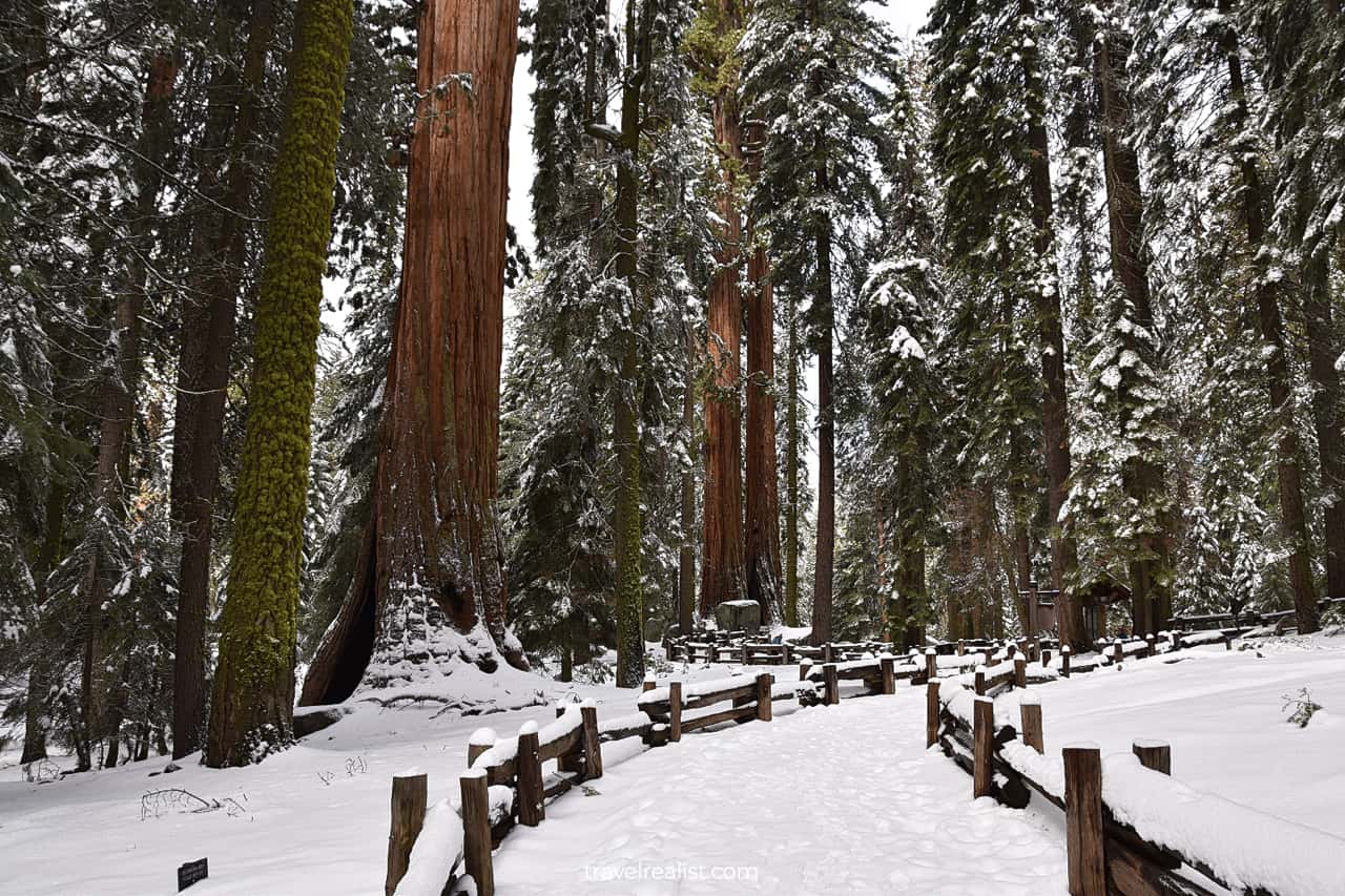
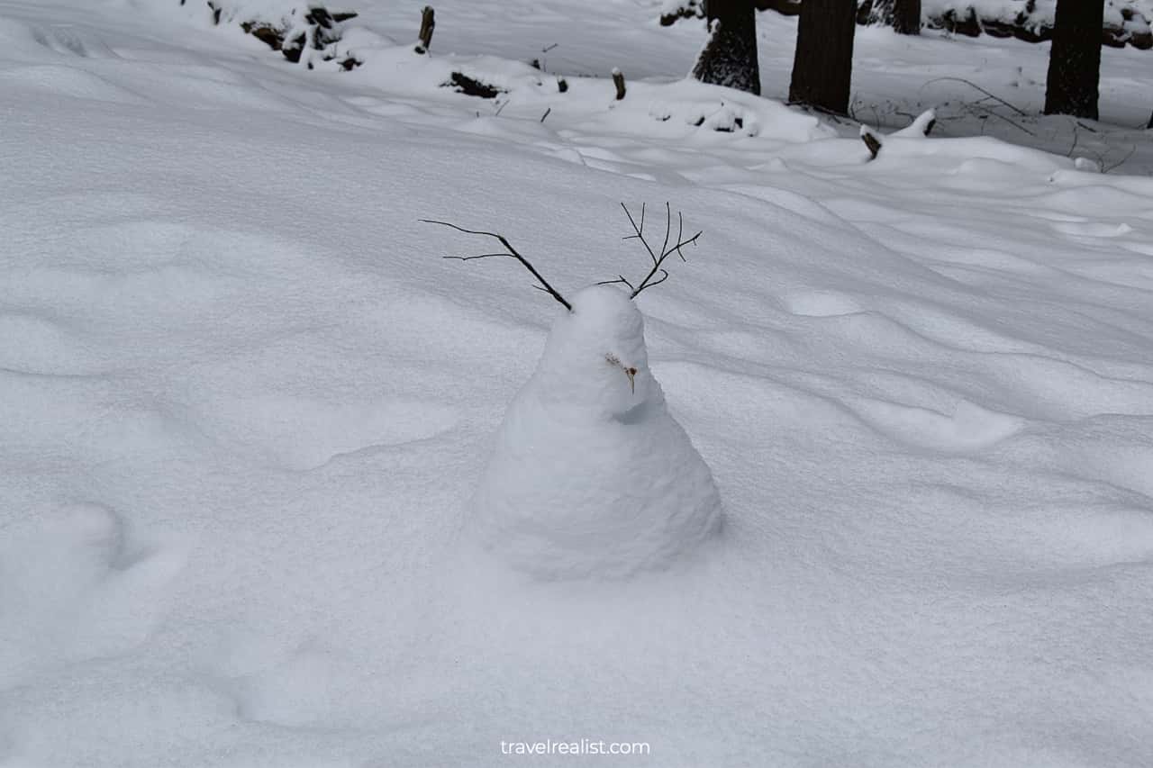
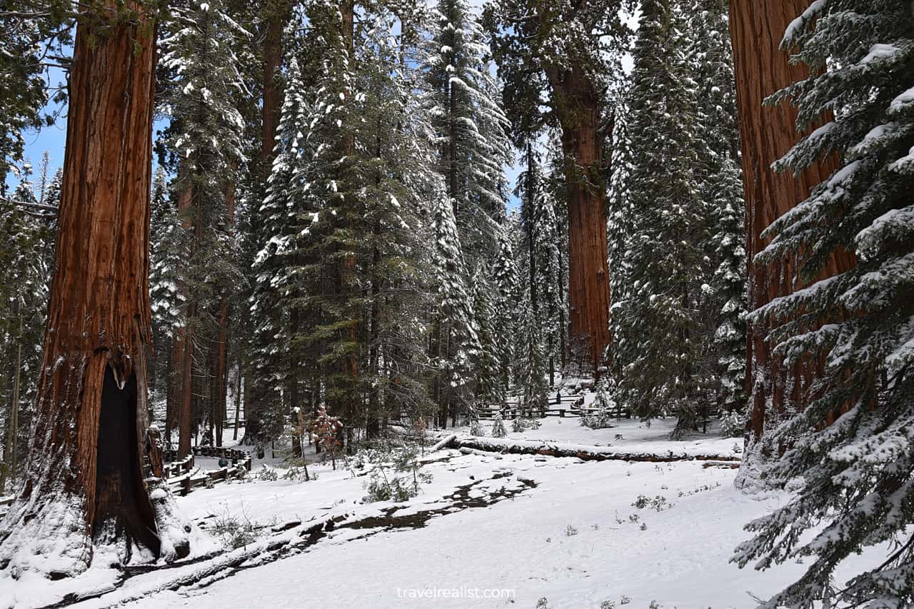
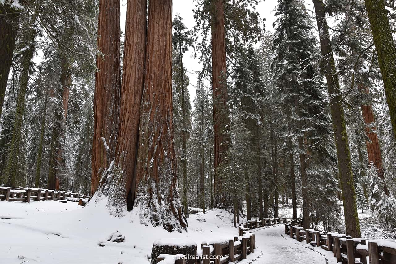
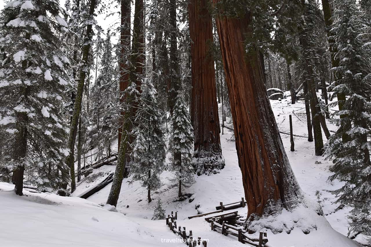
Once you enter the Giant Forest, you will be in a different season. There could be snow if you visit Sequoia in the winter, fall, spring, or even early summer.
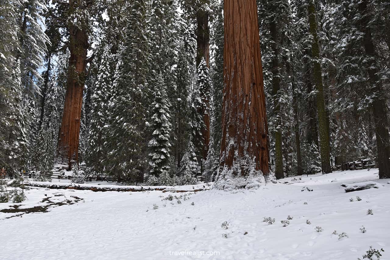
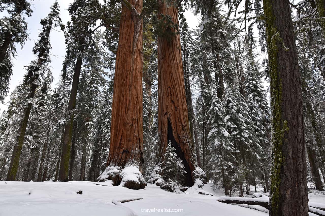
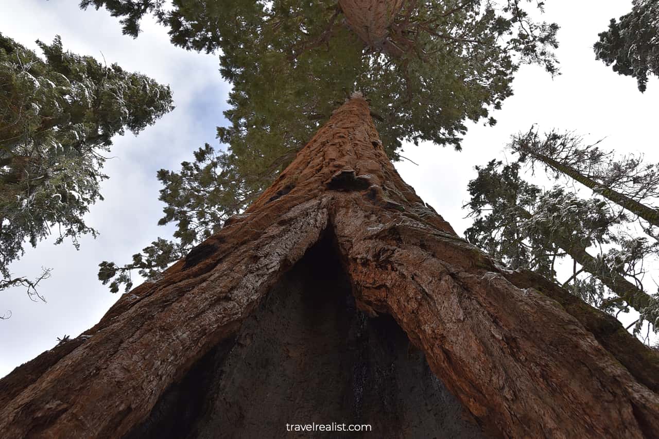
As the area name suggests, the Giant Forest is the first area of the park with lots of sequoia trees. You will spot Sequoias right away thanks to their light brown or orange bark.
Sequoias are shorter than Redwood trees in Redwood National and State Park. But they are quite a bit larger in circumference.
4. Moro Rock, Hanging Rock, & Soldiers
The Giant Forest has a handful of hiking trails you could take to explore Sequoia trees up close. You could easily spend hours in the Giant Forest wandering from one trail to another.
But do not underestimate the challenges of hiking on snow. You will have less traction. Snow often hides icy patches. So, you should be careful when hiking in such conditions.
Snow is present at subfreezing temperatures. Unless you have warm outerwear and boots, you might not be ready to hike for hours in a snowy forest.
Take a look at Moro Rock and Hanging Rock, for example. You could easily reach their trailheads by driving on the paved Crescent Meadow Road in the summer.
But this road closes during winter and after first snowstorms. Forget about hiking for just 5 minutes to Hanging Rock and 10 minutes to Moro Rock. You would need to take a much longer path.
Get ready for hiking 4.4 miles (7 km) on the Soldiers Trail. This route could take you far longer than 90 minutes when hiking on snow.
It is better to leave these trails to when the Crescent Meadow Road is clear of snow. You could then enjoy the Tunnel Log and hike the Crescent Meadow Loop.
The views from the latter trail looks a lot like meadows in Rocky Mountain and Lassen Volcanic.
5. General Sherman Tree
There are still things to see in Sequoia even after it snowed. But it is a good idea to see the main sights of this national park first.
You could then decide if you still can and want to continue exploring the park trails. In this case, drive on the Generals Highway for a few more miles (km).
You will see a small parking lot first. All spots there are reserved for people with disabilities. Keep driving until you reach the General Sherman Tree Car Park.
It will take you about 30 minutes to reach the tree and return to the parking lot. The 1.3-mi (2-km) out-and-back trail goes downhill to the General Sherman Tree. It is the most famous Sequoia tree in the park.
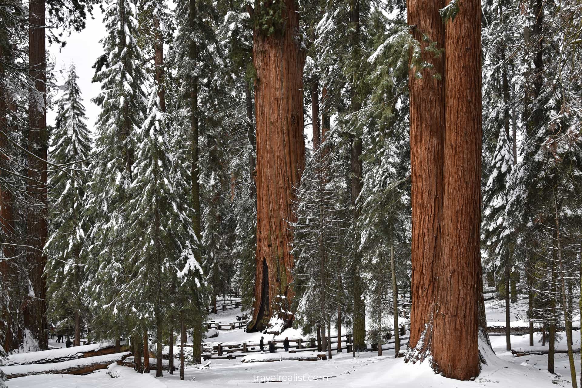
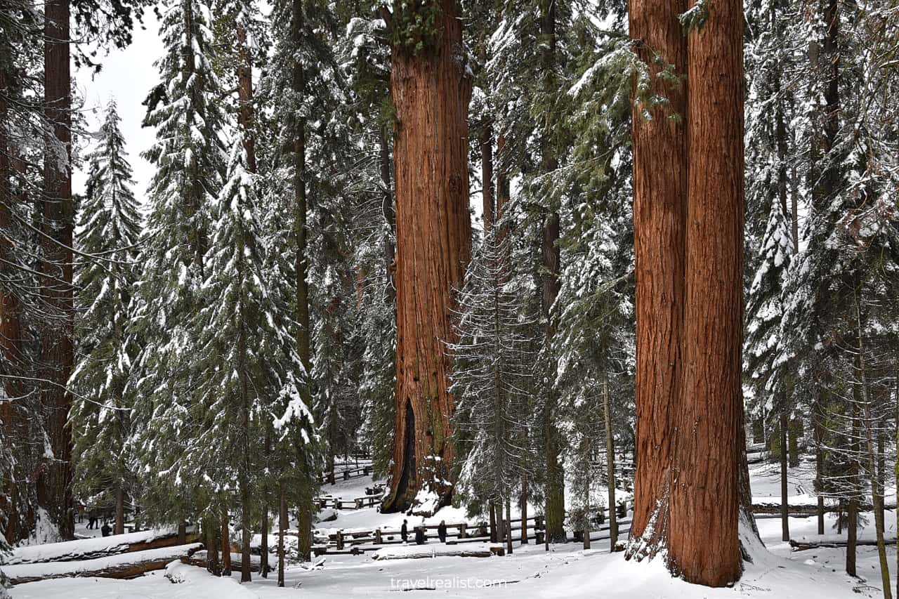
You will be able to quickly spot the General Sherman Tree. It is a lot bigger than other Sequoias nearby. This is hardly a surprise. This tree is the largest living tree on the planet.
This title is even more impressive since this tree is partially hollow. You could walk almost right up to the tree. A wooden fence protects the General Sherman Tree from the visitors.
6. Congress Trail
The return leg of the General Sherman Tree hike involves hiking uphill to the parking lot. It could be a good idea to extend your exploration of the Giant Forest.
Consider taking the Congress Trail. It is a 2-mi (3.2-km) paved loop. It brings you to the Senate Trees, the President Tree, and many others. You will gain 462 ft (140 m) in elevation as you hike this trail.
You might be tempted to switch to another trail instead of taking the Congress Trail Loop back. The Alta Trail and Washington Tree Trail are right next door.
But hiking even further downhill might not be the best idea. You need to be extra careful when hiking on snow. The downhill section of the hike is when most injuries take place during winter hikes.
7. Sequoia Tunnel
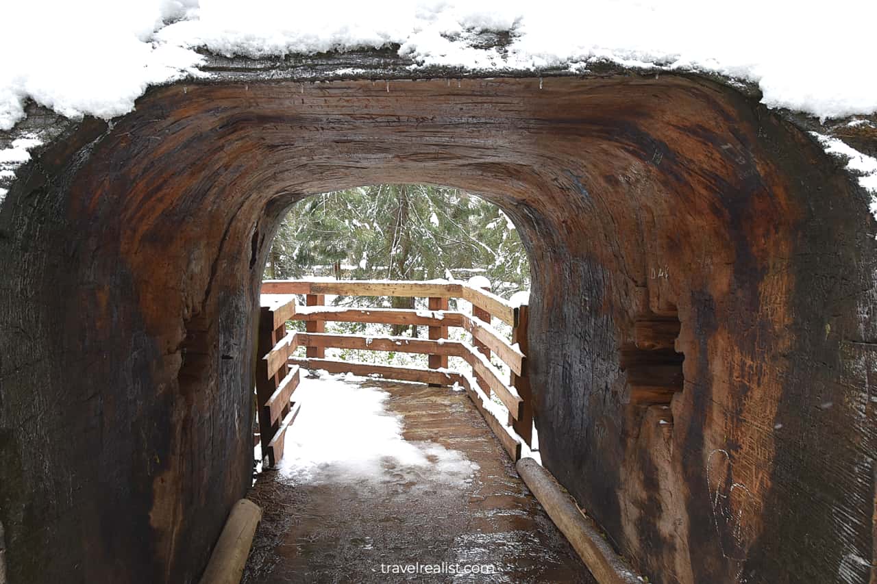
Once you return to the General Sherman Tree, you could choose to take a short detour. It will bring you to the Sequoia Tunnel.
It is a carved-out tunnel in the middle of a fallen tree. Making these tunnels in the live and fallen trees was a popular activity back in the day.
You could find such tunnels all across the park. You need to duck walk in some of them. Others are big enough for a car to pass.
8. Lodgepole: Tokopah Falls
There are a few other trails in the Giant Forest. But you might not find them as captivating after a few hours of hiking on the snow.
It might be a good time to hop back into the car. While you are driving to the next attraction, you should try to warm up. The drive to Lodgepole is just under 10 minutes.
Go to the Lodgepole Visitor Center if you are experiencing any frostbite symptoms. It is best to spend some time inside before you embark on the next hiking adventure.
The Lodgepole area has few sequoias. But its main attraction is not the giant old trees. Most visitors come to Lodgepole to hike Tokopah Falls.
It is a 3.8-mi (6-km) out-and-back trail. It starts right near the Visitor Center. You will gain 626 ft (191 m) in elevation on this moderate trail.
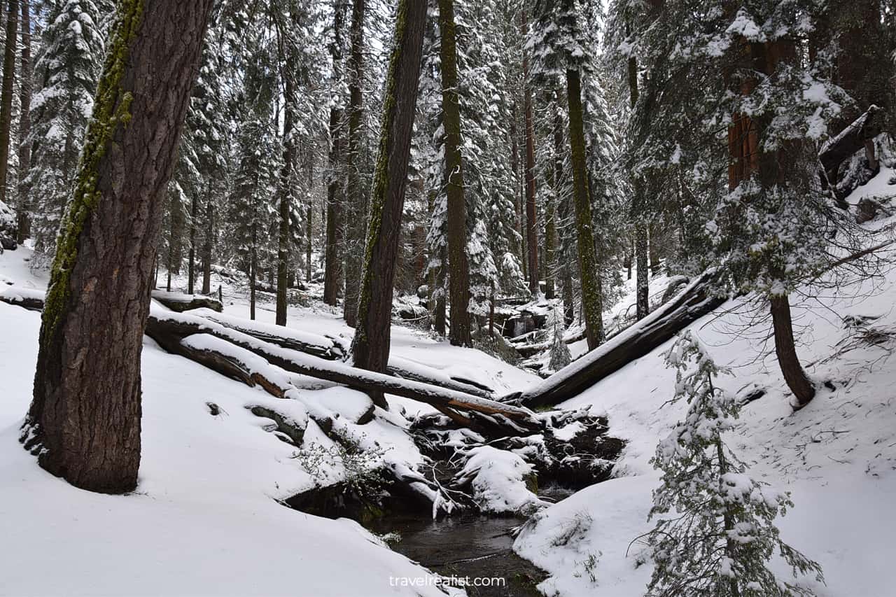
The trail follows the Marble Fork Kaweah River. Most of it goes through an evergreen forest. You will go above the tree line at the very end of the trail. The waterfall drops on the granite boulders.
You could find a handful of other, longer hiking trails in Sequoia National Park. Some of them, like Crystal Cave and Mineral King, remain closed to public. The same is true for Cedar Grove.
There is still Redwood Mountain Grove and Big Stump Grove in Kings Canyon National Park. But you might not find these groves as picturesque as the Giant Forest. General Grant Grove is an exception.
Continue with this Sequoia Hiking Trails Guide. You will learn more about ways to get to the sights, entrance requirements, and places to stay.
Getting to Sequoia National Park
Sequoia National Park is in Central California. The park is about equally far from Los Angeles and San Francisco Bay Area. You need about 4 hours to reach the Foothills Visitor Center from either city.
You might think about visiting Sequoia on a day trip. But unless you live in Fresno or Bakersfield, you will find this plan very difficult to implement.
Sequoia National Park is in the mountains of the Sierra Nevada Mountain Range. Most of the signature trees grow at high elevations. It is not enough to just reach to the Foothills Visitor Center.
You need to budget another 50 minutes to drive 18 miles (28 km) to the General Sherman Tree. You might also want to combine a visit to Sequoia with a trip to Kings Canyon National Park.
In this case, you will be driving the entire length of the Generals Highway. You would need at least 90 minutes just to drive from the Foothills Visitor Center to Big Stump Entrance.
Any stops at viewpoints and hikes will add more time to your visit. A drive to Cedar Grove and back will add over 2 hours when this area reopens.
Last but not least, you would need another hour just to get to Fresno from Big Stump Entrance. This adds up to almost 5 hours of driving time in the parks.
You are better off starting your Sequoia visit in Visalia or Tulare. You could then drive the Generals Highway to Fresno and finish the day there.
Where to Stay near Sequoia National Park
You could choose from a lot of places to stay when you visit Sequoia National Park. There are a few lodges up in the mountains near the Generals Highway.
Look into Wuksachi Lodge, Stony Creek Lodge, or Montecito Sequoia Lodge. These places to stay give you the most flexibility for exploring the park.
Price is the main problem of lodging inside the national park. Few people could afford the hefty location premium they charge.
Most visitors prefer to spend the night in the Central Valley. Tulare, Visalia, Selma, and Fresno are your best options for place to stay. Each of these towns gives you plenty of choices.
You might want to also look into places to stay in Oakhurst. This town is a perfect spot for visiting Yosemite on the next day. This way, you could see three iconic national parks in just a couple of days.
Entrance Requirements & Passes
Sequoia and Kings Canyon are open 365 days a year. But parts of the Generals Highway are often closed in the winter. You could usually expect to drive on this highway between Memorial Day and late October.
You have to carry chains when visiting the park in the winter. Chains might be also required during other seasons after snowfall. That presents a real issue for anyone visiting Sequoia on a rental car.
Most car rental companies do not allow you to install chains on their tires. They are afraid that you will damage the car by improper installation.
Check with your rental company beforehand if they are fine with chains. Otherwise, visit Sequoia in the summer when snow is least likely to be in the mountains.
Sequoia and Kings Canyon charge a joint admission fee. You can visit both parks for $35 per car. It is one of the most expensive national parks to visit.
Bring your America the Beautiful annual pass. It will almost pay for itself after a visit to Sequoia, Kings Canyon, and Yosemite.
You do not need an advance reservation to visit Sequoia. While the park is popular, it receives a fraction of visitors to Yosemite Valley.
You might still need to wait for a bit for a parking spot to open up. Keep this possibility in mind when planning your trip to Sequoia in the summer.
The park suffered from KNP Complex Fire in 2021. It brought damage to the park ecosystem. You could still see the aftermath of the fire years later. Many trails and facilities are still closed to public.
Takeaways: Sequoia Hiking Trails
Sequoia National Park is rightfully one of the most famous parks in the nation. As soon as someone talks about Sequoias, your mind will imagine the largest trees on the planet.
A walk among these ancient trees is well worth a long drive from the plains. But Sequoia National Park has groves and meadows, canyons and mountain peaks.
There are a handful of hiking trails in Sequoia. You could certainly find one that works with your interests and fitness level.
The park tends to get crowds in the summer. But you could still enjoy your visit to Sequoia even in the middle of the high season.
Yet, you might be disappointed if you come to Sequoia during other seasons. Snowfalls are common in the mountains. You will see snow on the trails in the winter, spring, and fall.
Unless you have experience hiking at subfreezing temperatures and on snow, it is best to postpone your visit to Sequoia.
Take a look at this Sequoia Hiking Trails Video Guide. And visit the YouTube channel for the latest videos.
Frequently Asked Questions
Sequoia National Park has hundreds of miles of hiking trails. You would need weeks and months to hike them all.
Sequoia National Park has a handful of day hikes. Some of the best Sequoia hiking trails are:
– General Sherman Tree
– Congress Trail
– Big Trees Trail
– Moro Rock
– Hanging Rock
– Tokopah Falls
– Soldiers Trail
– Washington Tree Trail
– Crescent Meadow Loop
– Alta Peak Trail
– Marble Falls Trail
The General Sherman Tree, Big Trees Trail, Moro Rock, and Hanging Rock are the easiest hikes in Sequoia National Park.
Mid to late summer is the best time to go hiking in Sequoia. While you might run into crowds, there will be no snow on the hiking trails. The Generals Highway should be open. And long summer daylight will allow you to explore more trails.
You could use this pdf map of Sequoia hiking trails. More detailed trail maps are available for purchase at the Visitor Centers.
You might also want to download free offline maps from Maps.me. These maps often include popular hiking trails.
Sequoia has a variety of ecosystems. As a result, the best hiking trail depends on what you would like to see.
– Sequoia Trees: Big Trees Trail
– Waterfalls: Tokopah Falls
– Alpine Meadows: Crescent Meadow Loop
– Mountain Peaks: Alta Peak Trail
You do not need a permit for day hikes in Sequoia. But you should get a permit for overnight hikes in the park.
Safe realist travels!

