Wrangell-St. Elias: The Glacier You Can Hike On
This realistic Wrangell-St. Elias Glacier Hiking Guide helps you plan your next adventure in this park.
Wrangell-St. Elias National Park & Preserve is the largest national park in the United States. It is one of the few places on earth where you can hike on the glacier. And you do it without a tour guide.
This post includes affiliate links that will earn us commission if you make a purchase via these links.
Sights & Places of Interest
Wrangell-St. Elias became a National Park in 1980. It received this designation on the same day as 6 other parks in Alaska. Denali is the only older national park in the state.
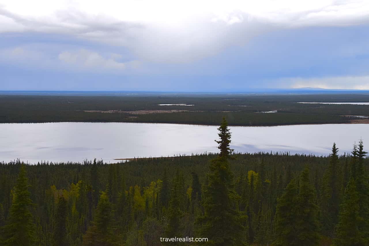
Wrangell-St. Elias is a very remote park. In fact, you will likely need to take a shuttle or a plane to reach this park. But the long road is worth a chance to hike the impressive Root Glacier.
This Wrangell-St. Elias Glacier Hiking Guide will first describe the things to see along the way to the park.
Edgerton Highway
Most visitors to Wrangell-St. Elias do not go further than the visitor center in Copper Center. Those who plan to hike the glacier, go to Kennecott.
A shuttle bus is the easiest way to reach the park. It involves a drive on the unpaved McCarthy road.
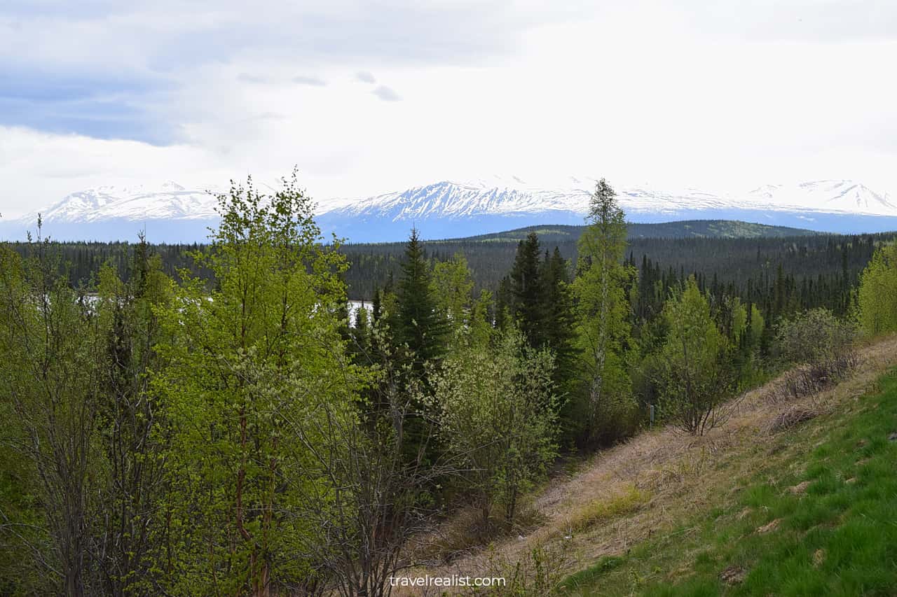
The shuttle bus first picks up tourists from the nearby towns of Glennallen, Copper Center, and Kenny Lake.
Once everyone is onboard, the shuttle starts the drive on the Edgerton Highway (AK-10). The paved highway connects the main Richardson Highway with the town Chitina.
Tonsina River
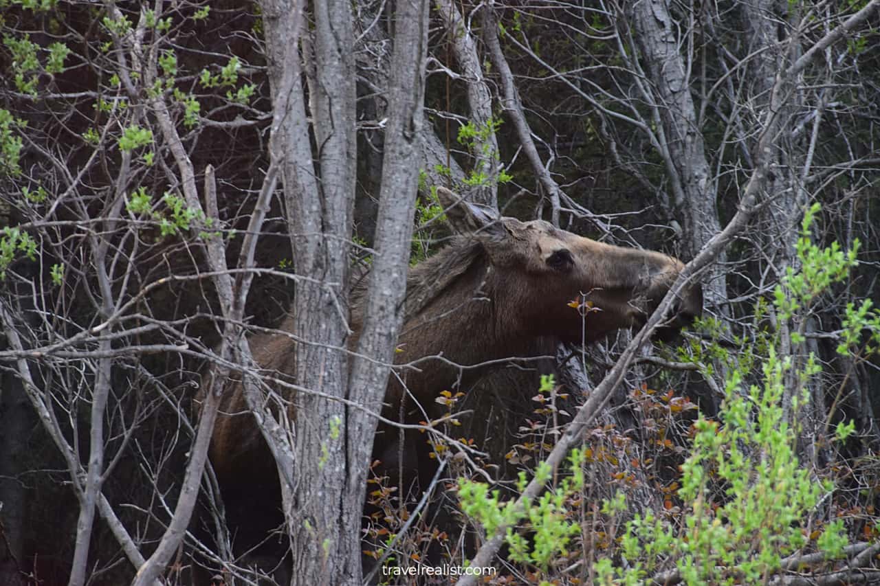
The highway first follows the Tonsina River. This 20-mi (32-km) stretch of the river is a great place for wildlife viewing. Be on the lookout for moose.
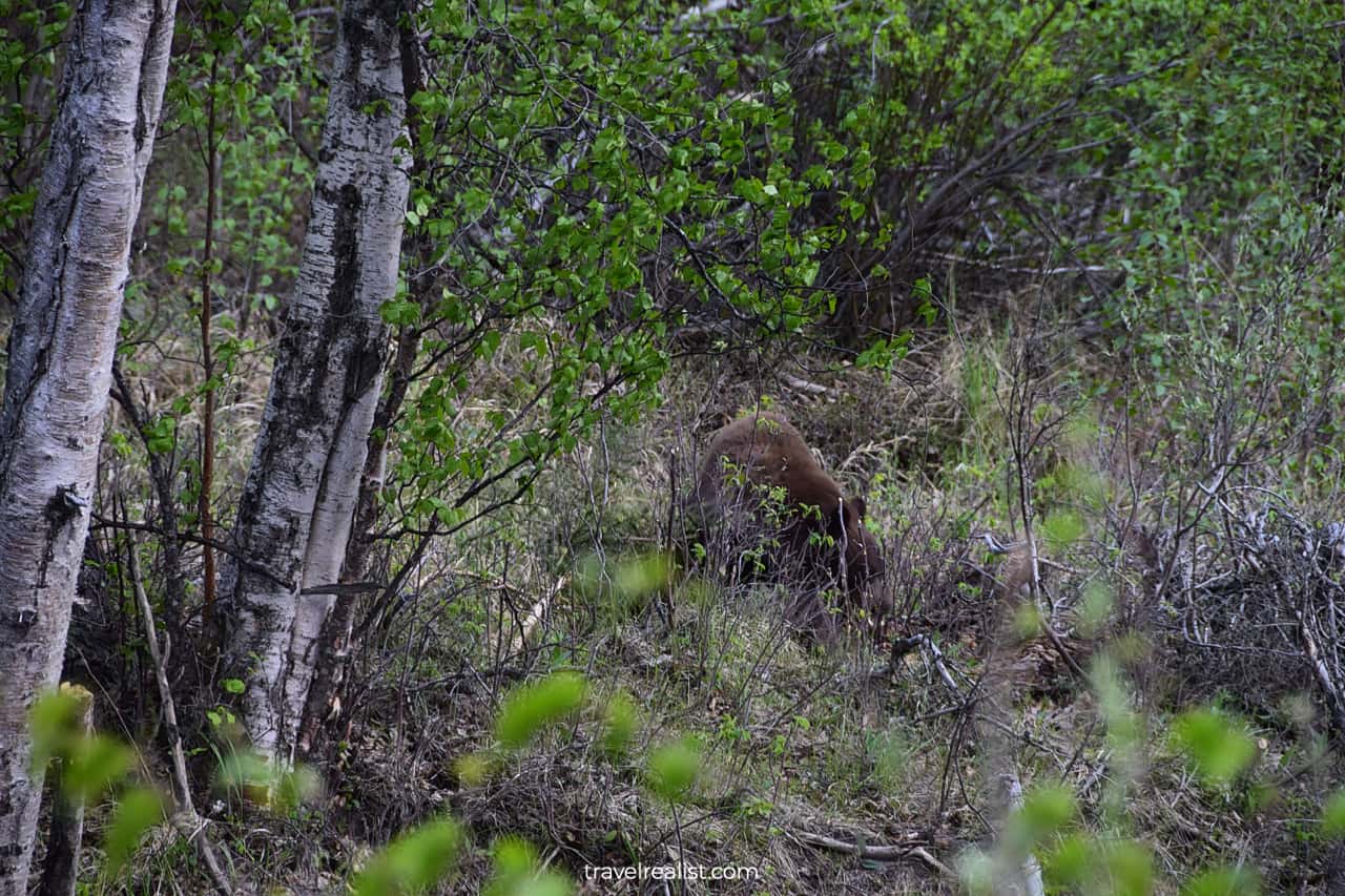
The area is also in the bear country. You can spot both grizzly and black bears near Tonsina River. Your chances for seeing a black bear are higher here than in Denali.
Chitina
Chitina is a town at the confluence of the Chitina River and Copper River. This town marks the end to the paved road. The shuttle makes a rest stop at the Chitina Ranger Station.
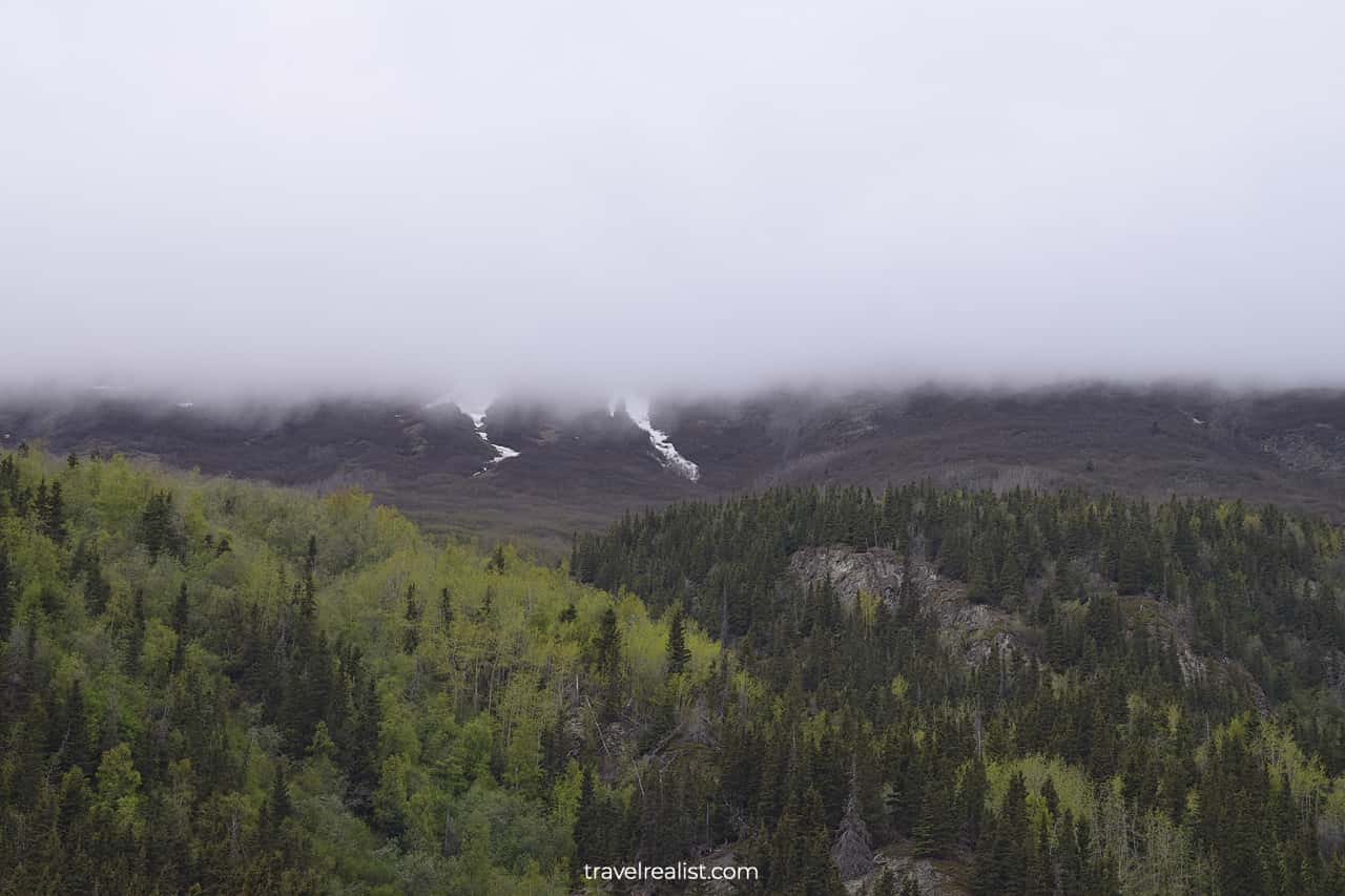
The tour stars quite early in the morning. There is a high chance that fog would still cover the surrounding mountains. The views are similar to Keystone Canyon, about 100 miles (160 km) south of the town.
Gilahina Trestle
The road between Chitina and McCarthy is unpaved. There are just 60 miles (97 km) between the two towns. But it will take you about 2.5 hours to drive it.
The reason is simple. The road condition is quite poor. You will be following an old railway route. The railway gave place to a dirt road due to low use.
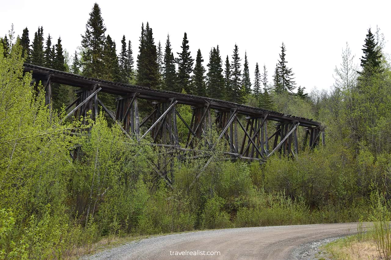
You will see parts of the railway throughout your journey. In fact, an old railway bridge at Gilahina Trestle is the shuttle’s next stop. It is about halfway of the drive.
These bridges once made a train ride possible through the mountains. Nowadays you can take a picture of this engineering wonder. Or just stretch your legs before the next part of the drive.
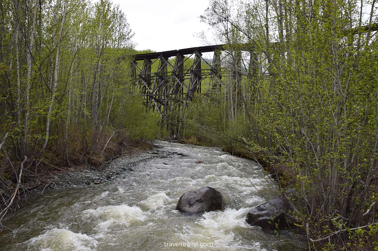
McCarthy
The shuttle brings you to McCarthy about 2.5 hours after leaving Chitina. You need to cross the Kennecott River via a pedestrian bridge.
Once you are on the other side of the river, you can hop into another shuttle. A return trip on this bus is part of the tour price. But if you make a stop in McCarthy, you have to pay out of pocket for a ride to Kennecott.
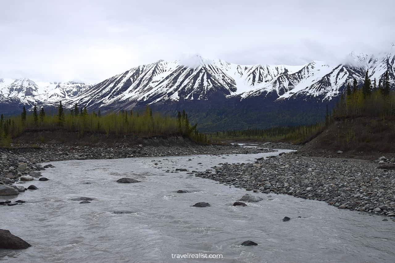
Your driver will likely try their best to get you to stop in McCarthy. They will talk about the town’s only dining spot and flightseeing tours.
But you have to stand your ground if you came to Wrangell-St. Elias to hike Root Glacier. A stop in McCarthy would cost you more than just $5. You would also lose 1.5 hours due to the shuttle’s schedule.
Proceed to Kennecott without stopping to have enough time for a glacier hike.
Kennecott Mines
The driver will lose interest in you after passing McCarthy. Once you arrive in Kennecott you are on your own.
The buildings remind of this village’s mining past. They display the town’s life in the 1930s. You can explore many of the buildings without a guide.
But this is not the case for the most prominent structure in town. You can visit the 17-story mine only as part of a tour group. The tour schedule perfectly aligns with the shuttle’s second ride from McCarthy.
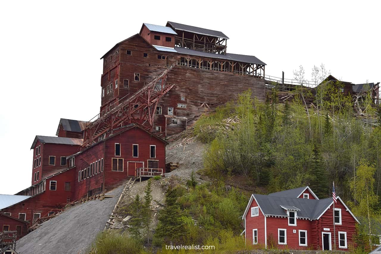
You would have to make another decision here. You can hike Root Glacier or wait for the tour. A surprisingly large number of visitors just wait for the mine tour.
Root Glacier/Erie Mine Trail
This section of the Wrangell-St. Elias Glacier Hiking Guide will focus on the Root Glacier trail.
If Root Glacier is your main destination, there is no time to lose. The trail starts at the end of the town’s main street. It is a wide path in a good condition.
The Root Glacier round trip hike takes 4 miles (6.4 km).
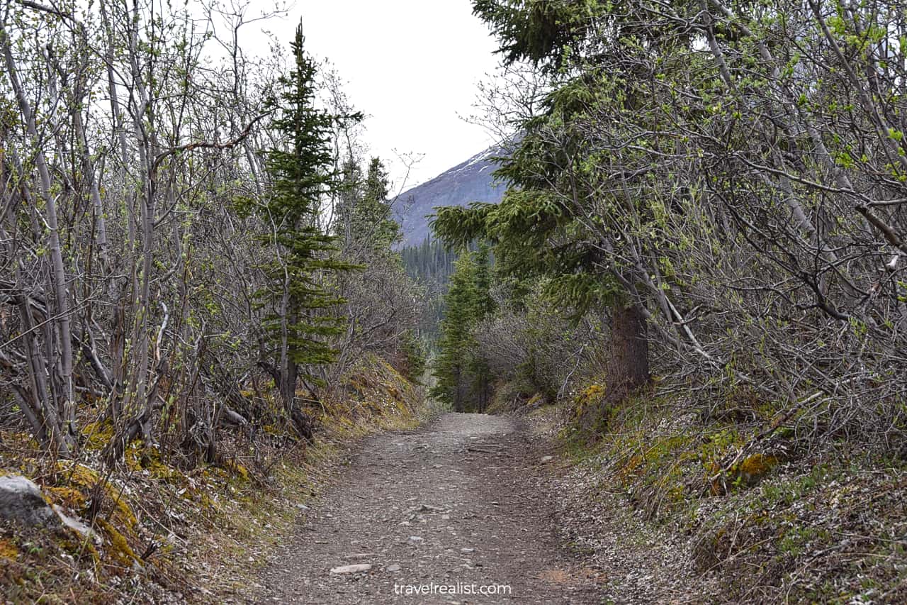
The trail proceeds through the wilderness. It is possible to view wildlife while hiking the Root Glacier trail. Bears could be in the area. So it is safest to make noise. You can talk loudly or sing to not run into a bear on this trail.
Bonanza Creek
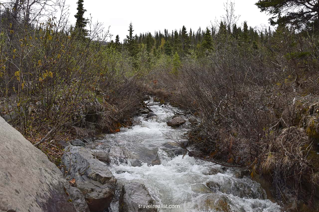
The trail crosses the Bonanza Creek just minutes from the trailhead. There is wooden bridge so you do not have to wade.
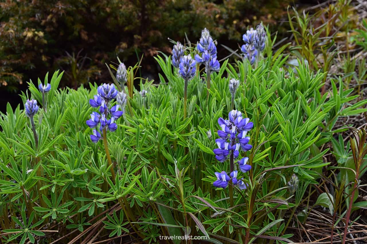
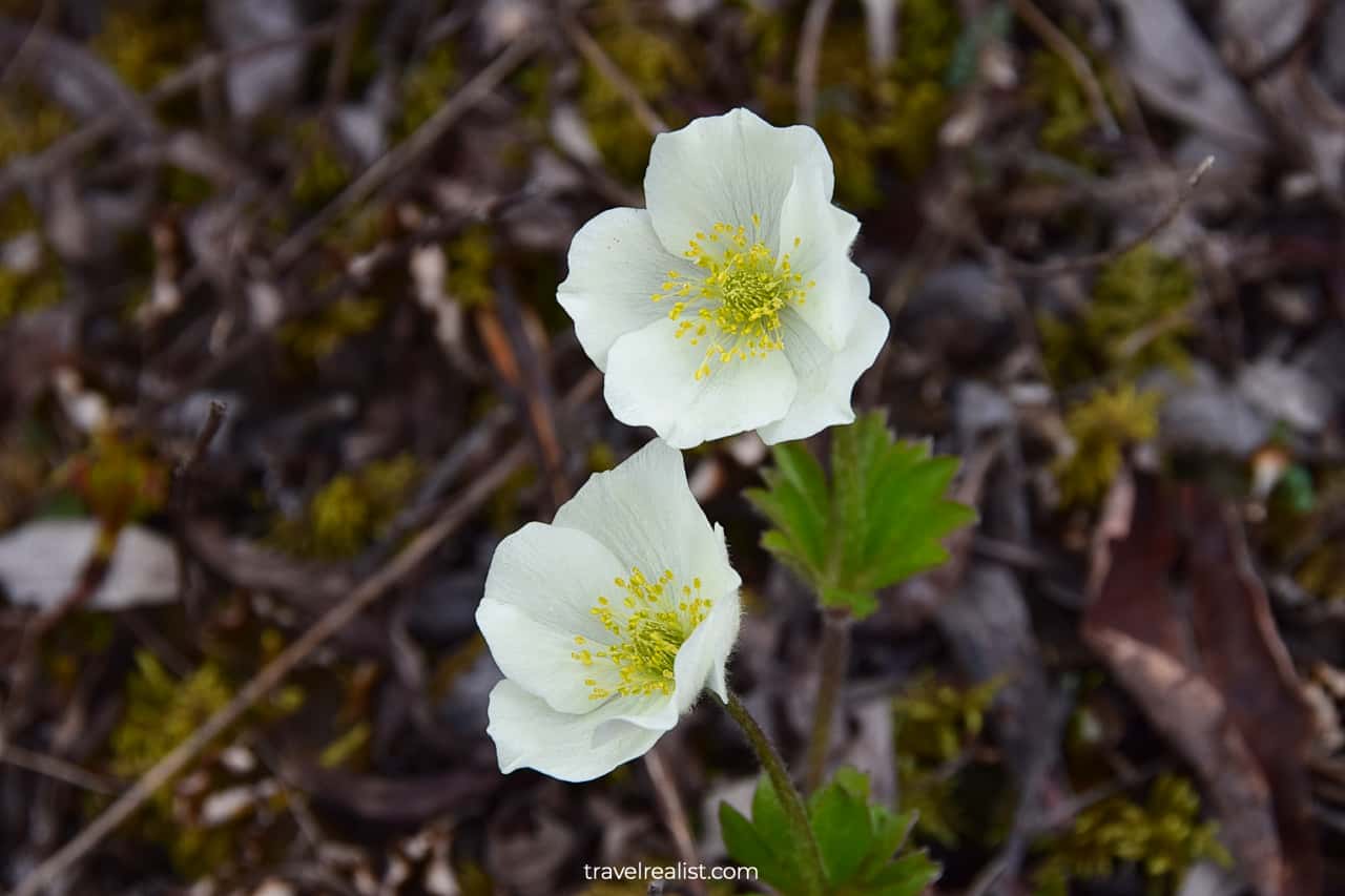
If you hike the Root Glacier trail late spring or early summer, you will see blooming flowers along the route.
Jumbo Creek
The Jumbo Creek is another milestone on this hike. It is about halfway between the town and the glacier. You would need to cross the creek via a log.
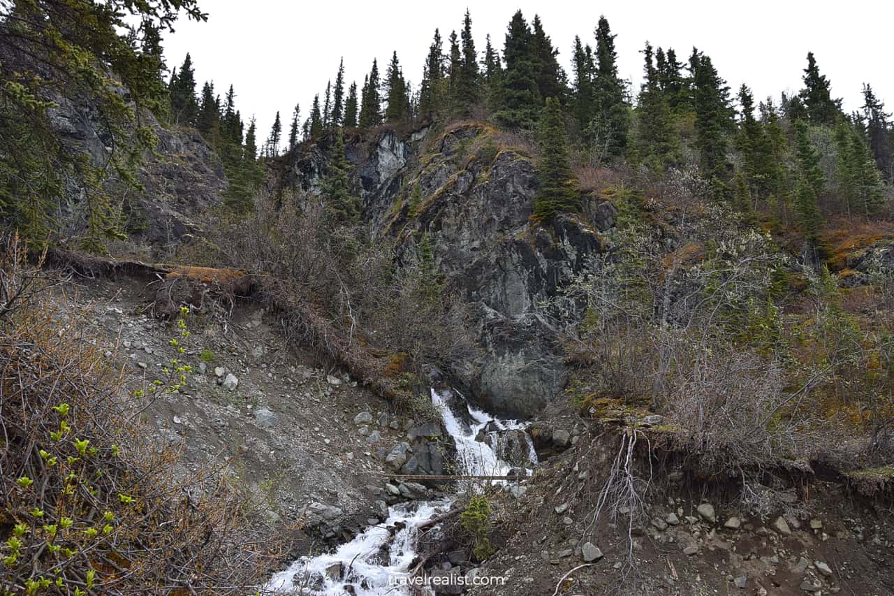
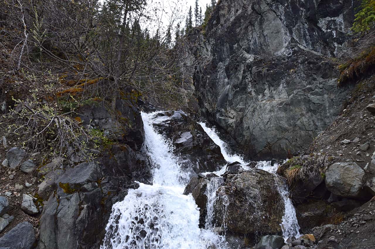
The creek has a nice waterfall near the crossing. This area is prone to landslides. So be careful when hiking around the Jumbo Creek.
Glacier Campground
The trail starts to lose elevation after the Jumbo Creek crossing. You would need to turn left at the Glacier Campground. Boulders, rocks, and pebble will take over the landscape.
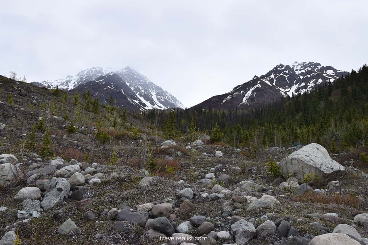
You will soon get the first good look at the Root Glacier.
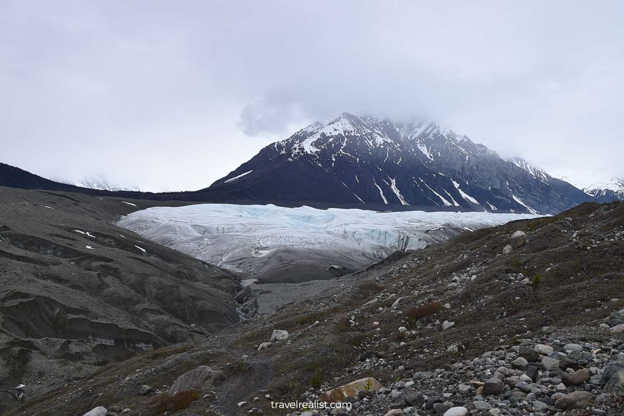
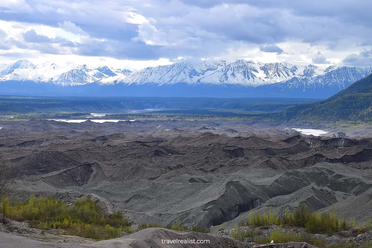
The glacier has been shrinking over the years. You could see layers of rocks and pebbles. Ice and snow covered them not so long ago.
Root Glacier
Root Glacier is unique. You can explore it for free and without a tour guide. This is not the case in most other parks around the world.
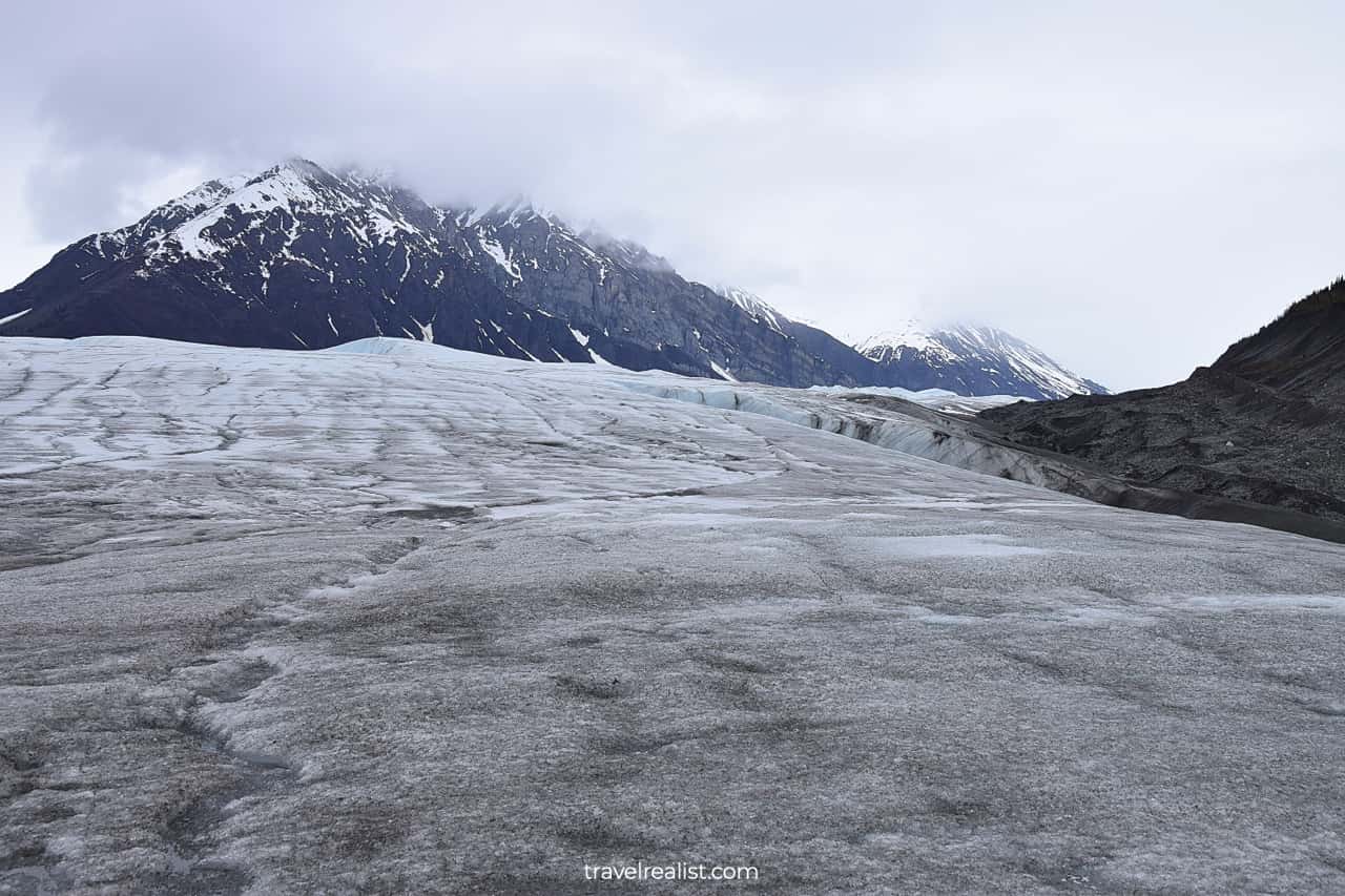
Hiking the glacier is dangerous. You might want to have crampons and sturdy shoes. There are no ice spikes rentals in Kennecott. Your only way to get them is to take a glacier tour.
Or you could take things slow and at your own risk. Give yourself plenty of time when exploring Root Glacier without a guide.
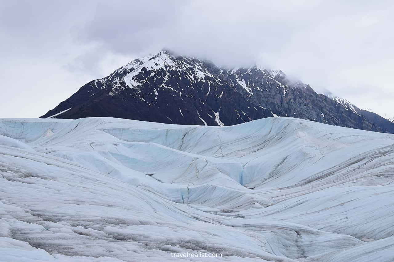
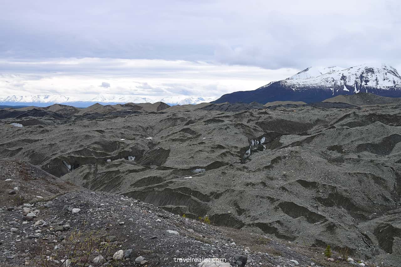
The glacier’s force is at full display in Wrangell-St. Elias National Park. You can see where the glacier used to be a few years ago.
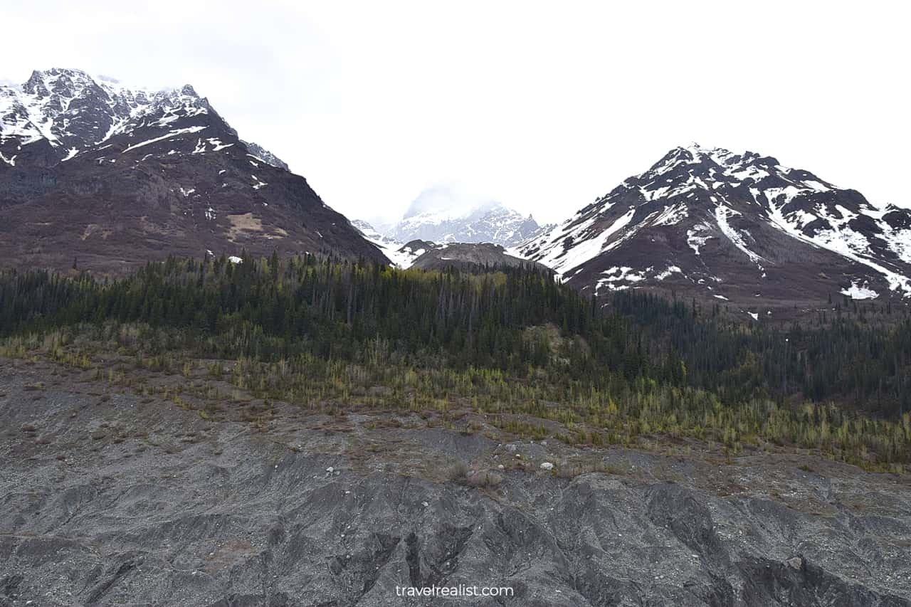
You will notice that the glacier’s surface is not uniform. It has a lot of small pits with water.
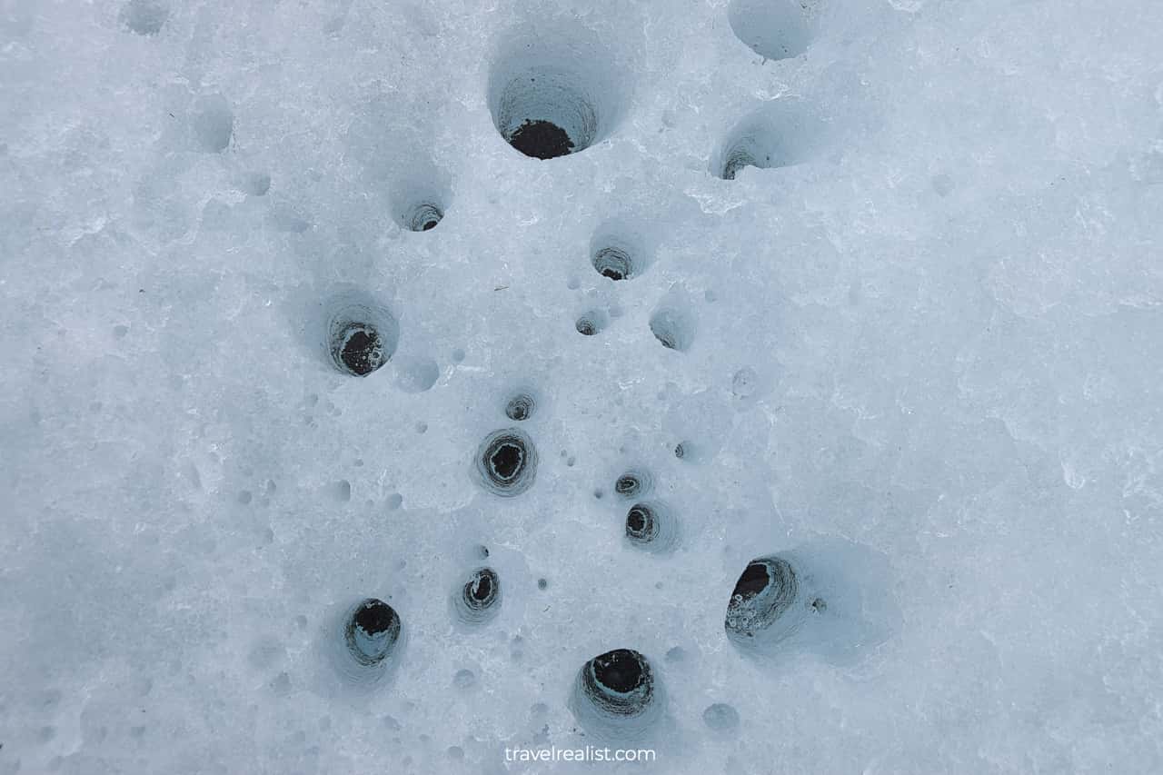
If you look closer you would notice that all of these pits have pebbles. Black and grey pebbles warm up in the sun. They melt the ice beneath and fill these pits with water.
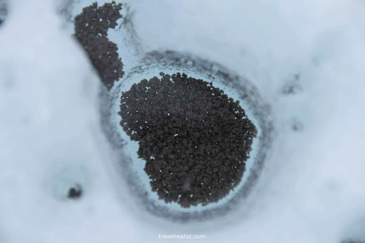
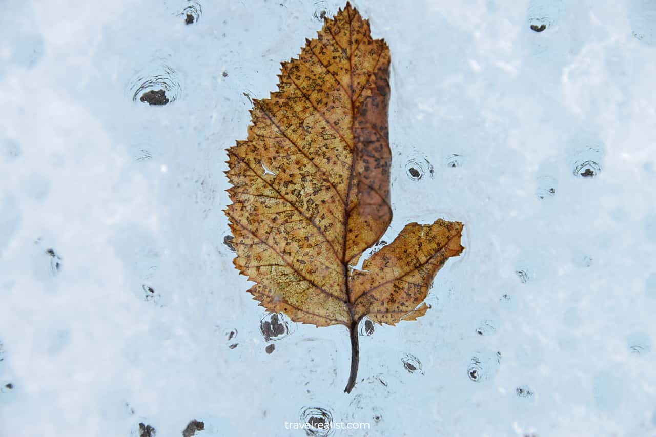
Sometimes you would see things frozen into the glacier. Many fallen leaves are under the glacier’s surface. It makes Root Glacier a great spot for close-up photography.
There are no marked trails on Root Glacier. You can explore it based on your fitness level and time. It is easy to spend over an hour hiking the glacier.
The return leg of the hike follows the same path. You can enjoy creeks and Alaskan wildflowers.
Kennecott
Unless you only enjoy the glacier from a viewpoint, you will likely be late for the Kennecott Mines tour.
There is not much more to do in Kennecott. Outside of the historic buildings, there is a food truck. But its hours are unreliable early in the season.
This is the only downside of skipping McCarthy. There is a fast-casual dining spot there. It is always open during the tour season.
Bring plenty of snacks to avoid running out of food. You can enjoy them in a setting with breathtaking views.
Kuskulana Bridge
The return leg follows the same path in the reverse order. A shuttle picks you up in Kennecott and brings you to the bridge. The original bus then starts driving back to Chitina.
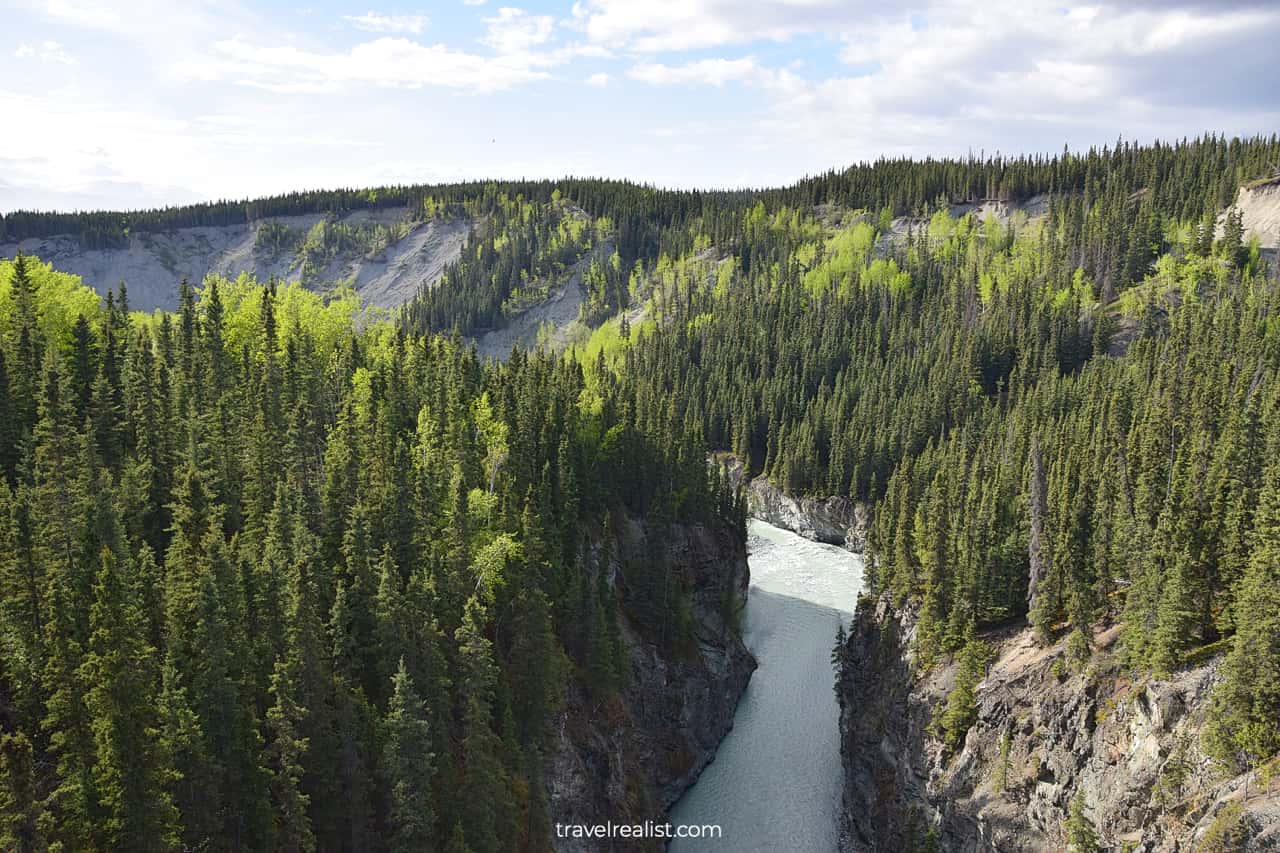
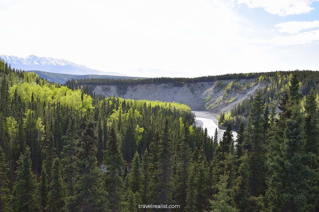
It stops at the Kuskulana River on the way back. If the weather is nice, you will have an option to cross this bridge on foot.
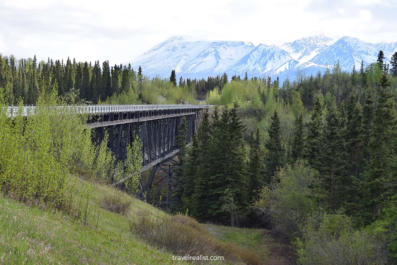
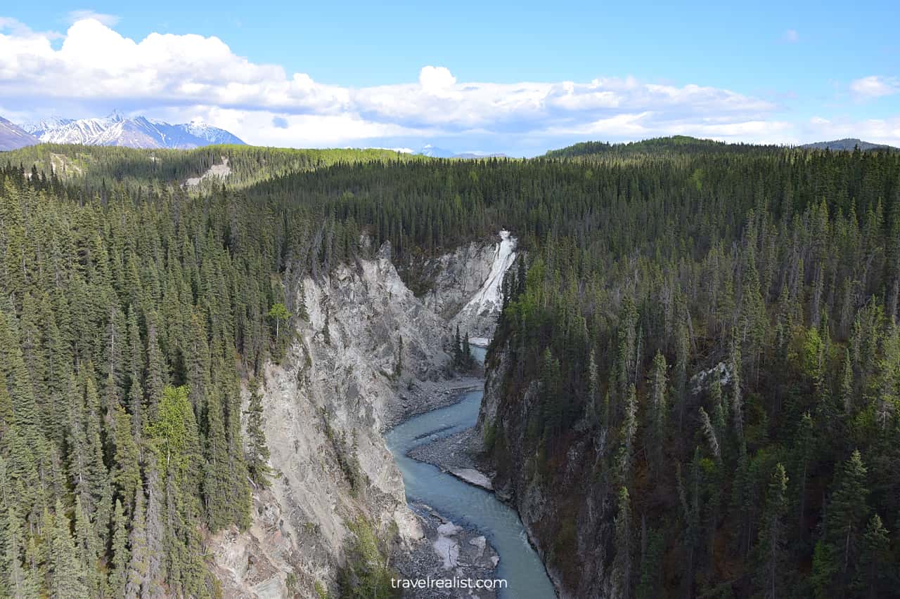
It is a great way to stretch your legs after about 1.5 hours in a bus. You can enjoy fantastic views of the river gorge. The shuttle will pick you up on the other side of the bridge.
Chitina & Copper Rivers
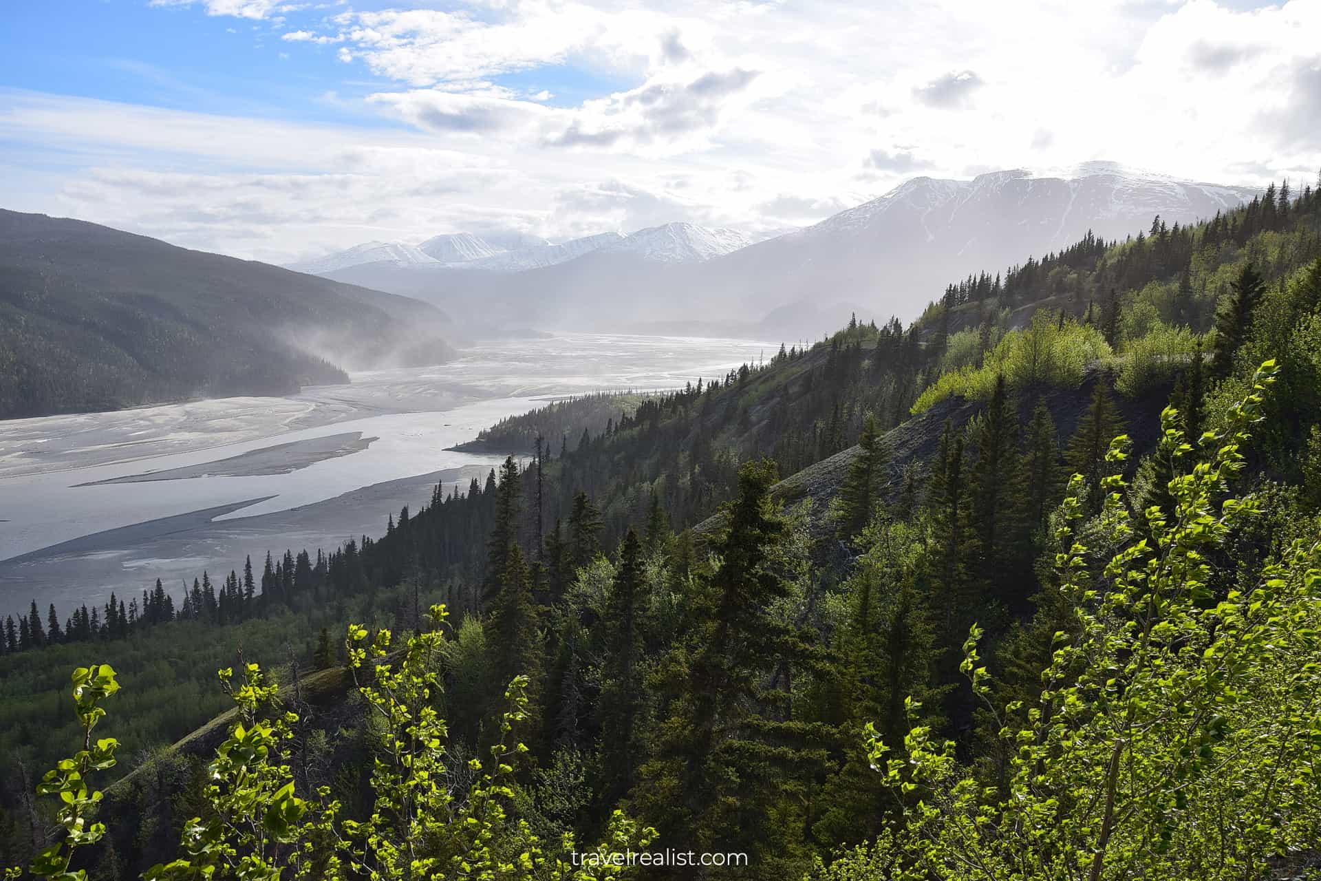
The shuttle will stop one more time before reaching Chitina. There is no-name viewpoint right before the mouth of Chitina River.
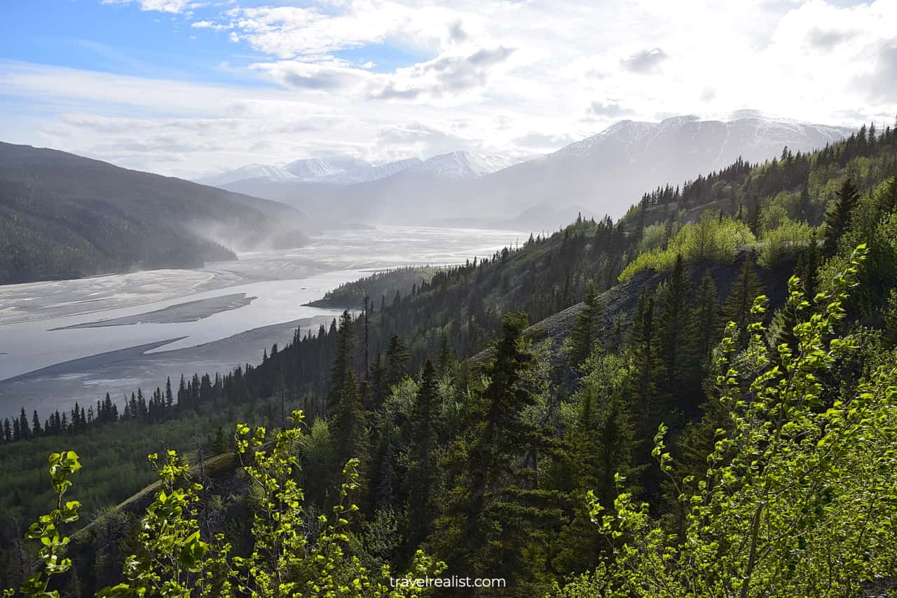
The view depends on the weather conditions. If the weather is sunny, you will see mist in the river valley. This view is a sight to see.
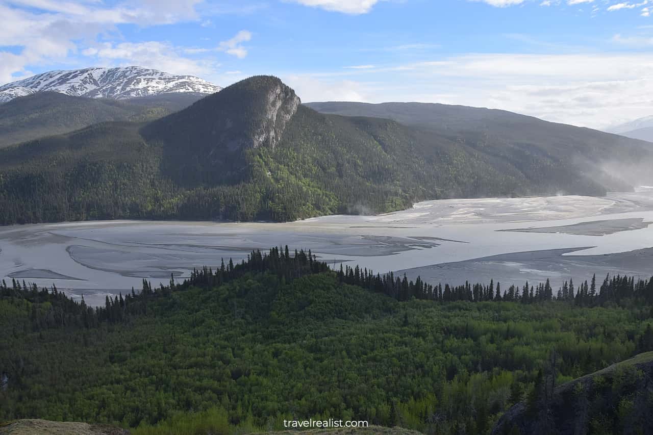
Continue with our Wrangell-St. Elias Root Glacier Hiking Guide. You will learn more about ways to get to the sights, entrance requirements, and places to stay.
Getting to Wrangell-St. Elias
Wrangell-St. Elias is in Southcentral Alaska. The largest national park in the country spreads for miles and miles.
- The town of Nabesna is near its northern boundary.
- The park continues all the way to the ocean coast in the south.
- The Canadian border is the park’s eastern boundary.
- Tazlina is the park’s westernmost point.
The park is very hard to reach. There are only two roads leading into the park. Both are unpaved dirt roads. They are only open in the summer.
- McCarthy Road: 60 miles (97 km)
- Nabesna Road: 42 miles (68 km)
Most major car rental companies prohibit driving on these roads. Your rental agreement and insurance become invalid if you take a rental car there.
That leaves shuttle buses and planes as the only ways to get to the park. There are several shuttle bus companies that bring you to the park from Anchorage.
But there is only one shuttle bus from Glennallen to McCarthy. It gives you about 5.5 hours to explore Root Glacier.
Where to Stay near Wrangell-St. Elias
If you would like to stay in the National Park, there are few places to stay in McCarthy. They operate seasonally and charge a location premium.
If you do not mind a longer drive, Glennallen and Copper Center are your best options for lodging. There are more places to stay. And they could be more affordable.
Alternatively you could look into places to stay around Kenny Lake and Chitina.
Entrance Requirements & Passes
Wrangell-St. Elias National Park does not charge entrance fees. You can enjoy the largest park in the nation free of charge. No need to take your America the Beautiful annual pass when visiting this park.
Takeaways: Wrangell-St. Elias Glacier Hiking
Wrangell-St. Elias National Park is fantastic destination. You can hike Root Glacier for free and without a guide. Reaching the park on the McCarthy Road is an adventure.
Here is how to make the most from your glacier hiking trip to Wrangell-St. Elias.
- Pack plenty of snacks to not depend on the food truck in Kennecott.
- Take a shuttle to McCarthy. Or drive if your rental company allows it.
- Proceed directly to Kennecott and decline upsell attempts.
- Bring sturdy shoes and crampons. Or book a glacier tour.
- Make noise on the trail to not run into a bear.
- Know your limits and take it slow on the glacier.
- Enjoy glacier views and wildlife viewing.
- Explore historic buildings in Kennecott.
Take a look at our Wrangell-St. Elias Glacier Hiking Video Guide. And visit our YouTube channel for the latest videos.
Frequently Asked Questions
Wrangell-St. Elias is an amazing destination. It is one of the few places in the world where you can hike on the glacier.
Wrangell-St. Elias is the largest US national park. It is a remote destination in Alaskan wilderness. Visitors enjoy open access to Root Glacier.
You can get to Wrangell-St. Elias National Park via a car, shuttle bus, or plane. Both roads leading to the park are unpaved dirt roads.
Summer is the best time to visit Wrangell-St. Elias. The dirt roads are open. And the daytime is the longest.
Wrangell-St. Elias National Park is the largest park in the United States. It spreads from the ocean coast to the Canadian Boarder.
There are many activities to do in Wrangell-St. Elias.
– Hike to and on Root Glacier
– Explore historic buildings in Kennecott
– Take a tour of the Kennecott Mines Building
– Enjoy river views from the overlooks
– View wildlife
Wrangell-St. Elias National Park allows you to hike to and on Root Glacier. You do not need a guide to do so. But you hike at your own risk.
Bring sturdy shoes and crampons if you have them. Know your limits and pace yourself.
Wrangell-St. Elias became a national park in 1980, along with 6 other parks in Alaska. Kennecott and Nabesna were mining towns in the past. The park protects the Wrangell Mountains and glaciers.
Safe realist travels!


