Guadalupe River State Park: 9 Great Hiking Trails

This realistic Guadalupe River Hiking Trails Guide helps you plan your next adventure in this scenic park.
Guadalupe River is a state park north of San Antonio, Texas. Refreshing waters and rugged cliffs of this Hill Country river are a magnet to visitors.
This post includes affiliate links that will earn us commission if you make a purchase via these links.
Guadalupe River spans 230 miles (370 km) from the mountains near Kerrville to the Gulf of Mexico. The river helps plants, wildlife, and people survive Texas summer heat.
Guadalupe River State Park protects the land along a few scenic bends in the upper reaches of the river. You could choose to visit the park units on both south and north shores of the Guadalupe River.
Sights & Places of Interest
You will find a variety of sights in Guadalupe River State Park. They range from rocky beaches and picnic areas to wildlife spots and hiking trails. The park is also a gateway to Honey Creek State Natural Area.
Most visitors come to this park to enjoy the river. The water level is too low to swim. But you could wade in the river all summer long. Picnic tables and grills along the shores are always busy at Guadalupe River.
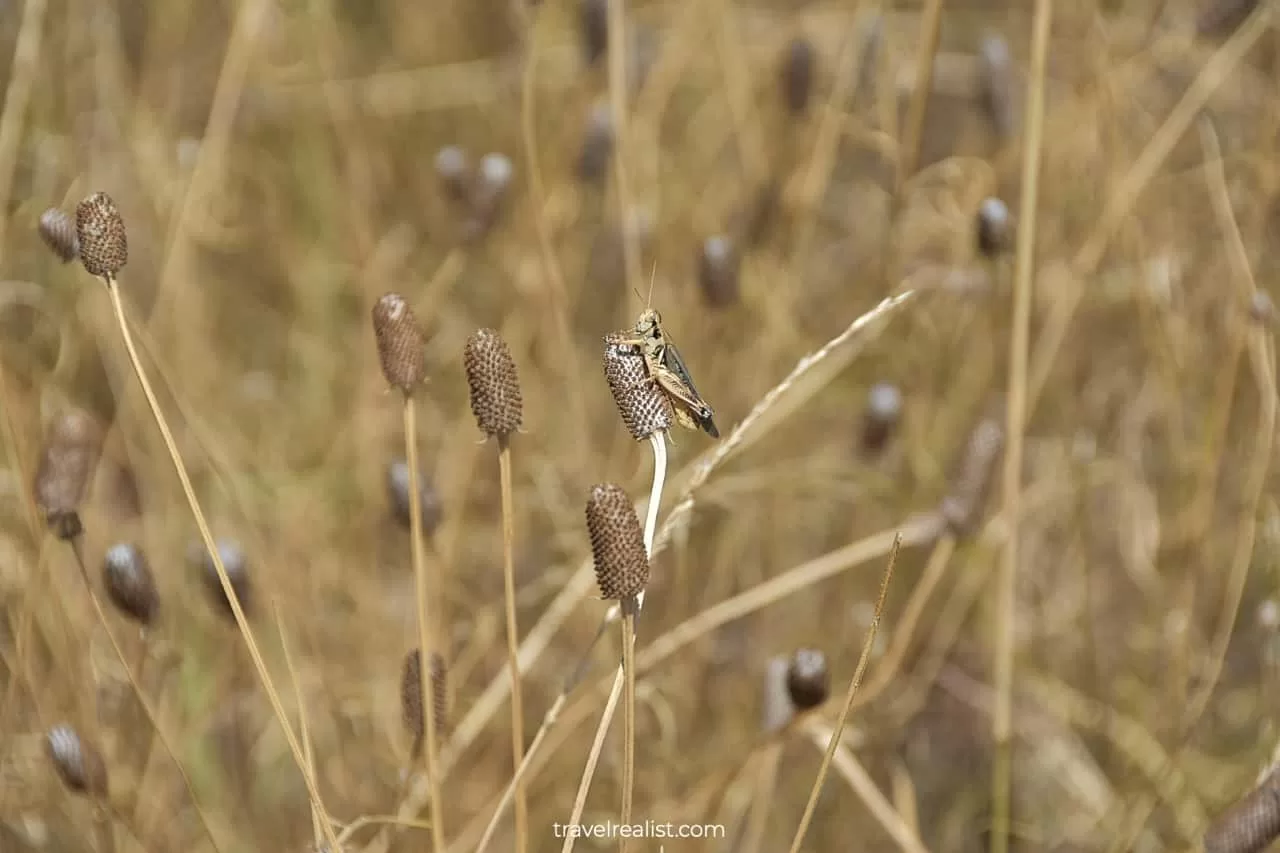
Outdoor lovers could take advantage of the hiking trails in Guadalupe River State Park. There are 13 miles of hiking trails in the park. The trails bring you to river rapids, known wildlife spots, and historic buildings.
This Guadalupe River Hiking Trails Guide covers the best trails in the park. The easy must-do trails on your first visit are listed at the beginning. Jump to the later sections if you are an experienced hiker.
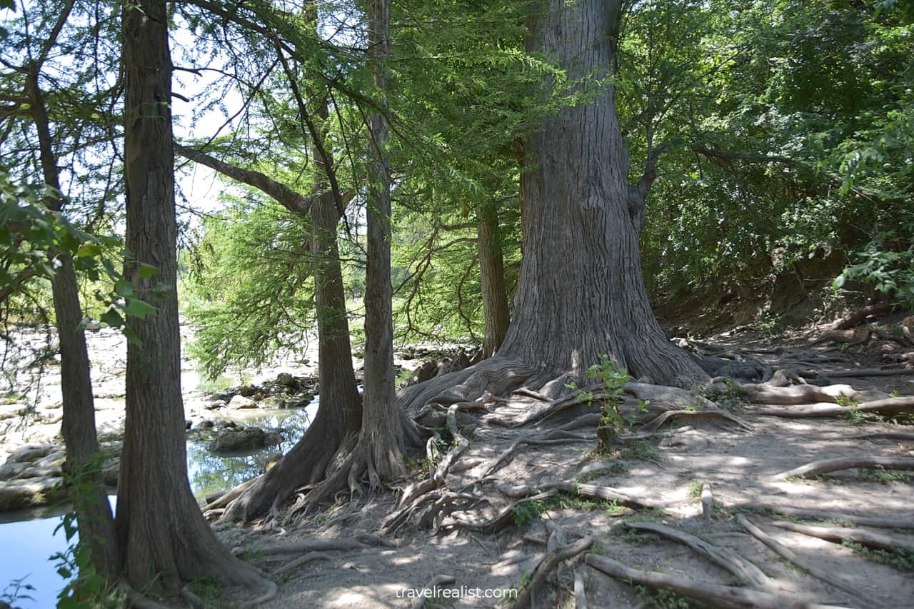
1. Bald Cypress Trail
- Distance: 0.6 miles (1 km)
- Elevation Gain: 95 ft (29 m)
- Type: out-and-back
- Difficulty: easy
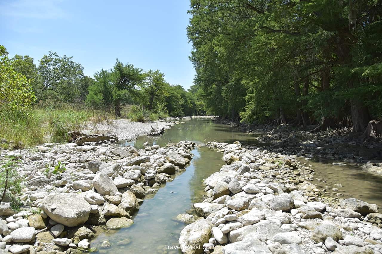
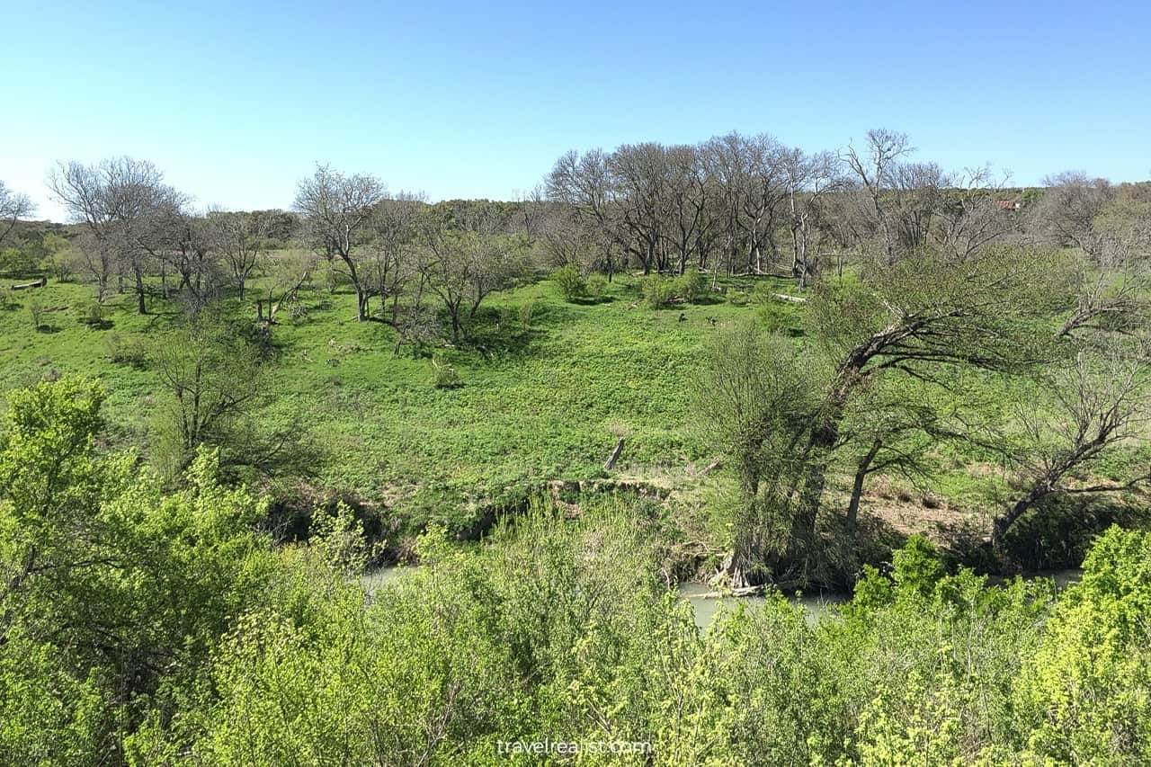
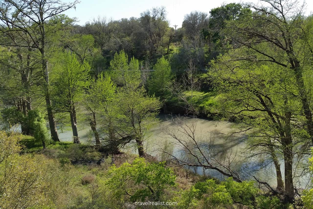
The Bald Cypress Trail is a must-do hiking trail in Guadalupe River State Park. This trail follows the river for over half a mile (1 km). It brings you to the main natural wonders of the park.
You could start your hike from a parking lot near the Woodland Blind. Take a few moments to spot birds. Cliff swallows use nearby cliff for their nests. The cliff is breathtaking on its own, too.
If the Wagon Ford Walk-in Tent Area is your trailhead, you will reach the Guadalupe River Rapids first. This area is most scenic after a heavy rainfall the night before. Enjoy a strong stream gushing over rocks.
The path between the Swallow Cliff and the Guadalupe River Rapids is far less scenic. You will be walking past a never ending picnic area. There will be visitors grilling and wading in the river almost year round.
2. Cedar Sage River Trail
- Distance: 0.4 miles (0.6 km)
- Elevation Gain: 26 ft (8 m)
- Type: out-and-back
- Difficulty: easy
The Cedar Sage River Trail is the second best hiking trail to take in Guadalupe River for beginner hikers. It is the closest trail to the Bald Cypress Trail.
This path gives you a way to see even more of the park without taking longer paths. The easy trail brings you from the Swallow Cliff to the Cedar Sage Camping Area.
This hiking trail looks a lot like paths in other river parks in the Texas Hill Country. McKinney Falls, Pedernales Falls, Colorado Bend, and Garner all have similar sections and scenery.
You could choose to stop at the Discovery Center to take a short break. Enjoy the exhibits at this nature center. Both kids and adults could learn a thing or two about Texas wildlife there.
3. River Overlook Trail
- Distance: 0.3 miles (0.5 km)
- Elevation Gain: 43 ft (13 m)
- Type: out-and-back
- Difficulty: easy
The River Overlook Trail is the third best hiking trail to explore in Guadalupe River State Park. It is one of the best hikes to take if you only have a couple of hours in the park.
A handful of trailheads lead you to the river viewpoint. You could start your hike from the Amphitheater, Cedar Sage Camping Area, or the Cedar Sage River Trail.
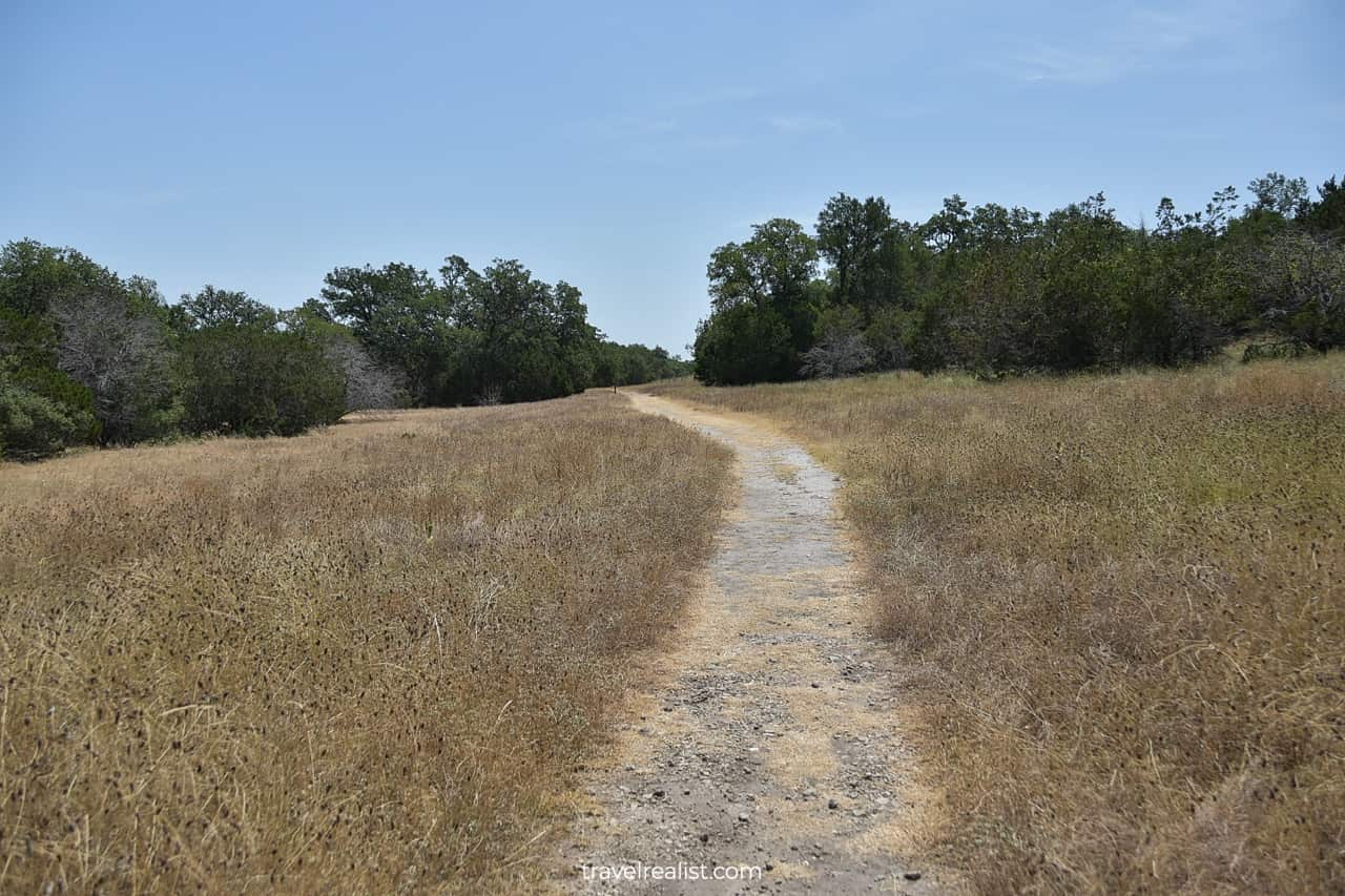
Keep in mind that there is no shade on the River Overlook Trail. You will be hiking across a large meadow. While it is a great place to see wildflowers in the spring, little shade is a challenge in the summer.
Do not underestimate Texas heat. Sunburns and heat stokes are possible even after a few minutes hiking in the open sun. It is best to not take chances. Bring plenty of water, apply sunscreen, and wear a hat.
4. Bauer Trail
- Distance: 1.3 miles (2 km)
- Elevation Gain: 173 ft (53 m)
- Type: out-and-back
- Difficulty: moderate
The Bauer Trail is a nice hiking trail to take in Guadalupe River State Park. You are looking at the first path of over a mile in the park. But distance is only part of the challenge.
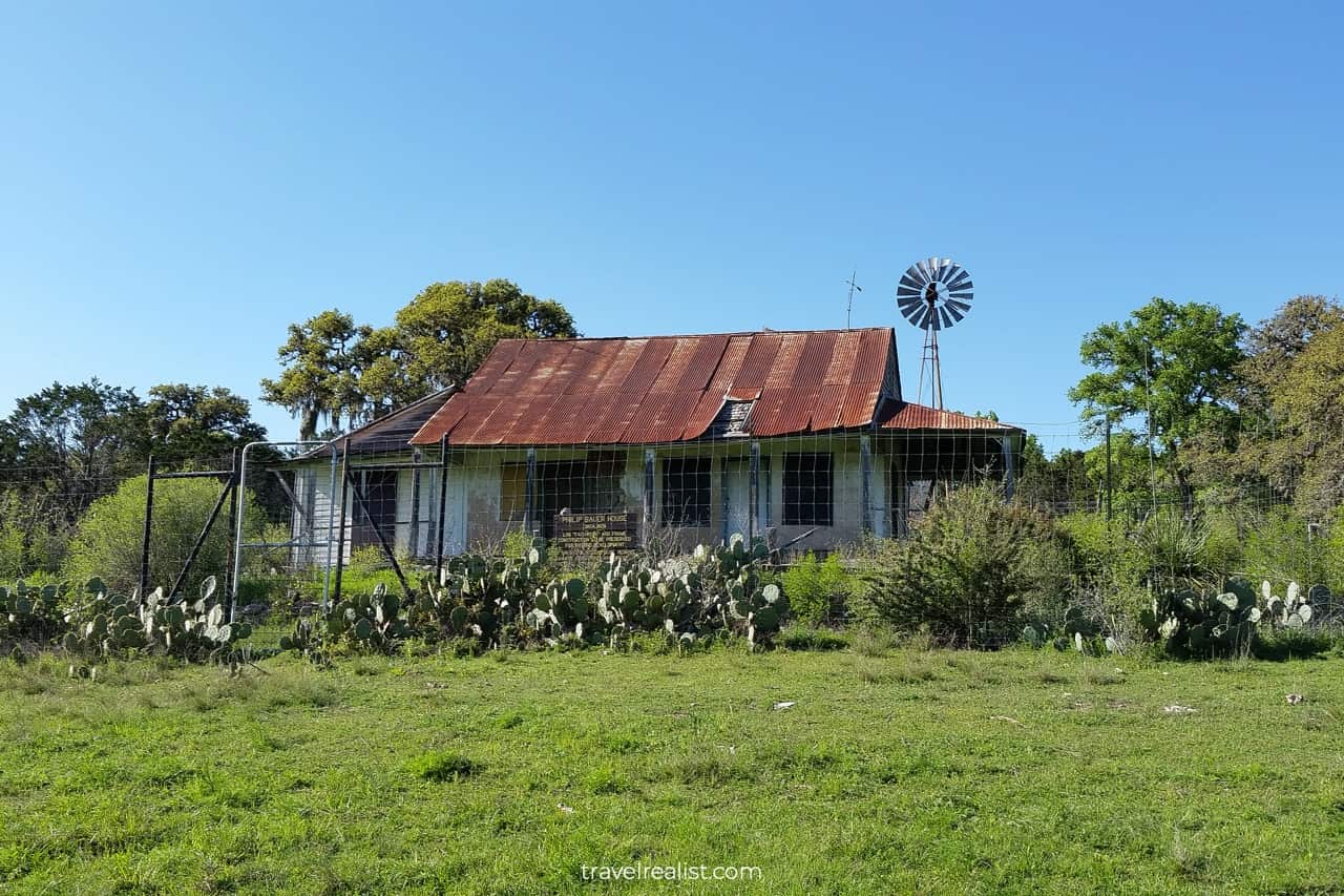
This trail is in the Bauer Unit of the park across the river. A drive to this unit involves a 15-mi (24-km) detour and takes almost 30 minutes. It might be a better idea to cross the river and start your hike.
Bring steady waterproof shoes if you decide to wade in the river. This trail has nearly double the elevation gain of other park trails. Depending on your starting point, you might have to hike to or from the river.
The Bauer Trail brings you to one of the highlights of the park. The historic Bauer House might not wow you in its current state. But it displays a typical homestead in Texas.
5. Bamberger Trail
- Distance: 1.7 miles (2.7 km)
- Elevation Gain: 78 ft (23 m)
- Type: out-and-back
- Difficulty: moderate
The Bamberger Trail is one of the hiking trails on the north shore of Guadalupe River. It is hard to suggest this path for your first visit to Guadalupe River. There are no must-visit sights along the way.
But it is quite difficult to visit the Bauer Unit of the park and not hike on the Bamberger Trail. In fact, this path is the only way to both Golden-Cheeked Warbler Trail and Curry Creek Overlook Trail.
The Bamberger Trail does not have a sizable elevation gain. Therefore, uphill climbs or steep descends will not be an issue while hiking this trail.
The distance and the lack of shade are the only challenges that await its hikers. As a result, this connecting trail could help beginner hikers build endurance and stamina.
6. Golden-Cheeked Warbler Trail
- Distance: 0.9 miles (1.5 km)
- Elevation Gain: 167 ft (51 m)
- Type: out-and-back
- Difficulty: moderate
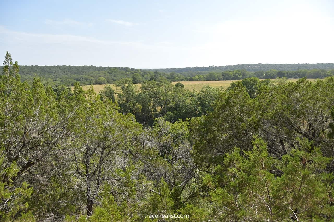
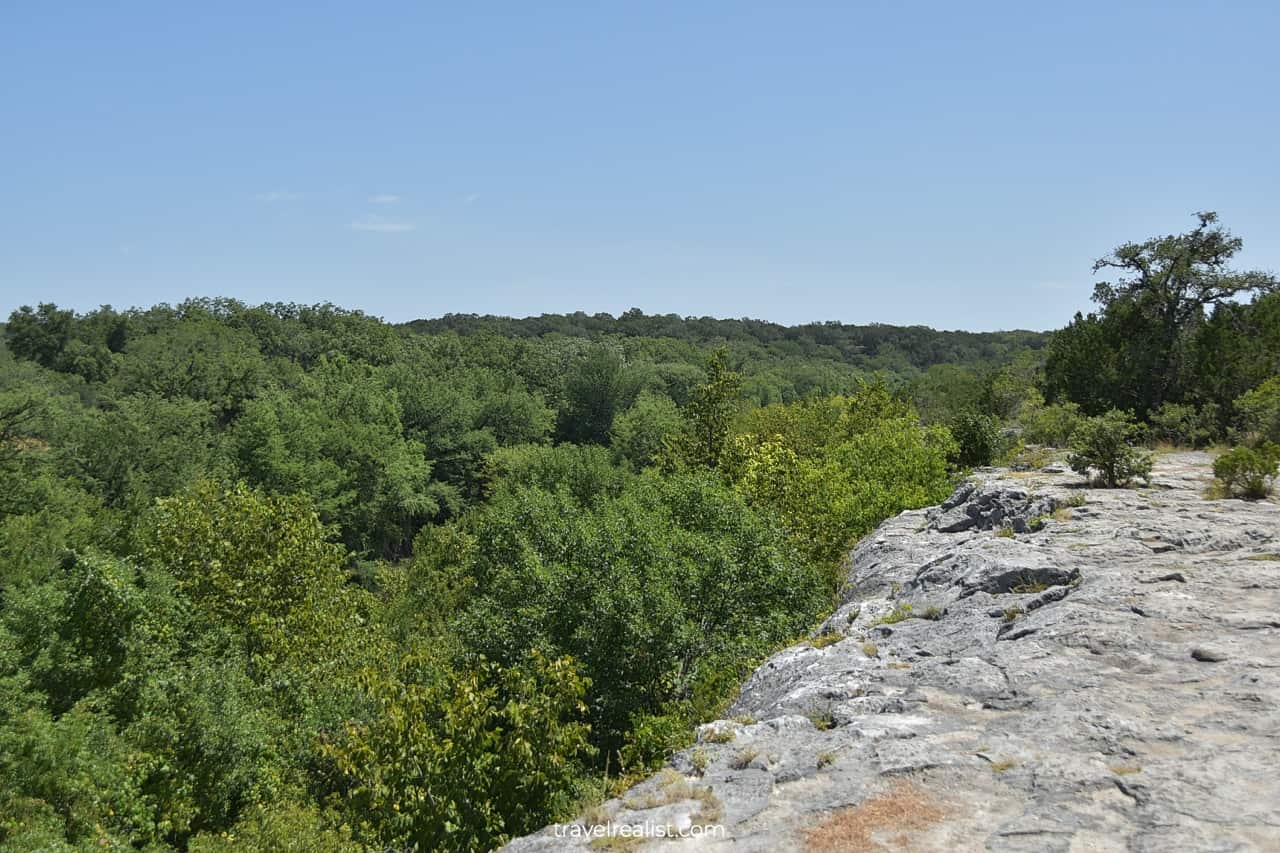
The Golden-Cheeked Warbler Trail is one of the best hiking trails to explore in the Bauer Unit of Guadalupe River. This trail has a lot of things that would appeal to experienced hikers.
A return trip on the Golden-Cheeked Warbler Trail covers almost 2 miles (3 km). There is some elevation gain on this trail. You could count on having both steep climbs and rapid descends.
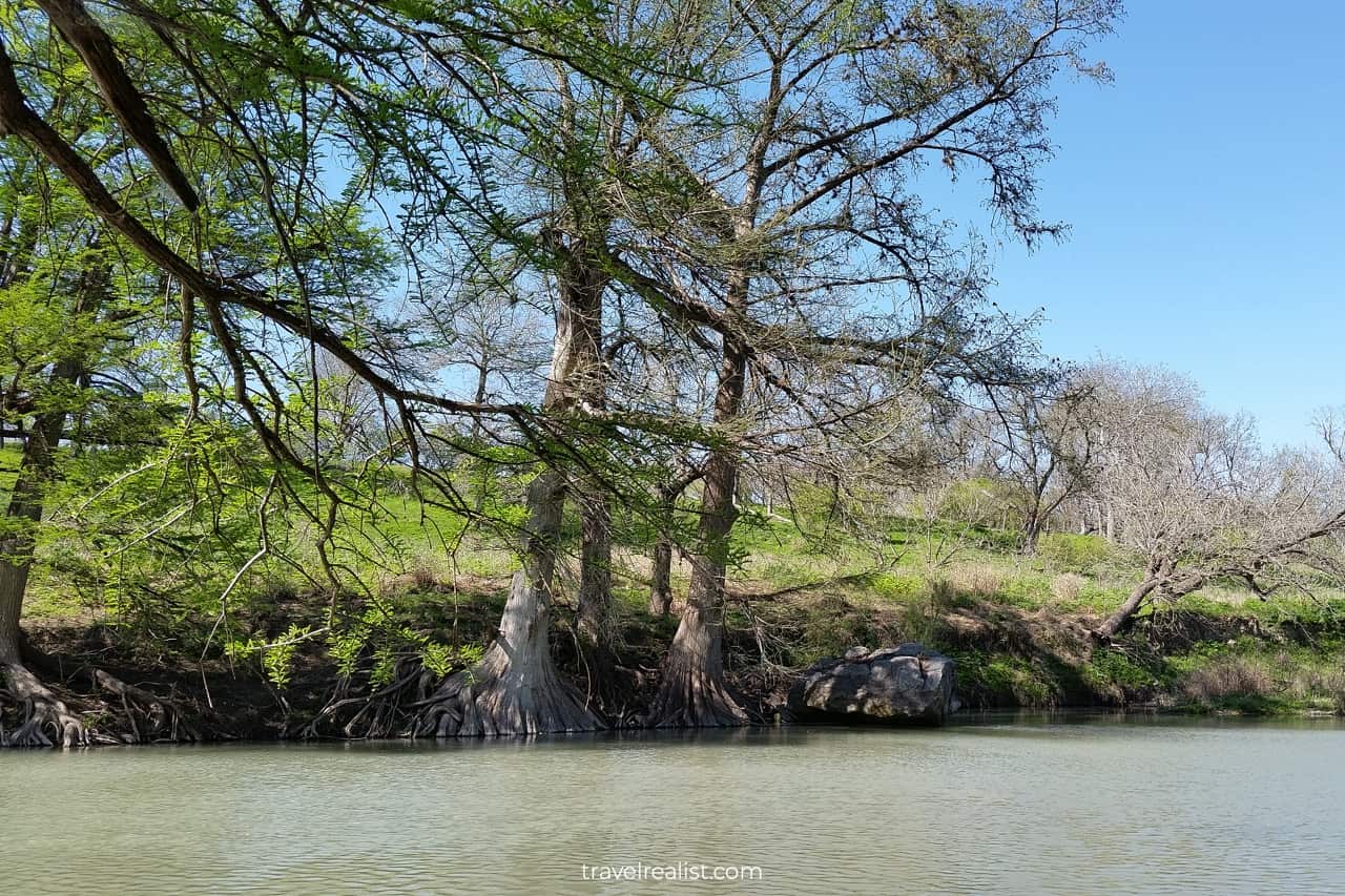
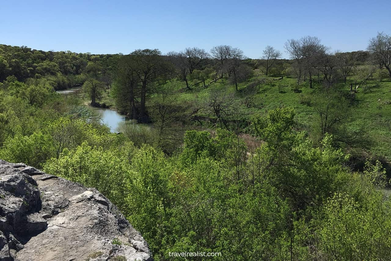
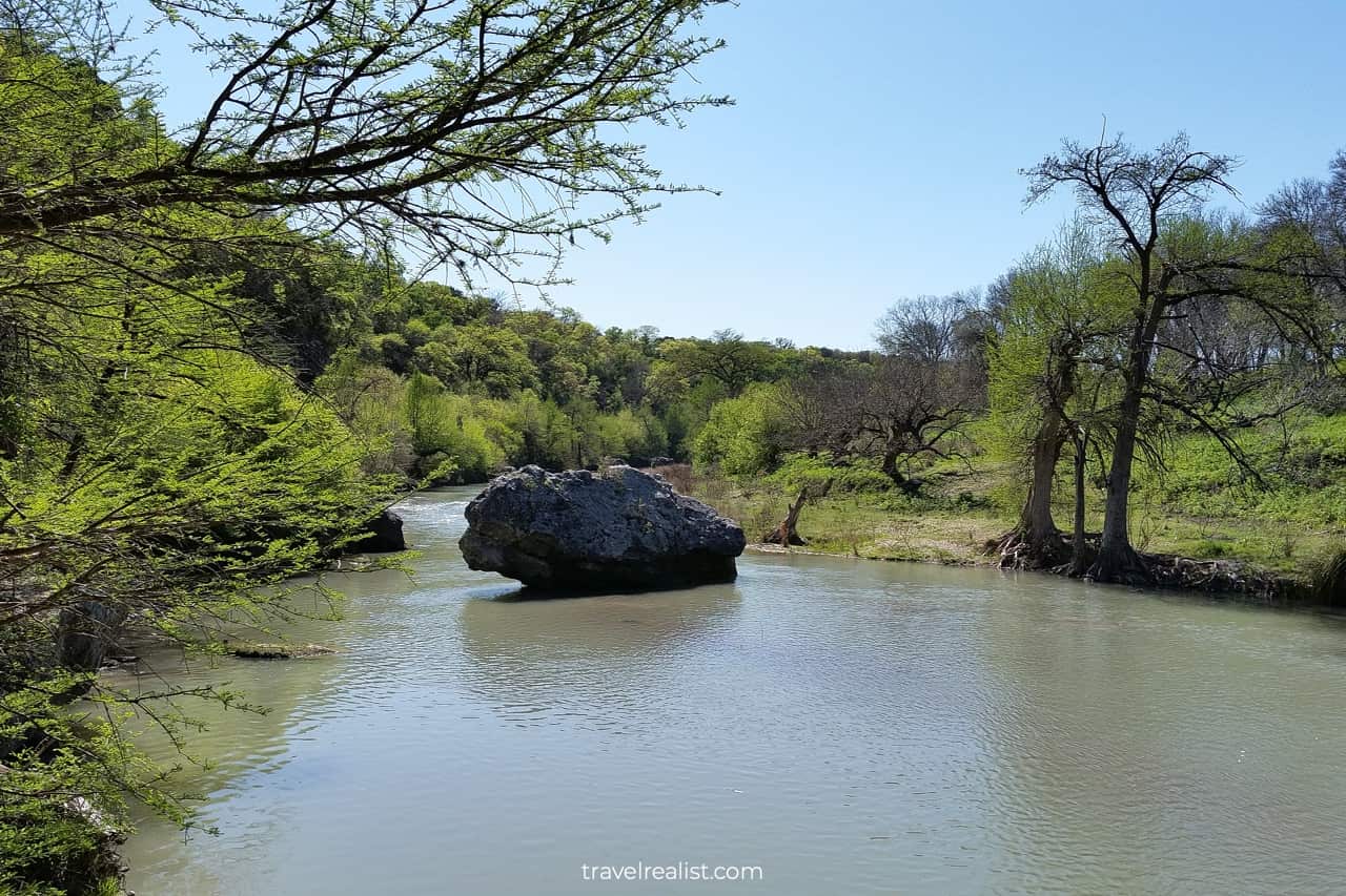
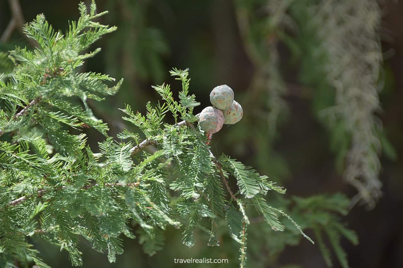
The trail brings you to a cliff top. You should expect great views of the river a few dozen feet (meters) below. The cypress trees on the shores round up the scenic view.
Last but not least, you could see golden-cheeked warblers. These endangered birds gave the trail its name. Head to the park between March and July to have the best chances of spotting them.
7. Little Bluestem Loop
- Distance: 0.7 miles (1.1 km)
- Elevation Gain: 7 ft (2 m)
- Type: loop
- Difficulty: easy
The Little Bluestem Loop is one of the few hiking trail loops in Guadalupe River State Park. This trail is the furthest path from the Bauer Unit parking lot.
Yet, it is closest to both the Ball Cypress Trail and Honey Creek State Natural Area. In fact, you could even see this trail from a Honey Creek viewpoint.
Both distance and elevation of the Little Bluestem Loop make it an easy hiking trail. But you should expect very little shade. This might not be the best trail to take in the summer, late spring, or early fall.
You could extend the hike by taking a 0.2-mi (0.3-km) River Access Trail. This is your chance to cross the river to the main park unit. You might even avoid getting your feet wet if the water level is low.
8. Barred Owl Trail
- Distance: 0.8 miles (1.3 km)
- Elevation Gain: 10 ft (3 m)
- Type: out-and-back
- Difficulty: easy
Back in the main park unit, you could take a look at the Barred Owl Trail. This hiking trail is unlikely to be a highlight of your visit to Guadalupe River. But, you could find this path rewarding if you frequent the park.
The Barred Owl Trail starts from the Cedar Sage Camping Area. It goes atop of the river cliffs with little elevation gain. Sadly, you should not expect river views. Trees and bushes will be in the way.
They provide a natural a barrier between the path and the cliff edge. But if you are lucky, you could spot a barred owl or two on your hike.
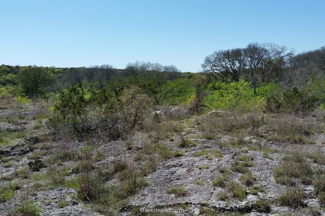
The path is a single track that goes through a prairie with occasional cedar trees. As a result, it is suitable for hikers, bikers, and horseback riders. Lack of shade is a notable downside.
9. Painted Bunting Trail
- Distance: 3.1 miles (5 km)
- Elevation Gain: 131 ft (40 m)
- Type: loop
- Difficulty: moderate
The Painted Bunting Trail is the last hiking trail to consider when visiting Guadalupe River State Park. This path is about as far from the river as you could get in the park.
But you do not need to cross the river to hike this path like in the Bauer Unit. In fact, most park visitors will pass its trailheads on the way to the main sights. You just need to pull over and start your hike.
The Painted Bunting Trail is by far the longest trail in the park. It is almost two times longer than the Bamberger Trail, the distant second path in the park. Look out for the painted bunting birds on the way.
A few sections of the Painted Bunting Trail go through cedar groves. But you should bring a hat and apply sunscreen when hiking this path. Prairies with no shade are its main scenery.
Continue with this Guadalupe River Hiking Trails Guide. You will learn more about ways to get to the sights, entrance requirements, and places to stay.
Getting to Guadalupe River
Guadalupe River State Park is in the Texas Hill Country. The park is split in half by the river and county lines. It is in both Comal and Kendall Counties. It joins Muleshoe Bend as another park in two counties.
Guadalupe River has two park units. The main unit is south of the Guadalupe River. It is a short drive from Highways TX-46 and US-281.
The Bauer Unit is on the north shores of the river. It is in a more remote area. You should budget about 25 minutes to reach the Bauer Unit from the main park.
The park is quite close to San Antonio. You could reach Guadalupe River in 45 minutes from the Alamo City. A drive to the Bauer Unit is just under an hour from San Antonio.
A car is necessary to reach both park units. If you do not have a car, you could consider renting one to visit the park. Guadalupe River alone might not justify a car rental. But wait till you pair it with other parks.
San Antonio Airport is a no-brainer gateway to Guadalupe River for out-of-state travelers. Since the airport is in the north of the city, you could hike the trails after less than 40 minutes.
If San Antonio does not work out with your itinerary, look at Austin Airport. You could reach the park between 1 hour 30 minutes and 1 hour 45 minutes depending on traffic.
Where to Stay near Guadalupe River
Guadalupe River is next to a few communities with places to stay. You have plenty of options when visiting this state park. Few state parks in Texas fit this description.
Start your search with Bulverde. This town is 20 minutes south of Guadalupe River. You cannot go wrong with Hampton Inn by Hilton Bulverde Texas Hill Country.
Places to stay along US-281 in San Antonio are also worth a look. Consider staying at Tru By Hilton San Antonio North or Drury Inn & Suites San Antonio North Stone Oak.
You have even more places to stay a little further south. Take a look at Holiday Inn Express – San Antonio Airport, an IHG Hotel.
You are in luck if the road brings you to Guadalupe River after an eastbound drive on Interstate Highway I-10. Consider making Hampton Inn & Suites Boerne your base for visiting the park.
New Braunfels is a great town to consider if you are traveling from Austin. Check out Courtyard by Marriott New Braunfels River Village and Homewood Suites by Hilton New Braunfels.
You could also look for places to stay along the I-35 corridor. Selma and San Marcos have a few places to stay. TownePlace Suites by Marriott San Antonio Universal City, Live Oak is an excellent place to stay.
A similar description applies to Fairfield Inn & Suites by Marriott Austin San Marcos. But keep in mind that these hotels are a little further away from Guadalupe River State Park.
Entrance Requirements & Passes
Guadalupe River State Park is open every day from 8 a.m. to 10 p.m. The Headquarters and Discovery Center have shorter hours. You could usually catch a ranger between 8 a.m. to 4:30 p.m.
The Discovery Center is only open Thursday to Sunday. Head there between 10 a.m. and 2 p.m. (weekdays) or 4 p.m. (weekend) to see the exhibits.
The Bauer Unit has a few more things to consider. There are no restrooms or running water in this part of the park. It will feel as if you are exploring the frontier land less than an hour from San Antonio.
Guadalupe River requires an entrance fee per person. It applies to all adults aged 13 and older. The daily admission is $7 per adult.
You could also purchase a Texas State Parks Pass. This annual pass covers admission fees for you and your guest for a year. You could even get a thirteenth month free if you buy the pass early in the month.
The park is a popular day trip destination from San Antonio. It often gets busy between March and November. Once the park reaches capacity of its parking lots, it closes for the day.
Unless you plan on arriving in the park before 10 a.m., you should get a day pass beforehand. You will have a spot no matter when you arrive in the park that day.
Even better, you do not need to pay any extra fees if you have a Texas State Parks Pass. All the more reasons to invest in an annual pass.
Takeaways: Guadalupe River Hiking Trails
Guadalupe River is a scenic park in the Texas Hill Country. It is a no-brainer destination for San Antonio residents year round.
If you live further away, a decision to visit Guadalupe River is a little more complex. The main sights of the park are along the Bald Cypress Trail. But this path is not too enjoyable with constant picnicking crowds.
Other hiking trails in Guadalupe River are not as scenic. They bring you through prairies and groves to the top of the cliffs. But the views pale in comparison to other Texas state parks.
You might be better off hiking in Garner, Lost Maples, or Enchanted Rock. Pedernales Falls and McKinney Falls are somewhat better as river and creek parks. Even Balcones Canyonlands might be more scenic.
If you are after history, you might not find Guadalupe River too insightful either. It has Bauer House and Rust House. But you could only see them on rare guided tours. The LBJ Ranch up north is a safer choice.
Proximity to Honey Creek is the only other consideration. You have to pass through Guadalupe River to visit this highly protected area. You might as well explore a few trails after a guided hike of Honey Creek.
Take a look at this Guadalupe River Hiking Trails Video Guide. And visit the YouTube channel for the latest videos.
Frequently Asked Questions
Guadalupe River State Park is in the Texas Hill Country north of San Antonio. The park is about 45 minutes from the Alamo City. A drive from Austin takes about 1.5 hours with no traffic.
There are two very different parks with similar names in Texas: Guadalupe Mountains and Guadalupe River.
– Guadalupe Mountains is a national park in West Texas with the highest peak in the Lone Star State.
– Guadalupe River is a state park near San Antonio with access to the Hill Country river.
It is challenging to visit both parks on one trip. These parks are some 449 miles (723 km) apart. You would need to drive for nearly 7 hours to cover this distance.
Head to Guadalupe River State Park if you enjoy tubing. While it is not completely free, this park gives you a cost-efficient way to float the river.
There are 19 hiking trails in Guadalupe River. Here are the best ones:
1. Bald Cypress Trail
2. Cedar Sage River Trail
3. River Overlook Trail
4. Bauer Trail
5. Bamberger Trail
6. Golden-Cheeked Warbler Trail
7. Little Bluestem Loop
8. Barred Owl Trail
9. Painted Bunting Trail
You have plenty of things to do in Guadalupe River State Park:
– See cliff swallows, golden-cheeked warblers, painted buntings, and barred owls.
– Hike a couple out of 13 miles of trails.
– Admire Swallow Cliff and river rapids.
– Wade, swim, or float the Guadalupe River.
– See the Bauer House and the Rust House.
– Explore nature exhibits in the Discovery Center.
Safe realist travels!